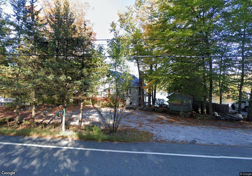
1432 Route 100 N Ludlow, VT 05149
Estimated Value: $853,091 - $1,224,000
5
Beds
3
Baths
2,861
Sq Ft
$341/Sq Ft
Est. Value
About This Home
This home is located at 1432 Route 100 N, Ludlow, VT 05149 and is currently estimated at $975,523, approximately $340 per square foot. 1432 Route 100 N is a home located in Windsor County with nearby schools including Ludlow Elementary School.
Ownership History
Date
Name
Owned For
Owner Type
Purchase Details
Closed on
Jan 11, 2024
Sold by
The James A Casey Irrevocable Trust and The Mary Jane Casey Irrevocable Trust
Bought by
The Casey Family Irrevocable Trust
Current Estimated Value
Purchase Details
Closed on
Nov 4, 2015
Sold by
Casey James A and Casey Mary Jane
Bought by
The James A Casey Irrevocable Trust and The Mary Jane Casey Irrevocable Trust
Purchase Details
Closed on
Jul 30, 2015
Sold by
James A Casey Irrevocable Trust and Mary Jane Casey Irrevocable Trust
Bought by
Casey James A and Casey Mary Jane
Purchase Details
Closed on
Mar 10, 2015
Sold by
The James A Casey Irrevocable Trust and The Mary Jane Casey Irrevocable Trust
Bought by
Casey James A and Casey Mary Jane
Create a Home Valuation Report for This Property
The Home Valuation Report is an in-depth analysis detailing your home's value as well as a comparison with similar homes in the area
Home Values in the Area
Average Home Value in this Area
Purchase History
| Date | Buyer | Sale Price | Title Company |
|---|---|---|---|
| The Casey Family Irrevocable Trust | -- | -- | |
| The James A Casey Irrevocable Trust | -- | -- | |
| The James A Casey Irrevocable Trust | -- | -- | |
| Casey James A | -- | -- | |
| Casey James A | -- | -- | |
| Casey James A | -- | -- | |
| Casey James A | -- | -- |
Source: Public Records
Tax History Compared to Growth
Tax History
| Year | Tax Paid | Tax Assessment Tax Assessment Total Assessment is a certain percentage of the fair market value that is determined by local assessors to be the total taxable value of land and additions on the property. | Land | Improvement |
|---|---|---|---|---|
| 2024 | $9,618 | $456,700 | $228,800 | $227,900 |
| 2023 | $7,272 | $456,700 | $228,800 | $227,900 |
| 2022 | $8,353 | $456,700 | $228,800 | $227,900 |
| 2021 | $8,556 | $456,700 | $228,800 | $227,900 |
| 2020 | $7,395 | $368,900 | $173,500 | $195,400 |
| 2019 | $7,243 | $368,900 | $173,500 | $195,400 |
| 2018 | $7,182 | $368,900 | $173,500 | $195,400 |
| 2016 | $6,592 | $368,900 | $173,500 | $195,400 |
Source: Public Records
Map
Nearby Homes
- 7 Norman Dr
- 00 Raymond Rd
- 150 N Shore Dr
- 166 Woods Rd W
- 19 Strawberry Ln
- 696 Vermont Route 100
- 00 N Hill Pent Rd
- 121 E Lake Rd
- 0 Burdock Ln Unit 5070352
- 434 Qtr. I Jackson Gore Inn
- 606/608 QII Jackson Gore Adams House Unit 606/608 QII
- 510/512 Qiii Jackson Gore Adams House Unit 510/512 QIII
- 517/519 QIII Jackson Gore Adams House Unit 517/519 QIII
- 368/370 Qtr I V Jackson Gore Inn
- 625/627 Q3 Jackson Gore Adams House Unit 625/627 Q3
- 714/716 QIII Jackson Gore Adams House Rd Unit 714/716 QIII
- 246/248 Qtr I Jackson Gore Inn
- 238 Q1 Jackson Gore Inn Unit 238 Q1
- 225/227 Qtr I Jackson Gore Inn
- 717/719 Q1-4 Jackson Gore Adams House Unit 717/719 Q1-4
- 1414 Route 100 N
- 1450 Route 100 N
- 1443 Route 100 N
- 1466 Route 100 N
- 1484 Route 100 N
- 1384 Route 100 N
- 32 Ellis Ln
- 1480 Route 100 N
- 31 Ellis Ln
- 1378 Route 100 N
- 25 Ellis Ln
- 50 Benson Point
- Lot Route 100 N
- 1379 Route 100 N
- 40 Sumner Rd
- 1491 Route 100 N
- 64 Benson Point
- 82 Benson Point
- 4 Ellis Ln
- 37 Sumner Rd