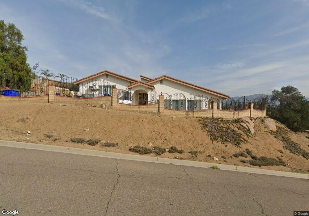
1432 Sundale Rd El Cajon, CA 92019
Rancho Park NeighborhoodEstimated Value: $989,000 - $1,360,000
4
Beds
4
Baths
3,599
Sq Ft
$334/Sq Ft
Est. Value
About This Home
This home is located at 1432 Sundale Rd, El Cajon, CA 92019 and is currently estimated at $1,203,239, approximately $334 per square foot. 1432 Sundale Rd is a home located in San Diego County with nearby schools including Fuerte Elementary School, Hillsdale Middle School, and Valhalla High.
Ownership History
Date
Name
Owned For
Owner Type
Purchase Details
Closed on
Sep 29, 1994
Sold by
Najor Mike and Najor Suad
Bought by
Najor Mike and Najor Suad
Current Estimated Value
Create a Home Valuation Report for This Property
The Home Valuation Report is an in-depth analysis detailing your home's value as well as a comparison with similar homes in the area
Home Values in the Area
Average Home Value in this Area
Purchase History
| Date | Buyer | Sale Price | Title Company |
|---|---|---|---|
| Najor Mike | -- | -- |
Source: Public Records
Tax History
| Year | Tax Paid | Tax Assessment Tax Assessment Total Assessment is a certain percentage of the fair market value that is determined by local assessors to be the total taxable value of land and additions on the property. | Land | Improvement |
|---|---|---|---|---|
| 2025 | $2,975 | $255,710 | $32,317 | $223,393 |
| 2024 | $2,975 | $250,697 | $31,684 | $219,013 |
| 2023 | $2,896 | $245,782 | $31,063 | $214,719 |
| 2022 | $2,849 | $240,963 | $30,454 | $210,509 |
| 2021 | $2,809 | $236,239 | $29,857 | $206,382 |
| 2020 | $2,778 | $233,817 | $29,551 | $204,266 |
| 2019 | $2,741 | $229,233 | $28,972 | $200,261 |
| 2018 | $2,696 | $224,739 | $28,404 | $196,335 |
| 2017 | $2,659 | $220,334 | $27,848 | $192,486 |
| 2016 | $2,552 | $216,014 | $27,302 | $188,712 |
| 2015 | $2,538 | $212,770 | $26,892 | $185,878 |
| 2014 | $2,487 | $208,603 | $26,366 | $182,237 |
Source: Public Records
Map
Nearby Homes
- 0 Hillsdale Rd Unit PTP2601192
- 1574 Shadow Knolls Dr
- 1525 Fair Glen Rd
- 1912 Jalisco Rd
- 1426 Hidden Mesa View Dr
- 1673 Hidden Mesa Rd
- 1810 Hillsdale Rd Unit 94
- 12083 Calle de Montana Unit 219
- 11992 Avenida Marcella
- 12092 Calle de Leon Unit 45
- 1918 Grove Rd
- 1560 Plantation Way
- 1780 Grove Rd
- 1975 Julianna St
- 11724 Shadow Valley Rd
- 2049 Wind River Rd
- 1526 Vista Vereda
- 11651 Shadowglen Rd
- 4815 Sunrise Hills Dr
- 12233 Via Hacienda
- 1420 Sundale Rd
- 1450 Sundale Rd
- 1462 Sundale Rd
- 1414 Sundale Rd
- 1433 Sundale Rd
- 1449 Sundale Rd
- 1410 Sundale Rd
- 1463 Sundale Rd
- 1443 Sundale Rd
- 1484 Fuerte Heights Ln
- 1504 Sundale Rd
- 1490 Fuerte Heights Ln
- 1478 Fuerte Heights Ln
- 1496 Fuerte Heights Ln
- 1435 Shadowside Ln
- 1512 Sundale Rd
- 1472 Fuerte Heights Ln
- 1503 Sundale Rd
- 1520 Sundale Rd
- 1509 Hollow Ct
Your Personal Tour Guide
Ask me questions while you tour the home.