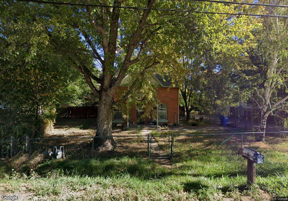
1432 W 3rd St Florence, CO 81226
Estimated Value: $154,000 - $321,000
3
Beds
2
Baths
1,594
Sq Ft
$166/Sq Ft
Est. Value
About This Home
This home is located at 1432 W 3rd St, Florence, CO 81226 and is currently estimated at $264,866, approximately $166 per square foot. 1432 W 3rd St is a home located in Fremont County with nearby schools including Fremont Elementary School, Florence High School, and Florence Christian School.
Ownership History
Date
Name
Owned For
Owner Type
Purchase Details
Closed on
Jul 13, 2023
Sold by
Owens Preston
Bought by
Owens Preston and Owens Danny
Current Estimated Value
Purchase Details
Closed on
May 24, 2023
Sold by
Owens Danny
Bought by
Owens Preston
Purchase Details
Closed on
May 10, 2023
Sold by
Owens Danny
Bought by
Owens Presten
Purchase Details
Closed on
Apr 23, 2004
Sold by
Owens Blanche Jocelyn
Purchase Details
Closed on
Mar 8, 1972
Sold by
Owens
Bought by
Owens
Purchase Details
Closed on
Oct 1, 1967
Bought by
Owens
Create a Home Valuation Report for This Property
The Home Valuation Report is an in-depth analysis detailing your home's value as well as a comparison with similar homes in the area
Home Values in the Area
Average Home Value in this Area
Purchase History
| Date | Buyer | Sale Price | Title Company |
|---|---|---|---|
| Owens Preston | -- | None Listed On Document | |
| Owens Preston | -- | None Listed On Document | |
| Owens Presten | -- | None Listed On Document | |
| -- | -- | -- | |
| Owens | $10,000 | -- | |
| Owens | -- | -- |
Source: Public Records
Tax History
| Year | Tax Paid | Tax Assessment Tax Assessment Total Assessment is a certain percentage of the fair market value that is determined by local assessors to be the total taxable value of land and additions on the property. | Land | Improvement |
|---|---|---|---|---|
| 2024 | $761 | $12,528 | $0 | $0 |
| 2023 | $549 | $8,843 | $0 | $0 |
| 2022 | $591 | $9,613 | $0 | $0 |
| 2021 | $597 | $9,889 | $0 | $0 |
| 2020 | $359 | $7,197 | $0 | $0 |
| 2019 | $364 | $7,197 | $0 | $0 |
| 2018 | $306 | $6,148 | $0 | $0 |
| 2017 | $315 | $6,148 | $0 | $0 |
| 2016 | $323 | $6,390 | $0 | $0 |
| 2015 | $319 | $6,390 | $0 | $0 |
| 2012 | $361 | $6,403 | $2,859 | $3,544 |
Source: Public Records
Map
Nearby Homes
- 1305 W 3rd St
- 111 Rocchio Dr
- 1218 W 3rd St
- 1203 W 3rd St
- 560 Oak Creek Ave
- 1001 W 1st St
- 203 N Frazier Ave
- 212 High Meadows Ct
- 619 W 3rd St
- 249 High Meadows Dr
- 602 W 2nd St
- 202 High Meadows Dr
- 178 High Meadows Dr
- 186 High Meadows Dr
- 157 High Meadows Dr
- 184 High Meadows Dr
- 188 High Meadows Dr
- 161 High Meadows Dr
- 163 High Meadows Dr
- 159 High Meadows Dr
Your Personal Tour Guide
Ask me questions while you tour the home.