14329 210th St E Hastings, MN 55033
Hastings-Marshan Township NeighborhoodEstimated Value: $448,034 - $473,000
3
Beds
1
Bath
1,536
Sq Ft
$300/Sq Ft
Est. Value
About This Home
This home is located at 14329 210th St E, Hastings, MN 55033 and is currently estimated at $460,517, approximately $299 per square foot. 14329 210th St E is a home located in Dakota County with nearby schools including Pinecrest Elementary School, Hastings Middle School, and Hastings High School.
Ownership History
Date
Name
Owned For
Owner Type
Purchase Details
Closed on
Jun 1, 1997
Sold by
Sajevic Patricia and Sajevic Peter
Bought by
Sajevic Peter and Sajevic Patricia
Current Estimated Value
Purchase Details
Closed on
Feb 1, 1997
Sold by
Sajevic Peter J and Sajevic Patricia
Bought by
Sajevic Peter J and Sajevic Patricia
Create a Home Valuation Report for This Property
The Home Valuation Report is an in-depth analysis detailing your home's value as well as a comparison with similar homes in the area
Home Values in the Area
Average Home Value in this Area
Purchase History
| Date | Buyer | Sale Price | Title Company |
|---|---|---|---|
| Sajevic Peter | $241,500 | -- | |
| Sajevic Peter J | $177,100 | -- |
Source: Public Records
Mortgage History
| Date | Status | Borrower | Loan Amount |
|---|---|---|---|
| Closed | Sajevic Peter | -- |
Source: Public Records
Tax History
| Year | Tax Paid | Tax Assessment Tax Assessment Total Assessment is a certain percentage of the fair market value that is determined by local assessors to be the total taxable value of land and additions on the property. | Land | Improvement |
|---|---|---|---|---|
| 2024 | $2,250 | $355,500 | $85,000 | $270,500 |
| 2023 | $1,926 | $324,000 | $80,300 | $243,700 |
| 2022 | $1,934 | $277,100 | $79,200 | $197,900 |
| 2021 | $2,012 | $252,600 | $68,200 | $184,400 |
| 2020 | $1,812 | $254,900 | $68,200 | $186,700 |
| 2019 | $1,747 | $216,600 | $65,000 | $151,600 |
| 2018 | $1,963 | $208,700 | $58,700 | $150,000 |
| 2017 | $1,669 | $208,000 | $55,900 | $152,100 |
| 2016 | $1,499 | $193,400 | $72,600 | $120,800 |
| 2015 | $1,461 | $156,998 | $61,495 | $95,503 |
| 2014 | -- | $151,984 | $58,833 | $93,151 |
| 2013 | -- | $134,108 | $51,869 | $82,239 |
Source: Public Records
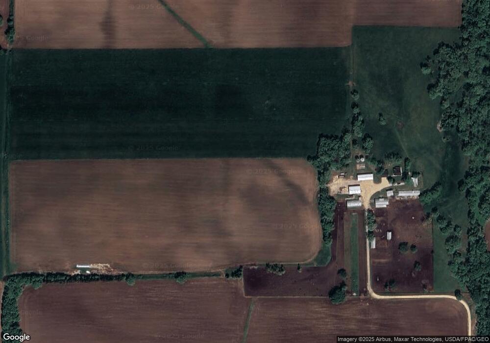
Map
Nearby Homes
- 21012 Orlando Ave
- Lot 1 Orlando Ave
- Lot 2 Orlando Ave
- 20620 Otero Ave
- 20300 Otero Ave
- XXX Otero Ave
- 18760 Orlando Ave
- 20091 Red Wing Blvd
- 593 Tuttle Dr
- 4099 Shannon Dr
- 120 Longspur Ct
- 3840 Martin Ct
- 182 Sandpiper Cir
- 323 Frederick Cir Unit 701
- 313 Frederick Cir Unit 106
- 379 Frederick Cir Unit 905
- 412 Frederick Cir
- 3575 Vermillion St
- 516 Marmik Cir
- 471 Frederick Cir Unit 1503
- 20495 Nicolai Ave
- 14176 210th St E
- 14288 210th St E
- 20352 Nicolai Ave
- 13873 210th St E
- 21078 Nicolai Ave
- 14661 210th St E
- 20470 Nicolai Ave
- 20470 Michael Ave
- 20958 Michael Ave
- 20651 Michael Ave
- 21350 Nicolai Ave
- 13638 210th St E
- 19980 Nicolai Ave
- 21050 Michael Ave
- 14915 210th St E
- 21356 Nicolai Ave
- 19990 Nicolai Ave
- 21170 Michael Ave
- 20225 Michael Ave
Your Personal Tour Guide
Ask me questions while you tour the home.