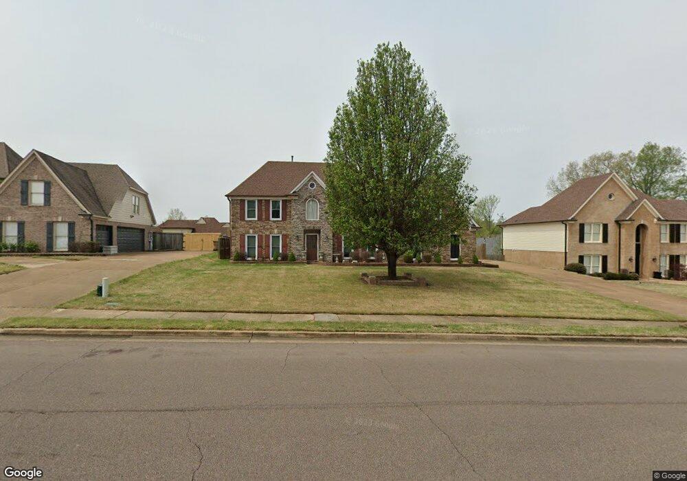
1433 Stable Run Dr Cordova, TN 38016
Gray's Creek NeighborhoodEstimated Value: $338,157 - $358,000
5
Beds
3
Baths
2,375
Sq Ft
$146/Sq Ft
Est. Value
About This Home
This home is located at 1433 Stable Run Dr, Cordova, TN 38016 and is currently estimated at $347,039, approximately $146 per square foot. 1433 Stable Run Dr is a home located in Shelby County with nearby schools including Macon-Hall Elementary School, Mt. Pisgah Middle School, and Bolton High School.
Ownership History
Date
Name
Owned For
Owner Type
Purchase Details
Closed on
Aug 10, 2021
Sold by
Mack Toni R
Bought by
Pierce Gerald and Pierce Kathleen R
Current Estimated Value
Purchase Details
Closed on
Mar 1, 2021
Sold by
Pierce Gerald
Bought by
Mack Toni R
Purchase Details
Closed on
Jun 25, 2004
Sold by
Chamberlain & Mccreery Inc
Bought by
Pierce Gerald and Pierce Kathleen
Home Financials for this Owner
Home Financials are based on the most recent Mortgage that was taken out on this home.
Original Mortgage
$171,087
Interest Rate
7.25%
Mortgage Type
Purchase Money Mortgage
Create a Home Valuation Report for This Property
The Home Valuation Report is an in-depth analysis detailing your home's value as well as a comparison with similar homes in the area
Home Values in the Area
Average Home Value in this Area
Purchase History
| Date | Buyer | Sale Price | Title Company |
|---|---|---|---|
| Pierce Gerald | -- | None Available | |
| Mack Toni R | -- | None Available | |
| Pierce Gerald | $213,859 | -- |
Source: Public Records
Mortgage History
| Date | Status | Borrower | Loan Amount |
|---|---|---|---|
| Previous Owner | Pierce Gerald | $171,087 | |
| Closed | Pierce Gerald | $42,772 |
Source: Public Records
Tax History Compared to Growth
Tax History
| Year | Tax Paid | Tax Assessment Tax Assessment Total Assessment is a certain percentage of the fair market value that is determined by local assessors to be the total taxable value of land and additions on the property. | Land | Improvement |
|---|---|---|---|---|
| 2025 | $2,061 | $86,825 | $17,250 | $69,575 |
| 2024 | $2,061 | $60,800 | $13,725 | $47,075 |
| 2023 | $2,061 | $60,800 | $13,725 | $47,075 |
| 2022 | $2,061 | $60,800 | $13,725 | $47,075 |
| 2021 | $2,098 | $60,800 | $13,725 | $47,075 |
| 2020 | $1,851 | $45,700 | $13,725 | $31,975 |
| 2019 | $1,851 | $45,700 | $13,725 | $31,975 |
| 2018 | $1,851 | $45,700 | $13,725 | $31,975 |
| 2017 | $1,878 | $45,700 | $13,725 | $31,975 |
| 2016 | $1,821 | $41,675 | $0 | $0 |
| 2014 | $1,821 | $41,675 | $0 | $0 |
Source: Public Records
Map
Nearby Homes
- 1419 Sawmill Creek Ln
- 10423 Redmond Dr
- 1480 Pemberton Ln
- 10481 Mabry Mill Rd
- 1258 Carlton Ridge Dr
- 10249 Sterling Ridge Dr
- 1636 Stable Run Dr
- 10225 Sterling Ridge Dr
- 10151 Macon Rd
- 10133 Lynham Dr
- 1663 N Pisgah Rd
- 10160 Sterling Ridge Dr
- 10098 Sutton Ridge Ln
- 1218 Pennock Dr
- 1649 Brimhill Ln
- 1210 Pennock Dr
- 1698 Pisgah Rd
- 1113 Red Fern Cir W
- 10095 Cross Valley Dr
- 10021 Branley Oak Dr
- 1443 Stable Run Dr
- 1423 Stable Run Dr
- 1432 Sutton Meadow Ln
- 1438 Sutton Meadow Ln
- 1426 Sutton Meadow Ln
- 1451 Stable Run Dr
- 1415 Stable Run Dr
- 1448 Sutton Meadow Ln
- 1432 Stable Run Dr
- 1442 Stable Run Dr
- 1418 Sutton Meadow Ln
- 1422 Stable Run Dr
- 1450 Stable Run Dr
- 1410 Sutton Meadow Ln
- 1459 Stable Run Dr
- 1407 Stable Run Dr
- 1414 Stable Run Dr
- 1460 Sutton Meadow Ln
- 1435 Sutton Meadow Ln
- 1429 Sutton Meadow Ln