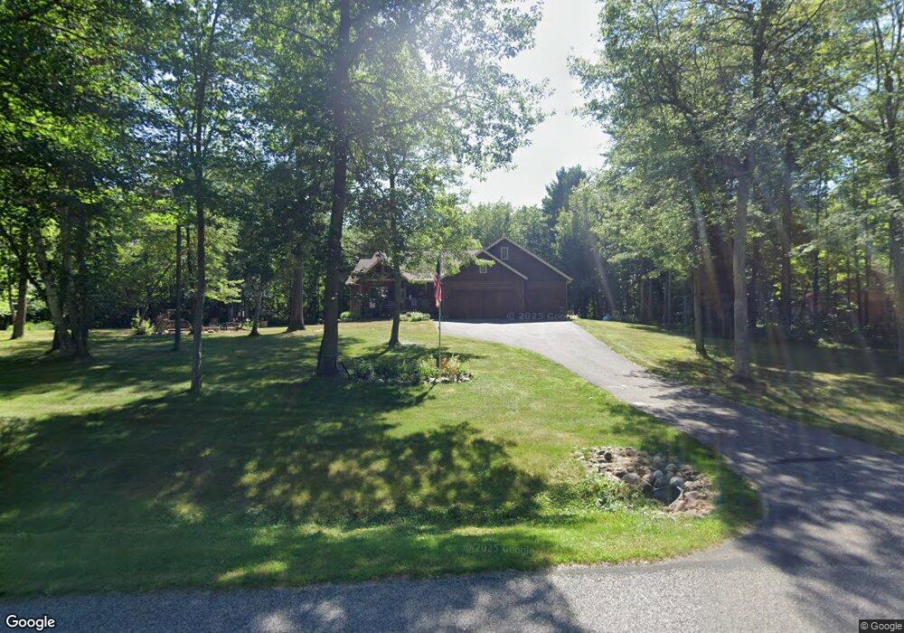
14334 Green Forest Cir Merrifield, MN 56465
Estimated Value: $564,000 - $817,000
5
Beds
3
Baths
1,632
Sq Ft
$402/Sq Ft
Est. Value
About This Home
This home is located at 14334 Green Forest Cir, Merrifield, MN 56465 and is currently estimated at $656,059, approximately $401 per square foot. 14334 Green Forest Cir is a home located in Crow Wing County with nearby schools including Garfield Elementary School, Forestview Middle School, and Brainerd Senior High School.
Ownership History
Date
Name
Owned For
Owner Type
Purchase Details
Closed on
Nov 9, 2015
Sold by
Smith Wayne Wayne
Bought by
Mcenelly Gary and Mcenelly Dona
Current Estimated Value
Purchase Details
Closed on
Dec 1, 2007
Sold by
Traut Duwayne and Traut Diane
Bought by
Smith Wayne Michael and Smith Lois L
Purchase Details
Closed on
Sep 1, 2006
Sold by
Grunewald William and Grunewald Joan
Bought by
Traut Duwayne and Traut Diane
Create a Home Valuation Report for This Property
The Home Valuation Report is an in-depth analysis detailing your home's value as well as a comparison with similar homes in the area
Home Values in the Area
Average Home Value in this Area
Purchase History
| Date | Buyer | Sale Price | Title Company |
|---|---|---|---|
| Mcenelly Gary | $315,000 | -- | |
| Smith Wayne Michael | $294,900 | -- | |
| Traut Duwayne | $35,000 | -- |
Source: Public Records
Tax History Compared to Growth
Tax History
| Year | Tax Paid | Tax Assessment Tax Assessment Total Assessment is a certain percentage of the fair market value that is determined by local assessors to be the total taxable value of land and additions on the property. | Land | Improvement |
|---|---|---|---|---|
| 2025 | $3,295 | $530,600 | $88,400 | $442,200 |
| 2024 | $3,262 | $497,300 | $77,900 | $419,400 |
| 2023 | $3,074 | $480,600 | $66,500 | $414,100 |
| 2022 | $3,112 | $456,900 | $49,700 | $407,200 |
| 2021 | $2,854 | $351,100 | $41,600 | $309,500 |
| 2020 | $2,980 | $313,500 | $44,000 | $269,500 |
| 2019 | $2,820 | $318,300 | $44,300 | $274,000 |
| 2018 | $2,452 | $309,000 | $43,300 | $265,700 |
| 2017 | $2,272 | $278,533 | $40,669 | $237,864 |
| 2016 | $2,268 | $247,000 | $41,700 | $205,300 |
| 2015 | $2,248 | $238,500 | $41,500 | $197,000 |
| 2014 | $937 | $206,900 | $32,300 | $174,600 |
Source: Public Records
Map
Nearby Homes
- TBD Tract D Gunpowder Rd
- TBD Lot C Gunpowder Rd
- 24126 County Road 19
- 13893 County Road 116
- 23829 Bulrush Dr
- 26363 County Road 3
- 27181 Ridgewood Dr
- 23235 Anderson Blvd
- 21682 Rebel Rd
- 13632 Piney Ln
- 24634 Wooded Trail
- TBD Miller Lake Rd
- 21544 Bluegill Rd
- 11292 Half Moon Dr
- 22519 County Road 3
- Lot 2 County Road 4
- TBD Whitetail St
- TBD Cr-109
- 20482 Lord Rd
- Tract C Tract C-Polaris
- xxx Green Forest Cir
- 14468 Green Forest Cir
- 14350 Green Forest Cir
- 0 Lot 5 Green Forest Cir Unit 3499439
- 24803 County Road 19
- TBD Lot 3 Green Forest Cir
- 14430 Green Forest Cir
- 14388 Green Forest Cir
- 14422 Green Forest Cir
- Lot 5 Green Forest Cir
- 24717 County Road 19
- Lot 3 Co Rd 19
- 24689 County Road 19
- 24680 County Road 19
- 24106 Gunpowder Rd
- Lot 5 County Rd 19
- 24680 24680 County Road 19
- Lot 2 Co Rd 19
- 24637 County Road 19
- 24609 County Road 19