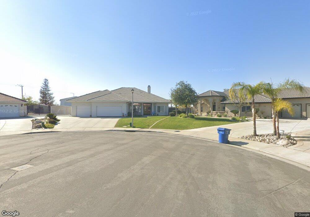
14337 Table Rock Ave Bakersfield, CA 93314
Estimated Value: $684,000 - $760,000
4
Beds
3
Baths
2,621
Sq Ft
$275/Sq Ft
Est. Value
About This Home
This home is located at 14337 Table Rock Ave, Bakersfield, CA 93314 and is currently estimated at $720,934, approximately $275 per square foot. 14337 Table Rock Ave is a home located in Kern County with nearby schools including Patriot Elementary School, Freedom Middle School, and Frontier High School.
Ownership History
Date
Name
Owned For
Owner Type
Purchase Details
Closed on
Jul 19, 2019
Sold by
Perlis Charles H and Perlis Sandra L
Bought by
Perlis Charles H and Perlis Sandra L
Current Estimated Value
Purchase Details
Closed on
Jul 15, 2002
Sold by
Batey Development Inc
Bought by
Perlis Charles H and Perlis Sandra L
Home Financials for this Owner
Home Financials are based on the most recent Mortgage that was taken out on this home.
Original Mortgage
$210,000
Interest Rate
6.12%
Mortgage Type
Construction
Create a Home Valuation Report for This Property
The Home Valuation Report is an in-depth analysis detailing your home's value as well as a comparison with similar homes in the area
Home Values in the Area
Average Home Value in this Area
Purchase History
| Date | Buyer | Sale Price | Title Company |
|---|---|---|---|
| Perlis Charles H | -- | None Available | |
| Perlis Charles H | $70,000 | First American Title |
Source: Public Records
Mortgage History
| Date | Status | Borrower | Loan Amount |
|---|---|---|---|
| Previous Owner | Perlis Charles H | $210,000 |
Source: Public Records
Tax History
| Year | Tax Paid | Tax Assessment Tax Assessment Total Assessment is a certain percentage of the fair market value that is determined by local assessors to be the total taxable value of land and additions on the property. | Land | Improvement |
|---|---|---|---|---|
| 2025 | $7,474 | $539,222 | $101,370 | $437,852 |
| 2024 | $7,253 | $528,651 | $99,383 | $429,268 |
| 2023 | $7,253 | $518,288 | $97,435 | $420,853 |
| 2022 | $7,120 | $508,128 | $95,525 | $412,603 |
| 2021 | $6,977 | $498,166 | $93,652 | $404,514 |
| 2020 | $6,866 | $491,000 | $123,000 | $368,000 |
| 2019 | $6,551 | $458,000 | $110,000 | $348,000 |
| 2018 | $6,374 | $455,916 | $89,094 | $366,822 |
| 2017 | $6,342 | $446,979 | $87,348 | $359,631 |
| 2016 | $5,803 | $438,216 | $85,636 | $352,580 |
| 2015 | $5,741 | $431,635 | $84,350 | $347,285 |
| 2014 | $5,509 | $413,000 | $103,000 | $310,000 |
Source: Public Records
Map
Nearby Homes
- 14332 Table Rock Ave
- 14012 Cedar Creek Ave
- 14025 Desert Rose Ct
- 14705 Citrus Tree Ct
- 14631 Blue Stream Ave
- 14524 Plumeria Ct
- 4140 Meadow Lake Dr
- 3849 Jenkins Rd
- 12403 Hageman Rd
- 12701 Hageman Rd
- 14822 Plumeria Ct
- 3408 Shauna Marie St
- 14507 Evadell Ct
- 15002 Southernwood Ave
- 13620 Philip Phelps Ave
- 13547 Philip Phelps Ave
- 13602 Philip Phelps Ave
- 13601 Philip Phelps Ave
- 13615 Velma Pearl Way
- 15020 Cotton Blossom Ave
- 14325 Table Rock Ave
- 14307 Table Rock Ave Unit 2
- 14324 Table Rock Ave Unit 2
- 14306 Table Rock Ave
- 14253 Table Rock Ave
- 14252 Table Rock Ave
- 14339 Cedar Creek Ave
- 14321 Cedar Creek Ave
- 14255 Hageman Rd
- 14363 Cedar Creek Ave
- 14233 Table Rock Ave
- 14303 Cedar Creek Ave
- 14232 Table Rock Ave
- 14421 Cedar Creek Ave
- 14249 Cedar Creek Ave
- 14215 Table Rock Ave
- 14214 Table Rock Ave
- 14229 Cedar Creek Ave
- 14163 Table Rock Ave
- 14338 Cedar Creek Ave
Your Personal Tour Guide
Ask me questions while you tour the home.