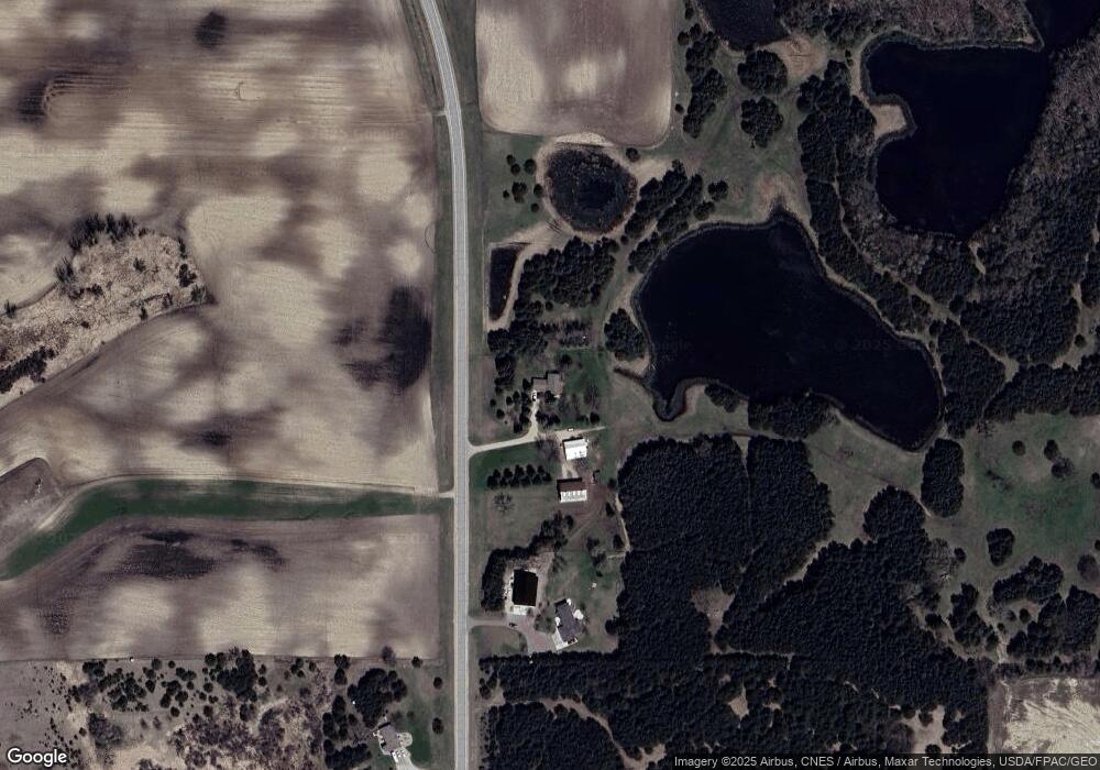
14347 10th St NE Spicer, MN 56288
Estimated Value: $486,000 - $673,000
4
Beds
--
Bath
2,412
Sq Ft
$230/Sq Ft
Est. Value
About This Home
This home is located at 14347 10th St NE, Spicer, MN 56288 and is currently estimated at $554,768, approximately $230 per square foot. 14347 10th St NE is a home located in Kandiyohi County with nearby schools including Prairie Woods Elementary School, New London-Spicer Middle School, and New London-Spicer Senior High School.
Ownership History
Date
Name
Owned For
Owner Type
Purchase Details
Closed on
Sep 3, 2010
Sold by
Bentson Donna L
Bought by
Lingle Brian L and Lingle Kristine L
Current Estimated Value
Home Financials for this Owner
Home Financials are based on the most recent Mortgage that was taken out on this home.
Original Mortgage
$200,000
Outstanding Balance
$68,035
Interest Rate
4.54%
Mortgage Type
New Conventional
Estimated Equity
$486,733
Purchase Details
Closed on
Jul 1, 2010
Sold by
Bengtson Donna L
Bought by
Bengtson Muriel L and Cors Lynette A
Purchase Details
Closed on
Sep 21, 2004
Sold by
Bengtson Lance Maylan and Bengtson Donna
Bought by
Bengtson Lance Maylan and Bengtson Donna
Create a Home Valuation Report for This Property
The Home Valuation Report is an in-depth analysis detailing your home's value as well as a comparison with similar homes in the area
Home Values in the Area
Average Home Value in this Area
Purchase History
| Date | Buyer | Sale Price | Title Company |
|---|---|---|---|
| Lingle Brian L | $275,000 | None Available | |
| Bengtson Muriel L | -- | None Available | |
| Bengtson Donna L | -- | None Available | |
| Peltier Bernice J | -- | None Available | |
| Bengtson Lance Maylan | -- | None Available |
Source: Public Records
Mortgage History
| Date | Status | Borrower | Loan Amount |
|---|---|---|---|
| Open | Lingle Brian L | $200,000 |
Source: Public Records
Tax History Compared to Growth
Tax History
| Year | Tax Paid | Tax Assessment Tax Assessment Total Assessment is a certain percentage of the fair market value that is determined by local assessors to be the total taxable value of land and additions on the property. | Land | Improvement |
|---|---|---|---|---|
| 2025 | $4,022 | $411,600 | $75,500 | $336,100 |
| 2024 | $3,270 | $401,600 | $65,000 | $336,600 |
| 2023 | $2,988 | $329,300 | $65,000 | $264,300 |
| 2022 | $2,928 | $307,400 | $58,000 | $249,400 |
| 2021 | $2,362 | $261,300 | $51,700 | $209,600 |
| 2020 | $2,324 | $234,600 | $51,700 | $182,900 |
| 2019 | $2,296 | $228,600 | $49,500 | $179,100 |
| 2018 | $2,236 | $222,700 | $49,500 | $173,200 |
| 2017 | $2,252 | $220,000 | $49,500 | $170,500 |
| 2016 | $2,190 | $2,017 | $0 | $0 |
| 2015 | -- | $0 | $0 | $0 |
| 2014 | -- | $0 | $0 | $0 |
Source: Public Records
Map
Nearby Homes
- 13112 2nd St NE
- 311 131st Ave NE
- 1245 137th Ave NW
- 4316 133rd Ave NE
- 4539 141st Ave NE
- 4808 132nd Ave NE Unit 25
- 870 S Andrew Dr NE
- 10957 Highway 71 NE
- 1122 S Andrew Dr NE
- 5078 132nd Ave NE
- 5288 (R22) 53rd St NE
- 5288 (R24) 53rd St NE
- 5272 (R26) 53rd St NE
- 5288 (R19) 53rd St NE
- 13205 (R17) 53rd St NE
- 5288 (R23) 53rd St NE
- 5288 132nd Ave NE Unit C7
- TBD Lot E Co Rd 40
- TBD Lot H Co Rd 40
- 6844 140th Ave NE
- 14297 10th St NE
- 14250 10th St NE
- 14702 Unit 10 Shore N
- 13820 10th St NE
- 15121 7th St NE
- 401 150th Ave NE
- 15401 7th St NE
- 14800 Highway 71 NE
- 13807 2nd St NE
- 15518 7th St NE
- 13812 2nd St NE
- 13816 2nd St NE
- 13858 2nd St NE
- 13526 2nd St NE
- 13880 2nd St NE
- 13754 2nd St NE
- 13650 2nd St NE
- 13714 2nd St NE
- 13630 2nd St NE
- 13672 2nd St NE
