14348 State Highway 29 Glenwood, MN 56334
Estimated Value: $434,257 - $495,000
2
Beds
1
Bath
1,352
Sq Ft
$340/Sq Ft
Est. Value
About This Home
This home is located at 14348 State Highway 29, Glenwood, MN 56334 and is currently estimated at $459,752, approximately $340 per square foot. 14348 State Highway 29 is a home located in Pope County with nearby schools including Minnewaska Area Elementary School, Minnewaska Area Intermediate School, and Minnewaska Area Junior High School.
Ownership History
Date
Name
Owned For
Owner Type
Purchase Details
Closed on
Jul 1, 2021
Sold by
Sorenson Grace Grace
Bought by
Green David David
Current Estimated Value
Home Financials for this Owner
Home Financials are based on the most recent Mortgage that was taken out on this home.
Original Mortgage
$375,000
Outstanding Balance
$340,669
Interest Rate
2.98%
Estimated Equity
$119,083
Purchase Details
Closed on
Nov 1, 2005
Bought by
Martinson Paul K
Create a Home Valuation Report for This Property
The Home Valuation Report is an in-depth analysis detailing your home's value as well as a comparison with similar homes in the area
Home Values in the Area
Average Home Value in this Area
Purchase History
| Date | Buyer | Sale Price | Title Company |
|---|---|---|---|
| Green David David | $375,000 | -- | |
| Martinson Paul K | -- | -- |
Source: Public Records
Mortgage History
| Date | Status | Borrower | Loan Amount |
|---|---|---|---|
| Open | Green David David | $375,000 |
Source: Public Records
Tax History Compared to Growth
Tax History
| Year | Tax Paid | Tax Assessment Tax Assessment Total Assessment is a certain percentage of the fair market value that is determined by local assessors to be the total taxable value of land and additions on the property. | Land | Improvement |
|---|---|---|---|---|
| 2025 | $2,654 | $418,900 | $105,800 | $313,100 |
| 2024 | $2,654 | $394,300 | $105,100 | $289,200 |
| 2023 | $1,610 | $370,000 | $104,900 | $265,100 |
| 2022 | $1,384 | $239,600 | $99,500 | $140,100 |
| 2021 | $1,308 | $170,900 | $61,700 | $109,200 |
| 2020 | $1,376 | $160,000 | $51,700 | $108,300 |
| 2018 | $1,378 | $0 | $0 | $0 |
| 2017 | $1,282 | $0 | $0 | $0 |
| 2016 | -- | $0 | $0 | $0 |
| 2015 | -- | $0 | $0 | $0 |
| 2014 | -- | $0 | $0 | $0 |
Source: Public Records
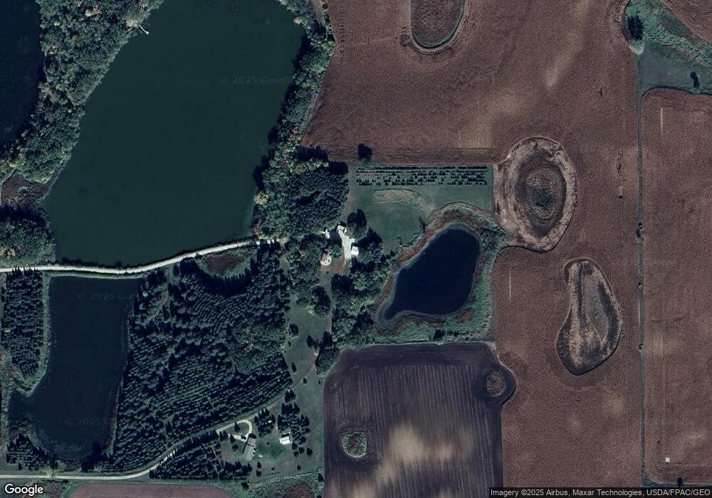
Map
Nearby Homes
- 1106 2nd St NE
- 1020 2nd St NE
- 411 4th Ave NE
- 425 2nd Ave NE
- 1429 1st Ave NE
- 705 State Highway 28 W
- 238XX N Lake Shore Dr
- 507 1st Ave SE
- 105 10th St SE
- 279 Minnesota Ave W Unit 203
- 23359 170th St
- 210 2nd Ave SE
- 23355 N Lakeshore Dr
- 406 Franklin St S
- 521 6th Ave SE
- 730 6th Ave SE
- 720 6th Ave SE
- 740 6th Ave SE
- TBD Highway 28 29
- 23727 N Lakeshore Dr
- 14494 State Highway 29
- 14000 Mn-29
- 14000 State Highway 29
- 0 Hwy 29 N Unit 3564623
- 0 Hwy 29 N Unit 3562640
- 14000 14000 Mn 29
- N Hwy 29
- 14393 State Highway 29
- 22234 140th St
- 14389 State Highway 29
- 0 Hwy 29 N Unit 4602436
- 0 Hwy 29 N Unit 4602435
- 0 Hwy 29 N Unit 4589999
- 0 Hwy 29 N Unit 5512961
- 0 Hwy 29 N Unit 5516625
- 0 Hwy 29 N Unit 5516624
- 0 Hwy 29 N Unit 5512334
- 0 Hwy 29 N Unit 5512336
- 0 Hwy 29 N Unit 5512328
- 21388 150th St