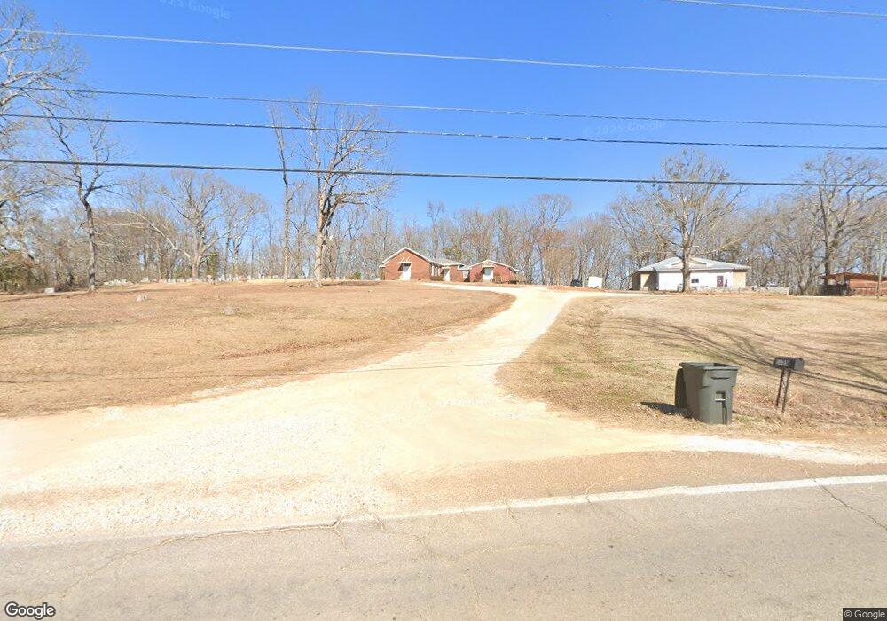
1435 Highway 342 Pontotoc, MS 38863
Estimated Value: $116,141 - $268,000
--
Bed
--
Bath
2,000
Sq Ft
$111/Sq Ft
Est. Value
About This Home
This home is located at 1435 Highway 342, Pontotoc, MS 38863 and is currently estimated at $221,285, approximately $110 per square foot. 1435 Highway 342 is a home located in Pontotoc County with nearby schools including Pontotoc Elementary School, D.T. Cox Elementary School, and Pontotoc Middle School.
Ownership History
Date
Name
Owned For
Owner Type
Purchase Details
Closed on
Aug 14, 2020
Sold by
Gregory Jason W
Bought by
Whitt Amanda and Whitt Matthew Tyler
Current Estimated Value
Home Financials for this Owner
Home Financials are based on the most recent Mortgage that was taken out on this home.
Original Mortgage
$80,300
Outstanding Balance
$42,484
Interest Rate
3%
Mortgage Type
Credit Line Revolving
Estimated Equity
$178,801
Purchase Details
Closed on
May 1, 2017
Sold by
Howe Burney and Howe Seth
Bought by
Whitt Matthew
Purchase Details
Closed on
Feb 12, 2007
Sold by
Thomas Properties Of Ms Llc
Bought by
Murphree Gwen
Create a Home Valuation Report for This Property
The Home Valuation Report is an in-depth analysis detailing your home's value as well as a comparison with similar homes in the area
Home Values in the Area
Average Home Value in this Area
Purchase History
| Date | Buyer | Sale Price | Title Company |
|---|---|---|---|
| Whitt Amanda | -- | None Available | |
| Whitt Matthew | -- | -- | |
| Murphree Gwen | -- | -- |
Source: Public Records
Mortgage History
| Date | Status | Borrower | Loan Amount |
|---|---|---|---|
| Open | Whitt Amanda | $80,300 |
Source: Public Records
Tax History Compared to Growth
Tax History
| Year | Tax Paid | Tax Assessment Tax Assessment Total Assessment is a certain percentage of the fair market value that is determined by local assessors to be the total taxable value of land and additions on the property. | Land | Improvement |
|---|---|---|---|---|
| 2024 | $703 | $5,498 | $0 | $0 |
| 2023 | $701 | $5,498 | $0 | $0 |
| 2022 | $566 | $4,426 | $0 | $0 |
| 2021 | $580 | $4,426 | $0 | $0 |
| 2020 | $549 | $4,426 | $0 | $0 |
| 2019 | $383 | $4,462 | $0 | $0 |
| 2018 | $361 | $4,183 | $0 | $0 |
| 2017 | $379 | $4,183 | $0 | $0 |
| 2016 | $379 | $4,183 | $0 | $0 |
| 2015 | $214 | $4,183 | $0 | $0 |
| 2014 | $214 | $4,183 | $0 | $0 |
Source: Public Records
Map
Nearby Homes
- 1435 Highway 342
- 1435 Hwy 342
- 1489 Highway 342
- 1489 Highway 342
- 1388 Highway 342
- 1478 Highway 342
- 2685 Horseshoe Bend
- 2685 Horseshoe Bend
- 1547 Highway 342
- 1305 Highway 342
- 1305 Highway 342
- 1208 Highway 342
- 1630 Black Zion Rd
- 1630 Hwy 342
- 1209 Highway 342
- 1694 Black Zion Rd
- 1694 Highway 342
- 1676 Highway 342
- 1694 Hwy 342
- 2513 Horseshoe Bend