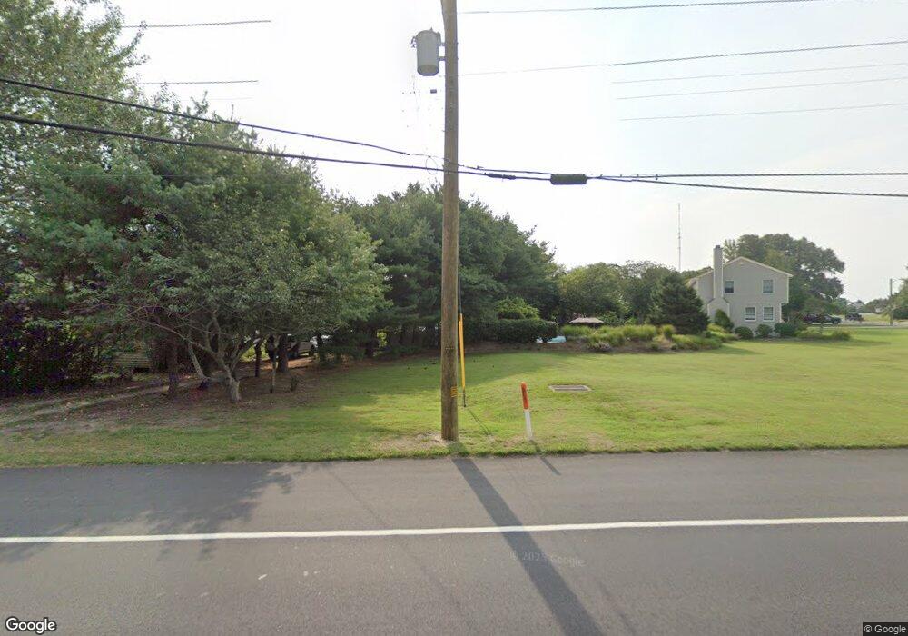
1435 Route 9 Ocean View, NJ 08230
Estimated Value: $236,000 - $601,000
--
Bed
--
Bath
1,620
Sq Ft
$280/Sq Ft
Est. Value
About This Home
This home is located at 1435 Route 9, Ocean View, NJ 08230 and is currently estimated at $453,333, approximately $279 per square foot. 1435 Route 9 is a home located in Cape May County with nearby schools including Upper Township Primary School, Upper Township Elementary School, and Upper Township Middle School.
Ownership History
Date
Name
Owned For
Owner Type
Purchase Details
Closed on
Jun 14, 2017
Sold by
Jackson Michelle M
Bought by
Chattin Robert
Current Estimated Value
Purchase Details
Closed on
Jan 2, 1997
Sold by
Cossaboone Christopher
Bought by
Anndubruille Michael and Andubruille Patti
Purchase Details
Closed on
Jun 15, 1992
Sold by
Cossaboone Charles F and Cossaboone Patricia S
Bought by
Risdon Hristopher L and Risdon Kimberly A
Purchase Details
Closed on
May 2, 1990
Sold by
Cossaboone Charles F and Cossaboone Patricia S
Bought by
Atlantic City Electric Co
Create a Home Valuation Report for This Property
The Home Valuation Report is an in-depth analysis detailing your home's value as well as a comparison with similar homes in the area
Home Values in the Area
Average Home Value in this Area
Purchase History
| Date | Buyer | Sale Price | Title Company |
|---|---|---|---|
| Chattin Robert | $12,000 | None Available | |
| Anndubruille Michael | $95,000 | -- | |
| Risdon Hristopher L | $85,500 | -- | |
| Atlantic City Electric Co | -- | -- |
Source: Public Records
Tax History Compared to Growth
Tax History
| Year | Tax Paid | Tax Assessment Tax Assessment Total Assessment is a certain percentage of the fair market value that is determined by local assessors to be the total taxable value of land and additions on the property. | Land | Improvement |
|---|---|---|---|---|
| 2025 | $6,472 | $282,000 | $113,800 | $168,200 |
| 2024 | $6,472 | $282,000 | $113,800 | $168,200 |
| 2023 | $6,153 | $282,000 | $113,800 | $168,200 |
| 2022 | $5,947 | $282,000 | $113,800 | $168,200 |
| 2021 | $4,250 | $282,000 | $113,800 | $168,200 |
| 2020 | $5,522 | $282,000 | $113,800 | $168,200 |
| 2019 | $5,389 | $282,000 | $113,800 | $168,200 |
| 2018 | $5,251 | $282,000 | $113,800 | $168,200 |
| 2017 | $5,192 | $282,000 | $113,800 | $168,200 |
| 2016 | $5,273 | $282,000 | $113,800 | $168,200 |
| 2015 | $5,135 | $282,000 | $113,800 | $168,200 |
| 2014 | $5,286 | $355,500 | $190,400 | $165,100 |
Source: Public Records
Map
Nearby Homes
- 1340 U S 9
- 1233 Route 9
- 28 Queen Anne Ct
- 40 Butter Rd
- 1729 Shore Rd
- 4 Sandcastle Dr
- 1731 Route 9 Unit 28
- 3 Sandcastle Dr
- 124 Butter Rd
- 11 Red Oak Dr
- 1431 Stagecoach Rd
- 4 Bayview Ave
- 100 Bayview Ave
- 19 Bayview Ave
- 46 Victoria Ln
- 49 Hope Corson Rd
- 127 Route 50
- 11 Evio John Ct
- 10 New Jersey 50
- 4 W Katherine Ave