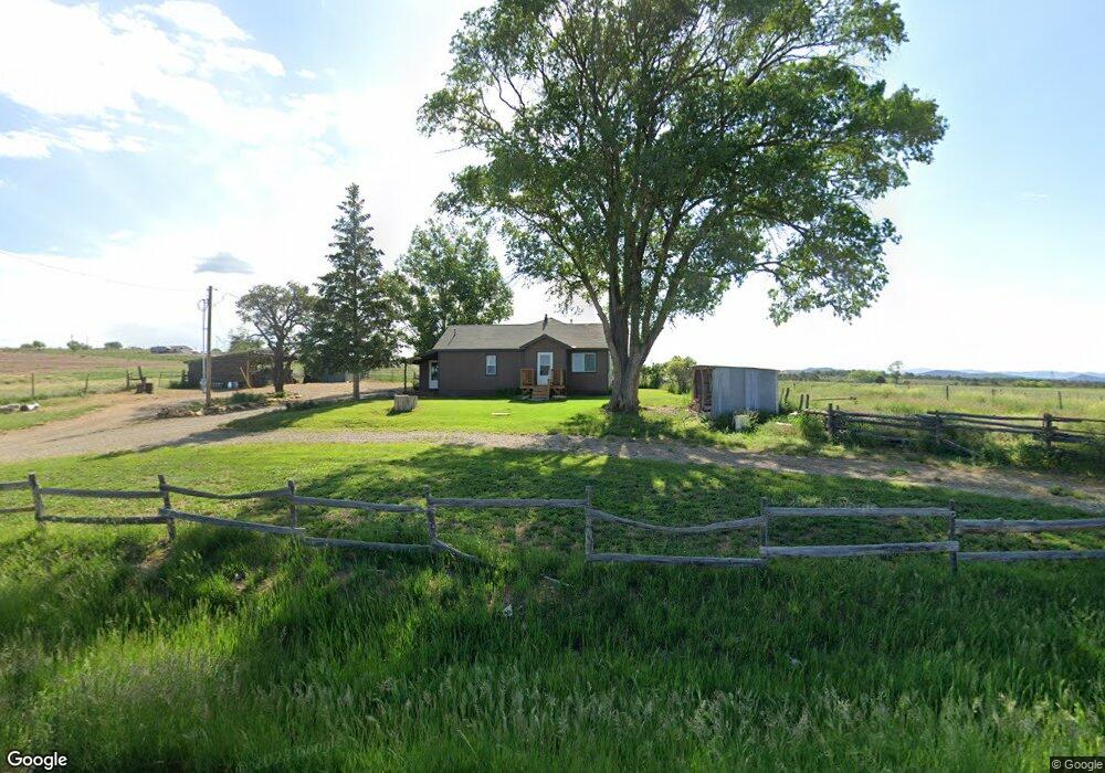
14350 Road 31 Mancos, CO 81328
Estimated Value: $360,848 - $427,000
--
Bed
2
Baths
1,224
Sq Ft
$334/Sq Ft
Est. Value
About This Home
This home is located at 14350 Road 31, Mancos, CO 81328 and is currently estimated at $409,212, approximately $334 per square foot. 14350 Road 31 is a home located in Montezuma County with nearby schools including Dolores Elementary School, Dolores Middle School, and Dolores High School.
Ownership History
Date
Name
Owned For
Owner Type
Purchase Details
Closed on
Feb 25, 2013
Sold by
Anderson Steven Wayne
Bought by
Purkat Joseph M and Purkat Shelly A
Current Estimated Value
Home Financials for this Owner
Home Financials are based on the most recent Mortgage that was taken out on this home.
Original Mortgage
$167,500
Outstanding Balance
$117,609
Interest Rate
3.43%
Mortgage Type
Seller Take Back
Estimated Equity
$291,603
Purchase Details
Closed on
Feb 9, 1995
Sold by
Medina Ray and Medina Angie
Bought by
Anderson Steven Wayne
Create a Home Valuation Report for This Property
The Home Valuation Report is an in-depth analysis detailing your home's value as well as a comparison with similar homes in the area
Home Values in the Area
Average Home Value in this Area
Purchase History
| Date | Buyer | Sale Price | Title Company |
|---|---|---|---|
| Purkat Joseph M | $170,000 | Colodaro Land Title Co | |
| Anderson Steven Wayne | $123,200 | -- |
Source: Public Records
Mortgage History
| Date | Status | Borrower | Loan Amount |
|---|---|---|---|
| Open | Purkat Joseph M | $167,500 |
Source: Public Records
Tax History Compared to Growth
Tax History
| Year | Tax Paid | Tax Assessment Tax Assessment Total Assessment is a certain percentage of the fair market value that is determined by local assessors to be the total taxable value of land and additions on the property. | Land | Improvement |
|---|---|---|---|---|
| 2024 | $1,213 | $49,597 | $916 | $48,681 |
| 2023 | $1,213 | $65,547 | $916 | $64,631 |
| 2022 | $946 | $46,016 | $1,967 | $44,049 |
| 2021 | $984 | $46,016 | $1,967 | $44,049 |
| 2020 | $765 | $39,562 | $1,916 | $37,646 |
| 2019 | $724 | $39,562 | $1,916 | $37,646 |
| 2018 | $708 | $10,900 | $3,080 | $7,820 |
| 2017 | $703 | $10,900 | $3,080 | $7,820 |
| 2016 | $610 | $9,520 | $2,550 | $6,970 |
| 2015 | $609 | $105,260 | $0 | $0 |
| 2014 | $581 | $9,010 | $0 | $0 |
Source: Public Records
Map
Nearby Homes
- 30152 Road R
- TBD Road N 2 Lot 7
- 14466 Road 32.1
- 30262 County Rd S
- 31345 Colorado 184
- 30150 County Rd S
- 13393 Road 29
- 31886 Road L
- 16299 Road 30
- TBD Road S 2
- 30076 Hay Camp Mesa
- 30014 Cr S 6
- 29149 Road M 4
- 29200 Road T 5
- 27778 Road P
- 34495
- 16987 Road 28 8
- 34566 Highway 184
- 29373 Colorado 184
- 27420 Road P 2
- 14260 Road 31
- 14269 Road 31 Rd
- TBD #4 Road 31
- TBD #3 Road 31
- TBD #1 Road 31
- TBD East 40irr Road 31
- TBD East 38AC Road 31
- 13235 Road 31
- 14456 Road 31
- 0 Rd 31
- 14460 Rd 31
- 14195 Road 31
- 14460 Road 31
- 0 Road 31
- TBD 31 Rd
- 0 Road 31 Unit LOT 3 LONE CONE RANC
- 0 Road 31
- TBD Road 31
- 14043 Road 31
- 14813 Road 31