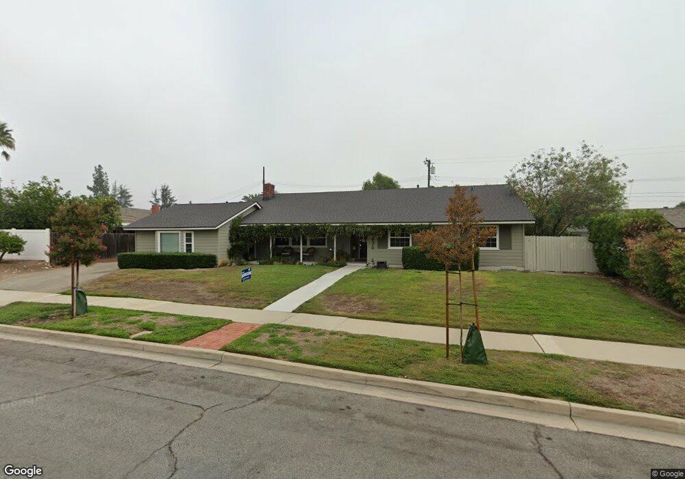
1436 Niagara Ave Claremont, CA 91711
Condit NeighborhoodEstimated Value: $1,115,370 - $1,241,000
5
Beds
3
Baths
2,496
Sq Ft
$470/Sq Ft
Est. Value
About This Home
This home is located at 1436 Niagara Ave, Claremont, CA 91711 and is currently estimated at $1,173,593, approximately $470 per square foot. 1436 Niagara Ave is a home located in Los Angeles County with nearby schools including Condit Elementary School, El Roble Intermediate School, and Claremont High School.
Ownership History
Date
Name
Owned For
Owner Type
Purchase Details
Closed on
Mar 18, 1994
Sold by
Emc Mtg Corp
Bought by
Broderick Richard S and Broderick Edda T
Current Estimated Value
Home Financials for this Owner
Home Financials are based on the most recent Mortgage that was taken out on this home.
Original Mortgage
$193,500
Interest Rate
5.12%
Purchase Details
Closed on
Oct 14, 1993
Sold by
Serrano Reconveyance Company
Bought by
Emc Mtg Corp
Create a Home Valuation Report for This Property
The Home Valuation Report is an in-depth analysis detailing your home's value as well as a comparison with similar homes in the area
Home Values in the Area
Average Home Value in this Area
Purchase History
| Date | Buyer | Sale Price | Title Company |
|---|---|---|---|
| Broderick Richard S | $215,000 | Gateway Title Company | |
| Emc Mtg Corp | $215,100 | Investors Title Company |
Source: Public Records
Mortgage History
| Date | Status | Borrower | Loan Amount |
|---|---|---|---|
| Closed | Broderick Richard S | $193,500 |
Source: Public Records
Tax History
| Year | Tax Paid | Tax Assessment Tax Assessment Total Assessment is a certain percentage of the fair market value that is determined by local assessors to be the total taxable value of land and additions on the property. | Land | Improvement |
|---|---|---|---|---|
| 2025 | $5,019 | $365,395 | $136,466 | $228,929 |
| 2024 | $5,019 | $358,232 | $133,791 | $224,441 |
| 2023 | $4,915 | $351,209 | $131,168 | $220,041 |
| 2022 | $4,829 | $344,324 | $128,597 | $215,727 |
| 2021 | $4,734 | $337,574 | $126,076 | $211,498 |
| 2019 | $4,528 | $327,564 | $122,338 | $205,226 |
| 2018 | $4,334 | $321,142 | $119,940 | $201,202 |
| 2016 | $4,032 | $308,674 | $115,284 | $193,390 |
| 2015 | $3,975 | $304,039 | $113,553 | $190,486 |
| 2014 | $3,951 | $298,084 | $111,329 | $186,755 |
Source: Public Records
Map
Nearby Homes
- 1404 N Mountain Ave
- 1458 N Mountain Ave
- 1050 W Foothill Blvd
- 1493 Lafayette Rd
- 1038 W Foothill Blvd
- 1050 Foothill Blvd
- 1044 W Foothill Blvd
- 1032 W Foothill Blvd Unit C
- 3657 Towne Park Cir
- 633 Purdue Dr
- 1098 Syracuse Dr
- 3621 Towne Park Cir
- 728 Richbrook Dr
- 4053 N Towne Ave
- 944 Butte St
- 207 Colby Cir
- 540 W Baughman Ave
- 754 W 9th St
- 471 Baughman Ave
- 1515 Mural Dr
- 1428 Niagara Ave
- 898 Ottawa Dr
- 1441 Ashland Ave
- 886 Ottawa Dr
- 1425 Ashland Ave
- 1433 Niagara Ave
- 1445 Niagara Ave
- 878 Ottawa Dr
- 1418 Niagara Ave
- 1421 Niagara Ave
- 1415 Ashland Ave
- 918 Ottawa Dr
- 1430 Ashland Ave
- 1410 Niagara Ave
- 889 Ottawa Dr
- 1442 Ashland Ave
- 903 Ottawa Dr
- 1415 Niagara Ave
- 1422 Ashland Ave
- 926 Richmond Dr
Your Personal Tour Guide
Ask me questions while you tour the home.