14360 Dry Creek Rd Auburn, CA 95602
Estimated Value: $403,000 - $564,000
1
Bed
2
Baths
1,200
Sq Ft
$426/Sq Ft
Est. Value
About This Home
This home is located at 14360 Dry Creek Rd, Auburn, CA 95602 and is currently estimated at $511,322, approximately $426 per square foot. 14360 Dry Creek Rd is a home located in Placer County with nearby schools including Sierra Hills Elementary School, Weimar Hills, and Colfax High School.
Ownership History
Date
Name
Owned For
Owner Type
Purchase Details
Closed on
Dec 12, 1996
Sold by
Fergus Neil D and Fergus Jane B
Bought by
Fergus Neil D and Fergus Jane B
Current Estimated Value
Purchase Details
Closed on
Jul 6, 1994
Sold by
Fergus Neil D and Fergus Jane B
Bought by
Fergus Neil D and Fergus Jane B
Home Financials for this Owner
Home Financials are based on the most recent Mortgage that was taken out on this home.
Original Mortgage
$25,000
Interest Rate
8.53%
Mortgage Type
Purchase Money Mortgage
Create a Home Valuation Report for This Property
The Home Valuation Report is an in-depth analysis detailing your home's value as well as a comparison with similar homes in the area
Home Values in the Area
Average Home Value in this Area
Purchase History
| Date | Buyer | Sale Price | Title Company |
|---|---|---|---|
| Fergus Neil D | -- | -- | |
| Fergus Neil D | -- | Sierra Valley Title Co |
Source: Public Records
Mortgage History
| Date | Status | Borrower | Loan Amount |
|---|---|---|---|
| Previous Owner | Fergus Neil D | $25,000 |
Source: Public Records
Tax History Compared to Growth
Tax History
| Year | Tax Paid | Tax Assessment Tax Assessment Total Assessment is a certain percentage of the fair market value that is determined by local assessors to be the total taxable value of land and additions on the property. | Land | Improvement |
|---|---|---|---|---|
| 2025 | $1,853 | $186,257 | $47,439 | $138,818 |
| 2023 | $1,853 | $179,027 | $45,598 | $133,429 |
| 2022 | $1,790 | $175,517 | $44,704 | $130,813 |
| 2021 | $1,750 | $172,077 | $43,828 | $128,249 |
| 2020 | $1,729 | $170,313 | $43,379 | $126,934 |
| 2019 | $1,694 | $166,975 | $42,529 | $124,446 |
| 2018 | $1,633 | $163,702 | $41,696 | $122,006 |
| 2017 | $1,603 | $160,493 | $40,879 | $119,614 |
| 2016 | $1,567 | $157,347 | $40,078 | $117,269 |
| 2015 | $1,528 | $154,984 | $39,476 | $115,508 |
| 2014 | $1,504 | $151,949 | $38,703 | $113,246 |
Source: Public Records
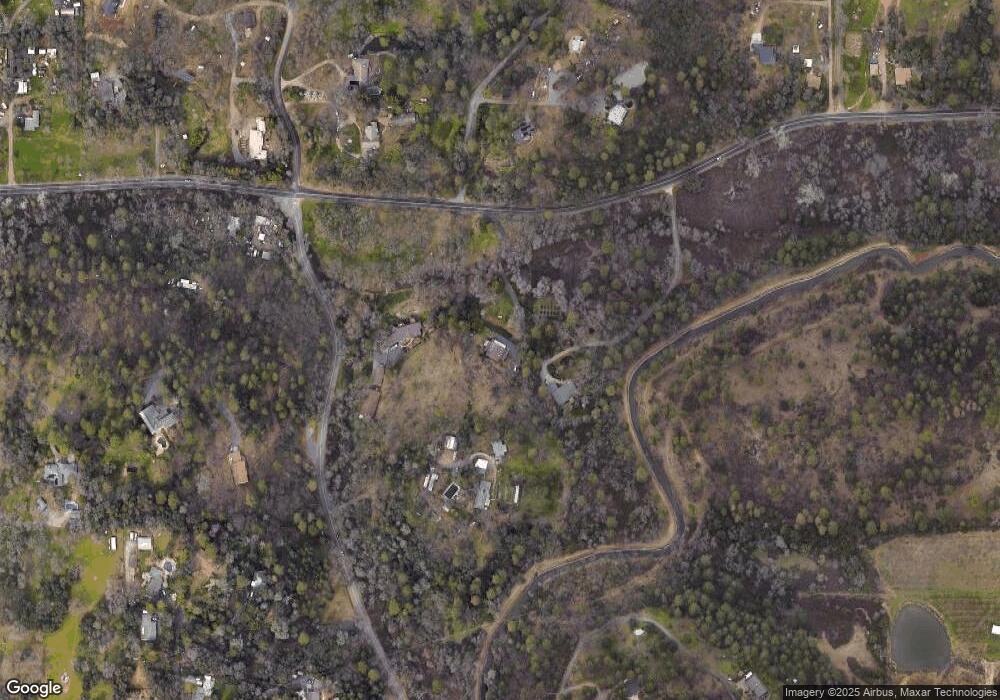
Map
Nearby Homes
- 1475 Shadow Mountain Ct
- 5250 Morningside Ave
- 12446 Shadow Brook Ct
- 0 Old Airport Rd Unit 225114571
- 1365 Shadow Rock Dr
- 2050 Black Oak Rd
- 0 Richards Ln Unit 225114570
- 1111 Scenic Pine Dr
- 1001 Old Airport Rd
- 833 Arrowhead Ln
- 15395 Lake Arthur Rd
- 371 Channel Hill Rd
- 2790 Black Oak Rd
- 17045 Winchester Club Dr
- 3022 Red Deer Ct
- 17107 Winchester Club Dr
- 15288 William Dr
- 15391 Pear Valley Ln
- 12925 Mott Ct
- 209 Channel Hill Rd
- 14380 Dry Creek Rd
- 900 Haines Rd
- 820 Haines Rd
- 960 Meadow Oaks Dr
- 966 Meadow Oaks Dr
- 825 Haines Rd
- 970 Meadow Oaks Dr
- 1080 Squirrel Creek Place
- 1055 Squirrel Creek Place
- 740 Haines Rd
- 831 Haines Rd
- 760 Haines Ct
- 14080 Carriage Oaks Ln
- 725 Haines Ct
- 755 Haines Ct
- 981 Meadow Oaks Dr
- 770 Haines Ct
- 821 Reed Ln
- 1150 Squirrel Creek Place
- 14155 Carriage Oaks Ln