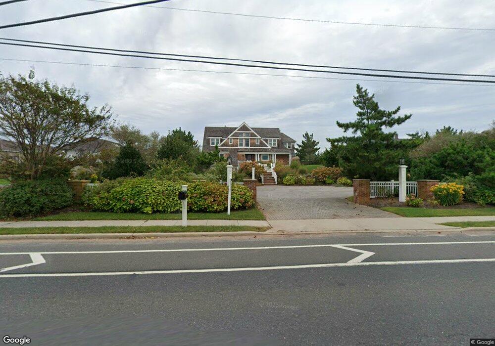
1437 Ocean Ave Mantoloking, NJ 08738
Estimated Value: $5,942,000 - $8,115,000
7
Beds
8
Baths
6,455
Sq Ft
$1,107/Sq Ft
Est. Value
About This Home
This home is located at 1437 Ocean Ave, Mantoloking, NJ 08738 and is currently estimated at $7,145,544, approximately $1,106 per square foot. 1437 Ocean Ave is a home located in Ocean County with nearby schools including G Harold Antrim Elementary School, Point Pleasant Beach High School, and St. Peter School.
Ownership History
Date
Name
Owned For
Owner Type
Purchase Details
Closed on
Sep 25, 2020
Sold by
Mcauley Brian D and Mcauley Jane K
Bought by
Blue Light Management Llc
Current Estimated Value
Home Financials for this Owner
Home Financials are based on the most recent Mortgage that was taken out on this home.
Original Mortgage
$3,350,000
Outstanding Balance
$2,971,479
Interest Rate
2.75%
Mortgage Type
New Conventional
Estimated Equity
$4,174,065
Purchase Details
Closed on
Jul 20, 1992
Bought by
Mcauley Brian D and Mcauley Jane K
Create a Home Valuation Report for This Property
The Home Valuation Report is an in-depth analysis detailing your home's value as well as a comparison with similar homes in the area
Home Values in the Area
Average Home Value in this Area
Purchase History
| Date | Buyer | Sale Price | Title Company |
|---|---|---|---|
| Blue Light Management Llc | $5,150,000 | Acres Land Title Agency Inc | |
| Mcauley Brian D | $975,000 | -- |
Source: Public Records
Mortgage History
| Date | Status | Borrower | Loan Amount |
|---|---|---|---|
| Open | Blue Light Management Llc | $3,350,000 |
Source: Public Records
Tax History Compared to Growth
Tax History
| Year | Tax Paid | Tax Assessment Tax Assessment Total Assessment is a certain percentage of the fair market value that is determined by local assessors to be the total taxable value of land and additions on the property. | Land | Improvement |
|---|---|---|---|---|
| 2025 | $41,185 | $4,800,100 | $3,029,400 | $1,770,700 |
| 2024 | $39,169 | $4,800,100 | $3,029,400 | $1,770,700 |
| 2023 | $33,601 | $4,800,100 | $3,029,400 | $1,770,700 |
| 2022 | $33,601 | $4,800,100 | $3,029,400 | $1,770,700 |
| 2021 | $33,770 | $4,800,100 | $3,029,400 | $1,770,700 |
| 2020 | $34,177 | $4,800,100 | $3,029,400 | $1,770,700 |
| 2019 | $33,697 | $4,800,100 | $3,029,400 | $1,770,700 |
| 2018 | $33,217 | $4,800,100 | $3,029,400 | $1,770,700 |
| 2017 | $33,457 | $4,800,100 | $3,029,400 | $1,770,700 |
| 2016 | $31,715 | $4,569,900 | $3,029,400 | $1,540,500 |
| 2015 | $31,212 | $4,569,900 | $3,029,400 | $1,540,500 |
| 2014 | $28,653 | $4,569,900 | $3,029,400 | $1,540,500 |
Source: Public Records
Map
Nearby Homes
- 1519 Runyon Ln
- 1318 Ocean Ave
- 122 Squan Beach Dr
- 150 Sunset Ln
- 233 Curtis Point Dr
- 1207 Ocean Ave
- 1201 Ocean Ave
- 275 Curtis Point Dr
- 304 Schooner Ln
- 1097 Barnegat Ln
- 308 Cove Dr
- 1063 Ocean Ave
- 366 Highway 35 N
- 1027 Ocean Ave
- 982 Barnegat Ln
- 438 Highway 35 N Unit 1304
- 978 East Ave
- 12 Shell Rd
- 954 Barnegat Ln
- 21 Scoop Rd
- 1433 Ocean Ave
- 1501 Ocean Ave
- 1431 Ocean Ave
- 1505 Ocean Ave
- 1425 Ocean Ave
- 200 Albertson St
- 1432 Ocean Ave
- 1513 Ocean Ave
- 1502 Ocean Ave
- 1430 Ocean Ave
- 1421 Ocean Ave
- 1504 Ocean Ave
- 1424 Ocean Ave
- 1510 Ocean Ave
- 1417 Ocean Ave
- 1420 Ocean Ave
- 1517 Ocean Ave
- 1513 Runyon Ln
- 208 Albertson St
- 204 Albertson St