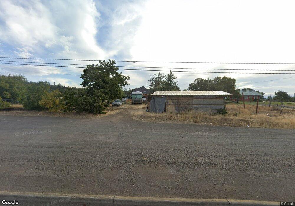
14370 Highway 62 Eagle Point, OR 97524
Estimated Value: $664,103 - $892,000
4
Beds
3
Baths
3,400
Sq Ft
$222/Sq Ft
Est. Value
About This Home
This home is located at 14370 Highway 62, Eagle Point, OR 97524 and is currently estimated at $755,034, approximately $222 per square foot. 14370 Highway 62 is a home located in Jackson County with nearby schools including Eagle Rock Elementary School, Eagle Point Middle School, and White Mountain Middle School.
Ownership History
Date
Name
Owned For
Owner Type
Purchase Details
Closed on
Sep 9, 2022
Sold by
Curtis Michael P
Bought by
Estremado Jarret and Estremado Crystal
Current Estimated Value
Purchase Details
Closed on
Jan 20, 1999
Sold by
Curtis Morris O and Curtis Ruth L
Bought by
Curtis Michael P
Home Financials for this Owner
Home Financials are based on the most recent Mortgage that was taken out on this home.
Original Mortgage
$118,500
Interest Rate
6.63%
Create a Home Valuation Report for This Property
The Home Valuation Report is an in-depth analysis detailing your home's value as well as a comparison with similar homes in the area
Home Values in the Area
Average Home Value in this Area
Purchase History
| Date | Buyer | Sale Price | Title Company |
|---|---|---|---|
| Estremado Jarret | $695,000 | -- | |
| Curtis Michael P | -- | Key Title Company |
Source: Public Records
Mortgage History
| Date | Status | Borrower | Loan Amount |
|---|---|---|---|
| Previous Owner | Curtis Michael P | $118,500 |
Source: Public Records
Tax History Compared to Growth
Tax History
| Year | Tax Paid | Tax Assessment Tax Assessment Total Assessment is a certain percentage of the fair market value that is determined by local assessors to be the total taxable value of land and additions on the property. | Land | Improvement |
|---|---|---|---|---|
| 2025 | $4,525 | $394,680 | $97,130 | $297,550 |
| 2024 | $4,525 | $383,190 | $171,750 | $211,440 |
| 2023 | $4,369 | $372,030 | $166,750 | $205,280 |
| 2022 | $4,253 | $372,030 | $166,750 | $205,280 |
| 2021 | $4,129 | $361,200 | $161,890 | $199,310 |
| 2020 | $4,461 | $350,680 | $157,180 | $193,500 |
| 2019 | $4,405 | $330,560 | $148,140 | $182,420 |
| 2018 | $4,305 | $320,940 | $143,820 | $177,120 |
| 2017 | $4,202 | $320,940 | $143,820 | $177,120 |
| 2016 | $4,093 | $302,530 | $135,570 | $166,960 |
| 2015 | $3,887 | $302,530 | $135,570 | $166,960 |
| 2014 | $3,672 | $285,170 | $127,780 | $157,390 |
Source: Public Records
Map
Nearby Homes
- 15050 Hwy 62
- 1510 Ball Rd
- 14145 Agate Rd
- 800 Hillandale Cir
- 1305 Butte Falls Hwy
- 2795 Ball Rd
- 1560 Brentwood Dr
- 417 E Rolling Hills Dr
- 151 Hammel Rd
- 712 Nottingham Terrace
- 700 Nottingham Terrace
- 655 W Rolling Hills
- 739 W Rolling Hills Dr
- 1100 W Rolling Hills Dr
- 686 Sheffield Dr
- 628 Barton Rd
- 990 Win Way
- 507 Sienna Hills Dr
- 4 Meadowfield Cir
- 1881 Brophy Rd
- 14356 Oregon 62
- 14378 Oregon 62
- 14378 Crater Lake Hwy
- 14356 Highway 62
- 14406 Oregon 62
- 14420 Oregon 62
- 14380 Highway 62
- 81 Ball Rd
- 14461 Highway 62
- 14411 Highway 62
- 14440 Highway 62
- 14440 Highway 62
- 171 Ball Rd
- 124 Ball Rd
- 190 Ball Rd
- 14328 Highway 62
- 265 Ball Rd
- 14600 Highway 62
- 84 Mountain View Dr
- 14040 Highway 62