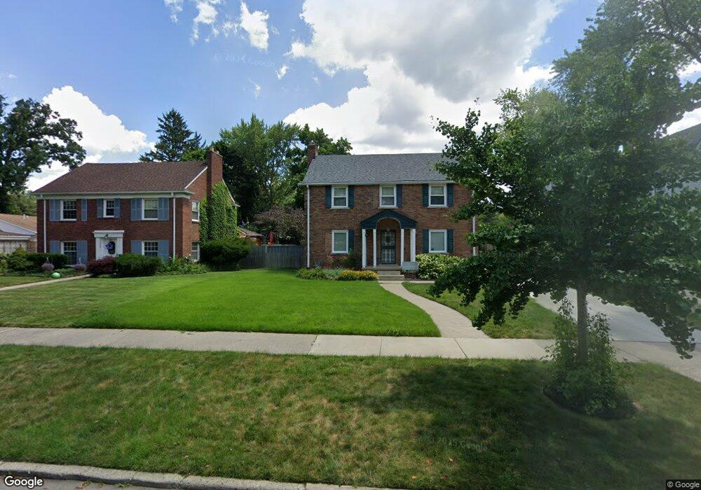
14376 Rutland St Detroit, MI 48227
Grandmont NeighborhoodEstimated Value: $176,000 - $277,000
3
Beds
2
Baths
1,500
Sq Ft
$158/Sq Ft
Est. Value
About This Home
This home is located at 14376 Rutland St, Detroit, MI 48227 and is currently estimated at $236,744, approximately $157 per square foot. 14376 Rutland St is a home located in Wayne County with nearby schools including Edison Elementary School, Burns Elementary/Middle School, and Charles L. Spain Elementary-Middle School.
Ownership History
Date
Name
Owned For
Owner Type
Purchase Details
Closed on
Apr 28, 2009
Sold by
Bank Of America National Association
Bought by
Brooks Beverly D
Current Estimated Value
Purchase Details
Closed on
Apr 12, 2007
Sold by
Griffith Perry
Bought by
Lasalle Bank Na and Structured Asset Investment Loan Trust S
Purchase Details
Closed on
Nov 3, 2004
Sold by
Brewer Lester J and Brewer Sheila
Bought by
Griffith Perry
Purchase Details
Closed on
Jul 1, 2003
Sold by
Edwards Ive C and Brewer Brenda
Bought by
Brewer Lester J
Create a Home Valuation Report for This Property
The Home Valuation Report is an in-depth analysis detailing your home's value as well as a comparison with similar homes in the area
Home Values in the Area
Average Home Value in this Area
Purchase History
| Date | Buyer | Sale Price | Title Company |
|---|---|---|---|
| Brooks Beverly D | $30,000 | Rels Title | |
| Lasalle Bank Na | $119,700 | None Available | |
| Griffith Perry | $217,900 | Multiple | |
| Brewer Lester J | -- | -- |
Source: Public Records
Tax History Compared to Growth
Tax History
| Year | Tax Paid | Tax Assessment Tax Assessment Total Assessment is a certain percentage of the fair market value that is determined by local assessors to be the total taxable value of land and additions on the property. | Land | Improvement |
|---|---|---|---|---|
| 2025 | $1,961 | $135,600 | $0 | $0 |
| 2024 | $1,961 | $115,000 | $0 | $0 |
| 2023 | $1,073 | $46,000 | $0 | $0 |
| 2022 | $2,752 | $73,300 | $0 | $0 |
| 2021 | $2,567 | $50,300 | $0 | $0 |
| 2020 | $3,336 | $42,800 | $0 | $0 |
| 2019 | $177 | $2,300 | $0 | $0 |
| 2018 | $115 | $2,500 | $0 | $0 |
| 2017 | $36 | $2,500 | $0 | $0 |
| 2016 | $134 | $1,900 | $0 | $0 |
| 2015 | $190 | $1,900 | $0 | $0 |
| 2013 | $188 | $1,876 | $0 | $0 |
| 2010 | -- | $1,876 | $1,876 | $0 |
Source: Public Records
Map
Nearby Homes
- 14364 Rutland St
- 14500 Rutland St
- 14529 Grandmont Ave
- 14505 Woodmont Ave
- 14303 Archdale St
- 14402 Southfield Rd
- 14385 Asbury Park
- 14613 Rutland St
- 14554 Woodmont Ave
- 14047 Longacre St
- 14630 Southfield Fwy
- 14511 Mettetal St
- 14500 Mettetal St
- 14434 Rosemont Ave
- 14535 Ashton Rd
- 14615 Mettetal St
- 14006 Southfield Fwy
- 13994 Woodmont Ave
- 13936 Longacre St
- 14593 Ashton Rd
- 14376 Rutland St
- 14388 Rutland St
- 14389 Abington Ave
- 14365 Abington Ave
- 14350 Rutland St
- 14400 Rutland St
- 14377 Abington Ave
- 14355 Abington Ave
- 14401 Abington Ave
- 14341 Abington Ave
- 14377 Rutland St
- 14340 Rutland St
- 14391 Rutland St
- 14424 Rutland St
- 14351 Rutland St
- 14401 Rutland St
- 14415 Rutland St
- 14425 Abington Ave
- 14329 Abington Ave
- 14317 Abington Ave