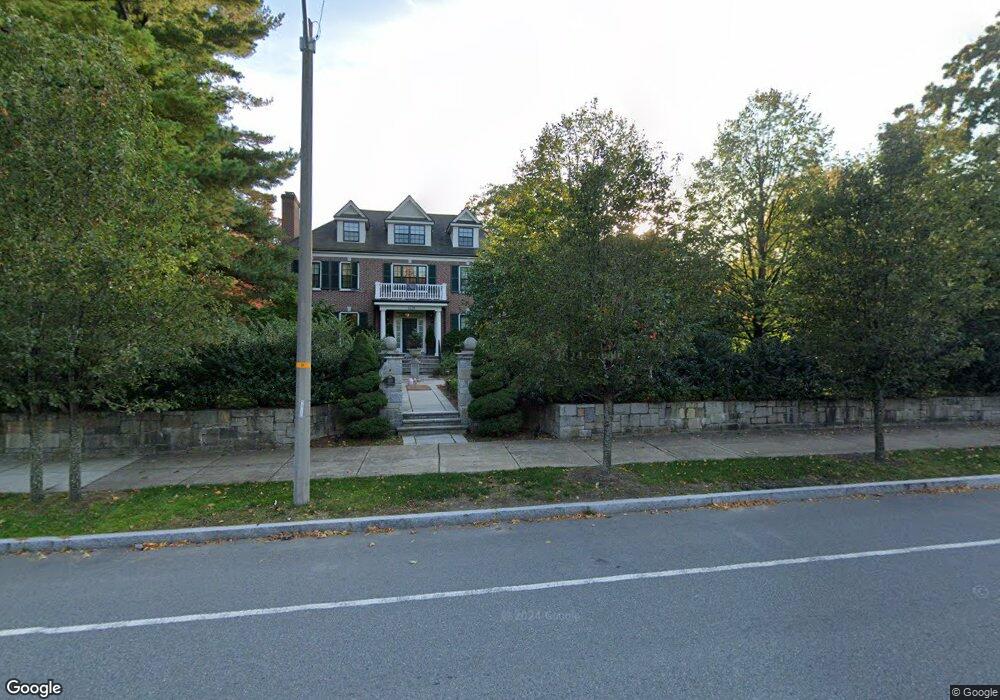
1438 Commonwealth Ave West Newton, MA 02465
West Newton NeighborhoodEstimated Value: $5,126,714 - $6,562,000
5
Beds
8
Baths
8,734
Sq Ft
$649/Sq Ft
Est. Value
About This Home
This home is located at 1438 Commonwealth Ave, West Newton, MA 02465 and is currently estimated at $5,664,929, approximately $648 per square foot. 1438 Commonwealth Ave is a home located in Middlesex County with nearby schools including Peirce Elementary School, F.A. Day Middle School, and Newton North High School.
Ownership History
Date
Name
Owned For
Owner Type
Purchase Details
Closed on
Oct 17, 2018
Sold by
Roscini Dante and Roscini Paola
Bought by
Paola Roscini Ret
Current Estimated Value
Purchase Details
Closed on
Apr 30, 2018
Sold by
Roscini Dante and Parretta-Roscini Paola
Bought by
Roscini Dante and Parretta-Roscini Paola
Purchase Details
Closed on
Oct 5, 2009
Sold by
1438 Mass Comm Of T and Romm Lev
Bought by
Roscini Dante and Roscini Paola Parretta
Purchase Details
Closed on
Aug 27, 2007
Sold by
Poster Anne T and Poster Mark F
Bought by
1438 Masscomm Of T and Romm Lev
Create a Home Valuation Report for This Property
The Home Valuation Report is an in-depth analysis detailing your home's value as well as a comparison with similar homes in the area
Home Values in the Area
Average Home Value in this Area
Purchase History
| Date | Buyer | Sale Price | Title Company |
|---|---|---|---|
| Paola Roscini Ret | -- | -- | |
| Roscini Dante | -- | -- | |
| Roscini Dante | $3,000,000 | -- | |
| 1438 Masscomm Of T | $1,050,000 | -- |
Source: Public Records
Tax History Compared to Growth
Tax History
| Year | Tax Paid | Tax Assessment Tax Assessment Total Assessment is a certain percentage of the fair market value that is determined by local assessors to be the total taxable value of land and additions on the property. | Land | Improvement |
|---|---|---|---|---|
| 2025 | $50,914 | $5,195,300 | $1,192,800 | $4,002,500 |
| 2024 | $49,229 | $5,044,000 | $1,158,100 | $3,885,900 |
| 2023 | $48,114 | $4,726,300 | $907,600 | $3,818,700 |
| 2022 | $46,038 | $4,376,200 | $840,400 | $3,535,800 |
| 2021 | $44,423 | $4,128,500 | $792,800 | $3,335,700 |
| 2020 | $43,102 | $4,128,500 | $792,800 | $3,335,700 |
| 2019 | $41,887 | $4,008,300 | $769,700 | $3,238,600 |
| 2018 | $40,836 | $3,774,100 | $676,200 | $3,097,900 |
| 2017 | $39,593 | $3,560,500 | $637,900 | $2,922,600 |
| 2016 | $37,868 | $3,327,600 | $596,200 | $2,731,400 |
| 2015 | $36,106 | $3,109,900 | $557,200 | $2,552,700 |
Source: Public Records
Map
Nearby Homes
- 1428 Commonwealth Ave
- 80 Dartmouth St
- 69 Dartmouth St
- 63 Dartmouth St
- 75 Dartmouth St
- 1418 Commonwealth Ave
- 157 Fuller St
- 169 Fuller St
- 85 Dartmouth St
- 1445 Commonwealth Ave
- 1466 Commonwealth Ave
- 1429 Commonwealth Ave
- 93 Dartmouth St
- 145 Fuller St
- 35 Dartmouth St
- 1408 Commonwealth Ave Unit 1
- 1408 Commonwealth Ave
- 1408 Commonwealth Ave Unit 10
- 1408 Commonwealth Ave Unit 17
- 1408 Commonwealth Ave Unit 9