Estimated Value: $328,000 - $384,000
4
Beds
3
Baths
2,608
Sq Ft
$139/Sq Ft
Est. Value
About This Home
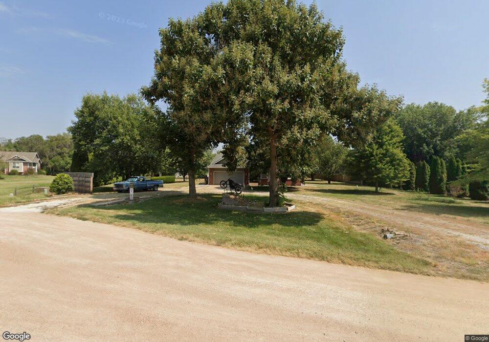
This home is located at 1438 N Tomahawk Rd, Peck, KS 67120 and is currently estimated at $363,325, approximately $139 per square foot. 1438 N Tomahawk Rd is a home located in Sumner County with nearby schools including Munson Primary School, Mulvane Grade School, and Mulvane Middle School.
Ownership History
Date
Name
Owned For
Owner Type
Purchase Details
Closed on
May 28, 2010
Sold by
Dixson Larry D and Dixson Carrie L
Bought by
Bliss Wade E
Current Estimated Value
Home Financials for this Owner
Home Financials are based on the most recent Mortgage that was taken out on this home.
Original Mortgage
$160,951
Interest Rate
5.25%
Mortgage Type
FHA
Create a Home Valuation Report for This Property
The Home Valuation Report is an in-depth analysis detailing your home's value as well as a comparison with similar homes in the area
Home Values in the Area
Average Home Value in this Area
Purchase History
| Date | Buyer | Sale Price | Title Company |
|---|---|---|---|
| Bliss Wade E | -- | -- |
Source: Public Records
Mortgage History
| Date | Status | Borrower | Loan Amount |
|---|---|---|---|
| Open | Bliss Wade E | $157,410 | |
| Closed | Bliss Wade E | $160,951 | |
| Previous Owner | Bliss Wade E | $37,228 |
Source: Public Records
Tax History Compared to Growth
Tax History
| Year | Tax Paid | Tax Assessment Tax Assessment Total Assessment is a certain percentage of the fair market value that is determined by local assessors to be the total taxable value of land and additions on the property. | Land | Improvement |
|---|---|---|---|---|
| 2025 | $4,539 | $39,139 | $7,398 | $31,741 |
| 2024 | $4,539 | $34,290 | $5,857 | $28,433 |
| 2023 | $4,116 | $31,172 | $3,151 | $28,021 |
| 2022 | $3,490 | $25,794 | $2,916 | $22,878 |
| 2021 | $3,304 | $23,932 | $2,752 | $21,180 |
| 2020 | $3,183 | $23,115 | $2,846 | $20,269 |
| 2019 | $3,144 | $21,965 | $1,946 | $20,019 |
| 2018 | $2,813 | $21,919 | $2,087 | $19,832 |
| 2017 | $2,456 | $18,687 | $2,087 | $16,600 |
| 2016 | $2,475 | $18,687 | $1,811 | $16,876 |
| 2015 | -- | $18,687 | $1,811 | $16,876 |
| 2014 | -- | $23,207 | $1,587 | $21,620 |
Source: Public Records
Map
Nearby Homes
- 00 E 119th St
- 1357 N Morningview
- 00000 E 139th Ave N
- 1066 E 130th Ave N
- 10475 S Hillside St
- 11145 Anthony Ln
- 9735 S Laura St
- 911 N 1st Ave
- 608 N 1st Ave
- 704 E Gordon Bennett Dr
- 203 W Bridge St
- 9160 S Broadway Ave
- 527 E Gordon Bennett Dr
- 1222 E 110th Ave N
- 1532 N Rockwood Blvd
- 516 N Luella
- 0 Lot 22 Block 1 Gordon Bennett
- 711 S Central Ave
- 10100 S Rock Rd
- 0000 E 95th St S
- 1436 N Tomahawk Rd
- 1442 N Tomahawk Rd
- 1439 N Tomahawk Rd
- 1437 N Tomahawk Rd
- 1441 N Tomahawk Rd
- 1434 N Tomahawk Rd
- 1435 N Tomahawk Rd
- 984 E 144th Ave N
- 984 E 144th Ave N Unit 985 E 144TH N
- 1433 N Fortner Rd
- 1430 N Broken Arrow Rd
- 1432 N Fortner Rd
- 1425 N Fortner Rd
- N N Broken Arrow Rd
- 1459 N Hydraulic Rd
- 1461 N Hydraulic Rd
- 994 E 144th Ave N
- 1423 N Fortner Rd
- 1426 N Fortner Rd
- 1429 N Broken Arrow Rd