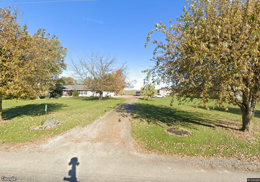
14387 Township Road 180 Kenton, OH 43326
Estimated Value: $200,000 - $241,000
3
Beds
2
Baths
1,309
Sq Ft
$171/Sq Ft
Est. Value
About This Home
This home is located at 14387 Township Road 180, Kenton, OH 43326 and is currently estimated at $224,249, approximately $171 per square foot. 14387 Township Road 180 is a home located in Hardin County with nearby schools including Kenton Elementary School, Kenton Middle School, and Kenton High School.
Ownership History
Date
Name
Owned For
Owner Type
Purchase Details
Closed on
Aug 7, 2025
Sold by
Turner Jeffrey L and Turner Dortha K
Bought by
J & D Turner Farms Llc
Current Estimated Value
Purchase Details
Closed on
Mar 20, 2025
Sold by
Turner Jeffrey L and Turner Dortha K
Bought by
Turner Andrew L
Purchase Details
Closed on
Jul 7, 1997
Bought by
Turner Dortha K and Turner Jeffer
Create a Home Valuation Report for This Property
The Home Valuation Report is an in-depth analysis detailing your home's value as well as a comparison with similar homes in the area
Home Values in the Area
Average Home Value in this Area
Purchase History
| Date | Buyer | Sale Price | Title Company |
|---|---|---|---|
| J & D Turner Farms Llc | -- | None Listed On Document | |
| J & D Turner Farms Llc | -- | None Listed On Document | |
| Turner Jeffrey L | -- | None Listed On Document | |
| Turner Jeffrey L | -- | None Listed On Document | |
| Turner Andrew L | -- | None Listed On Document | |
| Turner Dortha K | -- | -- |
Source: Public Records
Tax History Compared to Growth
Tax History
| Year | Tax Paid | Tax Assessment Tax Assessment Total Assessment is a certain percentage of the fair market value that is determined by local assessors to be the total taxable value of land and additions on the property. | Land | Improvement |
|---|---|---|---|---|
| 2024 | $2,246 | $52,080 | $10,850 | $41,230 |
| 2023 | $2,246 | $52,080 | $10,850 | $41,230 |
| 2022 | $2,042 | $44,180 | $7,770 | $36,410 |
| 2021 | $1,965 | $42,350 | $7,770 | $34,580 |
| 2020 | $1,704 | $42,350 | $7,770 | $34,580 |
| 2019 | $1,414 | $36,490 | $7,560 | $28,930 |
| 2018 | $1,418 | $36,490 | $7,560 | $28,930 |
| 2017 | $1,306 | $36,490 | $7,560 | $28,930 |
| 2016 | $1,216 | $33,370 | $7,040 | $26,330 |
| 2015 | $1,190 | $33,370 | $7,040 | $26,330 |
| 2014 | $1,214 | $33,370 | $7,040 | $26,330 |
| 2013 | $1,207 | $31,660 | $7,040 | $24,620 |
Source: Public Records
Map
Nearby Homes
- 13450 State Route 292
- 320 Letson Ave
- 727 S Detroit St
- 11279 Township Road 180
- 639 S Main St
- 414 Robinson Ave
- 920 Cooper St
- 508 Decatur St
- 510 Decatur St
- 115 Scioto St
- 726 Tracy St
- 121 S High St
- 530 E Franklin St
- 513 E Franklin St
- 702 W Franklin St Unit 702 1/2
- 39 Grape St
- 0 Ohio 309
- 723 W Lima St Unit 66
- 723 W Lima St Unit 1
- 79 Broadway St
- 14315 Township Road 180
- 15506 County Road 155
- 15619 County Road 155
- 15099 County Road 155
- 14970 County Road 155
- 15519 County Road 155
- 15034 Township Road 180
- 14890 County Road 155
- 16104 County Road 155
- 13622 Township Rd
- 13622 Township Road 180
- 13632 Township Road 180
- 16108 County Road 155
- 14644 County Road 155
- 15201 State Route 292
- 15201 State Route 292
- 15248 State Route 292
- 15757 State Route 292
- 14931 State Route 292
- 15476 State Route 292