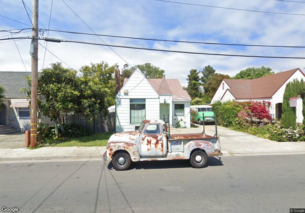
1439 Brookside Dr San Pablo, CA 94806
Estimated Value: $458,000 - $617,000
2
Beds
1
Bath
1,000
Sq Ft
$529/Sq Ft
Est. Value
About This Home
This home is located at 1439 Brookside Dr, San Pablo, CA 94806 and is currently estimated at $528,880, approximately $528 per square foot. 1439 Brookside Dr is a home located in Contra Costa County with nearby schools including Lake Elementary School, Walter T. Helms Middle School, and Richmond High School.
Ownership History
Date
Name
Owned For
Owner Type
Purchase Details
Closed on
Aug 8, 2000
Sold by
Mcnair Wilma D
Bought by
Gutierrez Robert C
Current Estimated Value
Home Financials for this Owner
Home Financials are based on the most recent Mortgage that was taken out on this home.
Original Mortgage
$92,500
Outstanding Balance
$33,374
Interest Rate
8.15%
Mortgage Type
Purchase Money Mortgage
Estimated Equity
$495,506
Create a Home Valuation Report for This Property
The Home Valuation Report is an in-depth analysis detailing your home's value as well as a comparison with similar homes in the area
Home Values in the Area
Average Home Value in this Area
Purchase History
| Date | Buyer | Sale Price | Title Company |
|---|---|---|---|
| Gutierrez Robert C | $192,500 | Chicago Title Co |
Source: Public Records
Mortgage History
| Date | Status | Borrower | Loan Amount |
|---|---|---|---|
| Open | Gutierrez Robert C | $92,500 |
Source: Public Records
Tax History
| Year | Tax Paid | Tax Assessment Tax Assessment Total Assessment is a certain percentage of the fair market value that is determined by local assessors to be the total taxable value of land and additions on the property. | Land | Improvement |
|---|---|---|---|---|
| 2025 | $4,922 | $290,042 | $180,809 | $109,233 |
| 2024 | $4,701 | $284,356 | $177,264 | $107,092 |
| 2023 | $4,701 | $278,782 | $173,789 | $104,993 |
| 2022 | $4,625 | $273,317 | $170,382 | $102,935 |
| 2021 | $4,589 | $267,959 | $167,042 | $100,917 |
| 2019 | $4,345 | $260,014 | $162,089 | $97,925 |
| 2018 | $4,169 | $254,916 | $158,911 | $96,005 |
| 2017 | $4,056 | $249,919 | $155,796 | $94,123 |
| 2016 | $3,957 | $243,000 | $151,483 | $91,517 |
| 2015 | $3,822 | $231,500 | $144,314 | $87,186 |
| 2014 | $2,998 | $167,000 | $104,105 | $62,895 |
Source: Public Records
Map
Nearby Homes
- 1780 Road 20
- 2190 Giant Rd
- 113 Westgate Cir
- 2036 Brookside Dr
- 1945 21st St
- 2600 Giant Rd Unit 37
- 1034 Trenton Blvd
- 1413 Post Ave
- 2011 Market Ave Unit 317
- 1971 23rd St
- 812 Market Ave
- 1800 Post Ave
- 2729 18th St
- 2138 Market Ave
- 110 Del Alba St
- 2796 13th St
- 1550 Rumrill Blvd
- 112 Serra Way Unit 19
- 2717 10th St
- 1723 Emeric Ave
- 1345 Brookside Dr
- 1445 Brookside Dr
- 1341 Brookside Dr
- 1511 Brookside Dr
- 1335 Brookside Dr
- 1515 Brookside Dr
- 1331 Brookside Dr
- 1551 Marelia Ct
- 1436 Brookside Dr
- 1424 Brookside Dr Unit 586
- 1424 Brookside Dr
- 1412 Brookside Dr
- 1327 Brookside Dr
- 1521 Brookside Dr
- 1510 Brookside Dr
- 1400 Brookside Dr
- 1305 Brookside Dr
- 1520 Brookside Dr
- 1501 Manor Dr
- 1433 Manor Dr
Your Personal Tour Guide
Ask me questions while you tour the home.