Estimated Value: $204,000 - $319,000
4
Beds
2
Baths
1,440
Sq Ft
$168/Sq Ft
Est. Value
About This Home
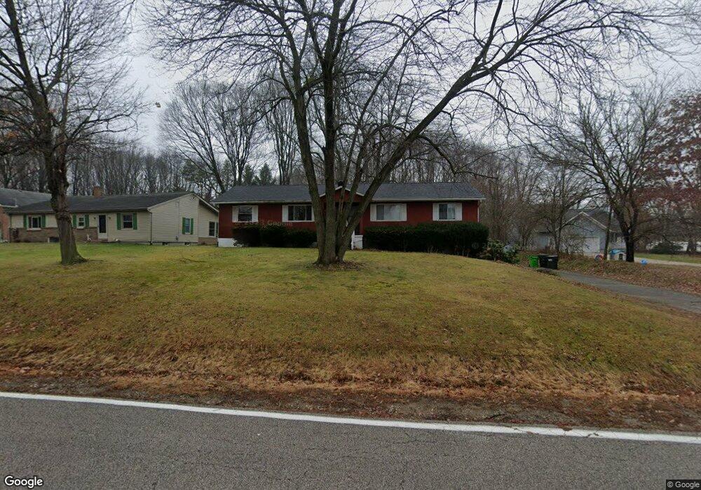
This home is located at 1439 Mac Dr, Stow, OH 44224 and is currently estimated at $241,763, approximately $167 per square foot. 1439 Mac Dr is a home located in Summit County with nearby schools including Stow-Munroe Falls High School, Primrose School of Hudson, and Holy Family Elementary School.
Ownership History
Date
Name
Owned For
Owner Type
Purchase Details
Closed on
Sep 1, 2009
Sold by
Casto James L
Bought by
1436 Mac Ltd
Current Estimated Value
Purchase Details
Closed on
Oct 12, 2007
Sold by
Shoenfelt James D
Bought by
Casto James L
Purchase Details
Closed on
Oct 23, 1998
Sold by
Weintraub Ronald and Weintraub Carol E
Bought by
Hillside Management Of Summit County Par
Create a Home Valuation Report for This Property
The Home Valuation Report is an in-depth analysis detailing your home's value as well as a comparison with similar homes in the area
Home Values in the Area
Average Home Value in this Area
Purchase History
| Date | Buyer | Sale Price | Title Company |
|---|---|---|---|
| 1436 Mac Ltd | -- | Attorney | |
| Casto James L | $294,500 | Buckeye Reserve Title Agency | |
| Hillside Management Of Summit County Par | -- | Wigley Title | |
| Weintraub Betty P | -- | Wigley Title | |
| Weintraub Ronald | -- | Wigley Title | |
| Weintraub Ronald | -- | Wigley Title |
Source: Public Records
Tax History
| Year | Tax Paid | Tax Assessment Tax Assessment Total Assessment is a certain percentage of the fair market value that is determined by local assessors to be the total taxable value of land and additions on the property. | Land | Improvement |
|---|---|---|---|---|
| 2024 | $3,245 | $55,276 | $11,498 | $43,778 |
| 2023 | $3,245 | $55,276 | $11,498 | $43,778 |
| 2022 | $2,991 | $44,941 | $9,349 | $35,592 |
| 2021 | $2,691 | $44,941 | $9,349 | $35,592 |
| 2020 | $2,647 | $44,940 | $9,350 | $35,590 |
| 2019 | $2,058 | $32,340 | $11,800 | $20,540 |
| 2018 | $2,027 | $32,340 | $11,800 | $20,540 |
| 2017 | $1,975 | $32,340 | $11,800 | $20,540 |
| 2016 | $2,004 | $30,570 | $11,800 | $18,770 |
| 2015 | $1,975 | $30,570 | $11,800 | $18,770 |
| 2014 | $1,976 | $30,570 | $11,800 | $18,770 |
| 2013 | $1,807 | $28,000 | $11,800 | $16,200 |
Source: Public Records
Map
Nearby Homes
- 0 Hibbard Dr
- 1525 Spruce Hill Dr
- 5123 Sodalite Dr
- 4623 Cox Dr
- 5091 Ridge Meadow Dr
- 1921-1929 Ritchie Rd
- 2279 Becket Cir
- 2352 Becket Cir
- V/L Housley Rd
- V/L Norton Rd
- 1953 Arndale Rd
- 5150 Bayside Lake Blvd
- 2221 Crockett Cir
- 4424 Timberdale Dr Unit 4428
- 5163 Beckett Ridge
- 1995 Weston Dr
- 2055-2059 Bryn Mawr Dr
- 2344 Echo Valley Dr
- 734 Barlow Rd
- 1969 Conwill Rd Unit 1973
Your Personal Tour Guide
Ask me questions while you tour the home.