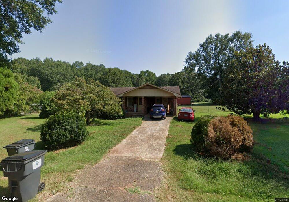
144 Cedar Rd Anderson, SC 29624
Estimated Value: $174,128 - $247,000
--
Bed
--
Bath
1,268
Sq Ft
$178/Sq Ft
Est. Value
About This Home
This home is located at 144 Cedar Rd, Anderson, SC 29624 and is currently estimated at $225,532, approximately $177 per square foot. 144 Cedar Rd is a home located in Anderson County with nearby schools including Crescent High School and Anderson Five Charter School.
Ownership History
Date
Name
Owned For
Owner Type
Purchase Details
Closed on
Sep 30, 2022
Sold by
Simmons Susanne W
Bought by
Calwise Krystle J and Calwise Reid
Current Estimated Value
Home Financials for this Owner
Home Financials are based on the most recent Mortgage that was taken out on this home.
Original Mortgage
$173,794
Outstanding Balance
$166,115
Interest Rate
5.13%
Mortgage Type
FHA
Estimated Equity
$59,417
Purchase Details
Closed on
Jun 26, 2020
Sold by
Simmons Iris Susanne and Estate Of Dennis B Simmons
Bought by
Simmons Iris Susanne
Create a Home Valuation Report for This Property
The Home Valuation Report is an in-depth analysis detailing your home's value as well as a comparison with similar homes in the area
Home Values in the Area
Average Home Value in this Area
Purchase History
| Date | Buyer | Sale Price | Title Company |
|---|---|---|---|
| Calwise Krystle J | $177,000 | -- | |
| Simmons Iris Susanne | -- | None Available |
Source: Public Records
Mortgage History
| Date | Status | Borrower | Loan Amount |
|---|---|---|---|
| Open | Calwise Krystle J | $173,794 |
Source: Public Records
Tax History Compared to Growth
Tax History
| Year | Tax Paid | Tax Assessment Tax Assessment Total Assessment is a certain percentage of the fair market value that is determined by local assessors to be the total taxable value of land and additions on the property. | Land | Improvement |
|---|---|---|---|---|
| 2024 | $3,790 | $10,680 | $570 | $10,110 |
| 2023 | $3,777 | $10,680 | $570 | $10,110 |
| 2022 | $1,488 | $4,330 | $570 | $3,760 |
| 2021 | $1,308 | $3,690 | $360 | $3,330 |
| 2020 | $1,302 | $3,690 | $360 | $3,330 |
| 2019 | $104 | $2,460 | $240 | $2,220 |
| 2018 | $104 | $2,460 | $240 | $2,220 |
| 2017 | -- | $2,460 | $240 | $2,220 |
| 2016 | $108 | $2,490 | $240 | $2,250 |
| 2015 | $110 | $2,490 | $240 | $2,250 |
| 2014 | $112 | $2,490 | $240 | $2,250 |
Source: Public Records
Map
Nearby Homes
- 133 Cedar Rd
- 216 Cloverhill Dr
- 231 Cloverhill Dr
- 144 Cloverhill Dr
- ESSEX Plan at Creekside
- DUPONT Plan at Creekside
- 1123 Airline Rd
- Lot 4C Kaye Dr
- 114 George Edward Dr
- 120 George Edward Dr
- 122 George Edward Dr
- 00 Clinkscales Rd
- 4101 Abbeville Hwy
- 623 Clinkscales Rd
- 209 Carswell Dr
- 213 Carswell Dr
- 105 Combine Ln
- 126 Elrod Rd
- 134 Elrod Rd
- 412 Airline Rd
- 213 Cloverhill Dr
- 146 Cedar Rd
- 140 Cedar Rd
- 137 Cedar Rd
- 207 Cloverhill Dr
- 139 Cedar Rd
- 136 Cedar Rd
- 1108 Hickory Ln
- 225 Cloverhill Dr
- 201 Cloverhill Dr
- 212 Cloverhill Dr
- 131 Cedar Rd
- 141 Cedar Rd
- 1106 Hickory Ln
- 1112 Hickory Ln
- 200 Cloverhill Dr
- 1104 Hickory Ln
- 1116 Hickory Ln
- 132 Cedar Rd
- 150 Cedar Rd