144 Gorwin Dr Hanson, MA 02341
Estimated Value: $533,579 - $617,000
3
Beds
1
Bath
1,024
Sq Ft
$566/Sq Ft
Est. Value
About This Home
This home is located at 144 Gorwin Dr, Hanson, MA 02341 and is currently estimated at $579,645, approximately $566 per square foot. 144 Gorwin Dr is a home located in Plymouth County.
Ownership History
Date
Name
Owned For
Owner Type
Purchase Details
Closed on
Jun 15, 2021
Sold by
Nardone Laura M
Bought by
144 Gorwin Dr Rt
Current Estimated Value
Purchase Details
Closed on
May 13, 2003
Sold by
Nardone Mark C and Nardone Laura M
Bought by
Nardone Laura M
Purchase Details
Closed on
Aug 27, 1993
Sold by
Home Svgs Of America
Bought by
Nardone Mark C and Nardone Laura M
Purchase Details
Closed on
May 19, 1993
Sold by
Glenn Gordon P
Bought by
Home Svgs Of America
Create a Home Valuation Report for This Property
The Home Valuation Report is an in-depth analysis detailing your home's value as well as a comparison with similar homes in the area
Home Values in the Area
Average Home Value in this Area
Purchase History
| Date | Buyer | Sale Price | Title Company |
|---|---|---|---|
| 144 Gorwin Dr Rt | -- | None Available | |
| Nardone Laura M | -- | -- | |
| Nardone Mark C | $122,500 | -- | |
| Home Svgs Of America | $162,001 | -- |
Source: Public Records
Mortgage History
| Date | Status | Borrower | Loan Amount |
|---|---|---|---|
| Previous Owner | Home Svgs Of America | $269,700 | |
| Previous Owner | Home Svgs Of America | $260,000 |
Source: Public Records
Tax History
| Year | Tax Paid | Tax Assessment Tax Assessment Total Assessment is a certain percentage of the fair market value that is determined by local assessors to be the total taxable value of land and additions on the property. | Land | Improvement |
|---|---|---|---|---|
| 2025 | $5,632 | $420,900 | $181,200 | $239,700 |
| 2024 | $5,380 | $402,100 | $176,000 | $226,100 |
| 2023 | $5,330 | $375,900 | $176,000 | $199,900 |
| 2022 | $5,156 | $341,700 | $159,900 | $181,800 |
| 2021 | $4,705 | $311,600 | $153,800 | $157,800 |
| 2020 | $4,631 | $303,300 | $148,600 | $154,700 |
| 2019 | $4,451 | $286,600 | $145,700 | $140,900 |
| 2018 | $4,394 | $277,600 | $140,100 | $137,500 |
| 2017 | $4,257 | $266,400 | $133,500 | $132,900 |
| 2016 | $4,313 | $260,600 | $133,500 | $127,100 |
| 2015 | $4,099 | $257,500 | $133,500 | $124,000 |
Source: Public Records
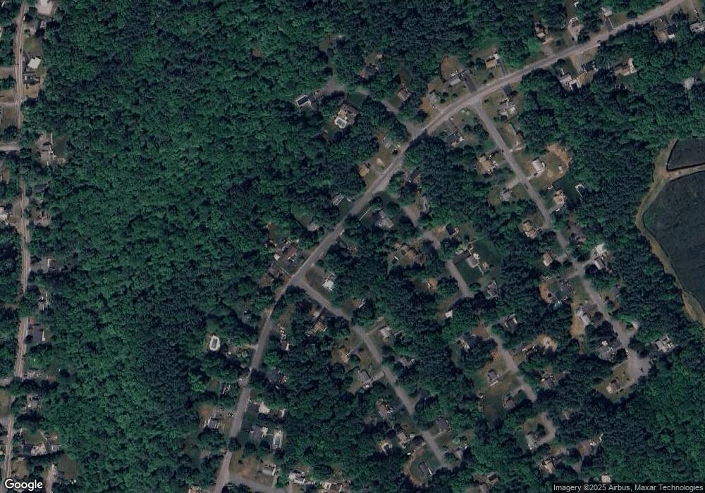
Map
Nearby Homes
- 161 Winter St Unit 11
- 26 Stonebridge Dr
- 127 Crescent Place
- Lot 6 Way
- 134 Crescent St
- 84 Liberty St
- 269 Lakeside Rd
- 361 County Rd
- 361A County Rd
- Lot 5 Princeton Way
- 430 Brook Bend Rd
- 139 Fairwood Dr
- 339 State St
- 168 Spring St
- 108 Waterford Dr
- 724 Whitman St
- 66 Wildwood Rd
- 80 Phillips St
- 22 Howland Trail Unit 34
- 17 Hayford Trail Unit 12
Your Personal Tour Guide
Ask me questions while you tour the home.