144 Robins Nest Jasper, GA 30143
Estimated Value: $671,000 - $1,006,000
3
Beds
3
Baths
1,955
Sq Ft
$431/Sq Ft
Est. Value
About This Home
This home is located at 144 Robins Nest, Jasper, GA 30143 and is currently estimated at $843,082, approximately $431 per square foot. 144 Robins Nest is a home with nearby schools including Robinson Elementary School, Dawson County Junior High School, and Dawson County Middle School.
Ownership History
Date
Name
Owned For
Owner Type
Purchase Details
Closed on
Jan 16, 2015
Sold by
Big Canoe Building Grp Llc
Bought by
Boorman Michael R
Current Estimated Value
Home Financials for this Owner
Home Financials are based on the most recent Mortgage that was taken out on this home.
Original Mortgage
$376,000
Outstanding Balance
$131,844
Interest Rate
3.88%
Mortgage Type
New Conventional
Estimated Equity
$711,238
Purchase Details
Closed on
Jan 14, 2014
Sold by
Big Canoe Co Llc
Bought by
Big Canoe Building Grp Llc
Purchase Details
Closed on
Jul 19, 2013
Sold by
Wardlaw Ben K
Bought by
Big Canoe Co Llc
Purchase Details
Closed on
Feb 18, 1985
Bought by
Wardlaw Ben K and Wardlaw Jany
Create a Home Valuation Report for This Property
The Home Valuation Report is an in-depth analysis detailing your home's value as well as a comparison with similar homes in the area
Home Values in the Area
Average Home Value in this Area
Purchase History
| Date | Buyer | Sale Price | Title Company |
|---|---|---|---|
| Boorman Michael R | $470,000 | -- | |
| Big Canoe Building Grp Llc | -- | -- | |
| Big Canoe Co Llc | $55,500 | -- | |
| Wardlaw Ben K | $15,000 | -- |
Source: Public Records
Mortgage History
| Date | Status | Borrower | Loan Amount |
|---|---|---|---|
| Open | Boorman Michael R | $376,000 |
Source: Public Records
Tax History Compared to Growth
Tax History
| Year | Tax Paid | Tax Assessment Tax Assessment Total Assessment is a certain percentage of the fair market value that is determined by local assessors to be the total taxable value of land and additions on the property. | Land | Improvement |
|---|---|---|---|---|
| 2024 | $5,191 | $319,160 | $43,784 | $275,376 |
| 2023 | $5,191 | $319,160 | $42,000 | $277,160 |
| 2022 | $5,923 | $276,480 | $30,000 | $246,480 |
| 2021 | $5,016 | $221,720 | $30,000 | $191,720 |
| 2020 | $5,101 | $215,560 | $30,000 | $185,560 |
| 2019 | $4,784 | $200,440 | $30,000 | $170,440 |
| 2018 | $4,794 | $200,440 | $30,000 | $170,440 |
| 2017 | $5,012 | $209,570 | $30,000 | $179,570 |
| 2016 | $4,496 | $193,430 | $30,000 | $163,430 |
| 2015 | $4,775 | $193,430 | $30,000 | $163,430 |
| 2014 | $566 | $32,000 | $30,000 | $2,000 |
| 2013 | -- | $30,000 | $30,000 | $0 |
Source: Public Records
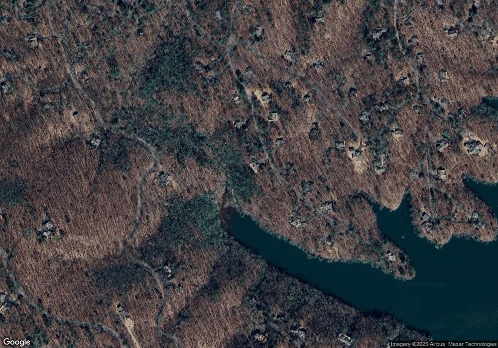
Map
Nearby Homes
- 98 Robins Nest
- 1023 Sparrows Nest
- 15 Gentle Dove Walk
- 941 Quail Cove Dr
- 626 Petit Ridge Dr
- 148 Kingfisher Point
- 120 Petit Ridge Dr
- 52 Fallen Deer Path
- 81 Flycatcher Point
- 10 Buckskull Ct
- 90 Cardinal Cove
- 118 Soaring Hawk Cir
- 85 Sleeping Fawn Knoll
- 37 Petit Ridge Dr
- 54 Buckskull Brow
- 202 Buckskull Hollow Dr
- 72 Foxglove Cir
- 255 Indigo Bunting Trail
- 16 Buckskull Knoll
- 4074 Lone Wolf Trail
- 126 Robins Nest
- 4072 Lone Wolf Trail
- 125 Robins Nest
- 19 Robins Nest
- 12 Robins Nest
- 161 Robins Nest Unit 1140
- 1140 Robins Nest
- 4053 Soaring Hawk Cir
- 4061 Woodland Trace
- 201 Robins Nest Unit 1139
- 201 Robins Nest
- 4024 Quail Cove Dr
- 70 Robins Nest
- 162 Owls Brow
- 76 Owls Brow
- 76 Owls Brow Unit 1034
- 4050 Gentle Dove Walk
- 4013 Fallen Deer Path
- 225 Robins Nest