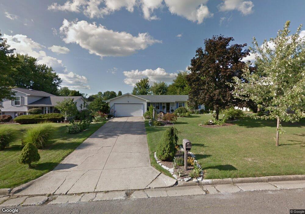
144 Runnemede Dr Youngstown, OH 44512
Estimated Value: $187,290 - $231,000
3
Beds
2
Baths
1,520
Sq Ft
$138/Sq Ft
Est. Value
About This Home
This home is located at 144 Runnemede Dr, Youngstown, OH 44512 and is currently estimated at $209,573, approximately $137 per square foot. 144 Runnemede Dr is a home located in Mahoning County with nearby schools including Stadium Drive Elementary School, Boardman Center Middle School, and Boardman High School.
Ownership History
Date
Name
Owned For
Owner Type
Purchase Details
Closed on
Aug 29, 1995
Sold by
Stefanski Christine M
Bought by
Mckee Robert L and Mckee Margaret L
Current Estimated Value
Home Financials for this Owner
Home Financials are based on the most recent Mortgage that was taken out on this home.
Original Mortgage
$81,000
Interest Rate
7.43%
Mortgage Type
New Conventional
Purchase Details
Closed on
Mar 7, 1989
Bought by
Stefanski W Dale
Create a Home Valuation Report for This Property
The Home Valuation Report is an in-depth analysis detailing your home's value as well as a comparison with similar homes in the area
Home Values in the Area
Average Home Value in this Area
Purchase History
| Date | Buyer | Sale Price | Title Company |
|---|---|---|---|
| Mckee Robert L | $79,000 | -- | |
| Stefanski W Dale | $58,000 | -- |
Source: Public Records
Mortgage History
| Date | Status | Borrower | Loan Amount |
|---|---|---|---|
| Closed | Mckee Robert L | $81,000 |
Source: Public Records
Tax History Compared to Growth
Tax History
| Year | Tax Paid | Tax Assessment Tax Assessment Total Assessment is a certain percentage of the fair market value that is determined by local assessors to be the total taxable value of land and additions on the property. | Land | Improvement |
|---|---|---|---|---|
| 2024 | $2,157 | $51,520 | $9,790 | $41,730 |
| 2023 | $2,160 | $51,520 | $9,790 | $41,730 |
| 2022 | $2,220 | $42,100 | $9,790 | $32,310 |
| 2021 | $2,222 | $42,100 | $9,790 | $32,310 |
| 2020 | $2,233 | $42,100 | $9,790 | $32,310 |
| 2019 | $1,908 | $33,410 | $7,770 | $25,640 |
| 2018 | $1,630 | $33,410 | $7,770 | $25,640 |
| 2017 | $1,472 | $33,410 | $7,770 | $25,640 |
| 2016 | $1,348 | $29,310 | $7,770 | $21,540 |
| 2015 | $1,322 | $29,310 | $7,770 | $21,540 |
| 2014 | $1,326 | $29,310 | $7,770 | $21,540 |
| 2013 | $1,309 | $29,310 | $7,770 | $21,540 |
Source: Public Records
Map
Nearby Homes
- 74 Carter Cir
- 8502 Glenwood Ave
- 153 Creston Dr
- 0 W Western Reserve Rd Unit 5146459
- 9144 Sharrott Rd
- 470 Garver Dr
- 9264 Sharrott Rd Unit 1004
- 9264 Sharrott Rd Unit 1001
- 9264 Sharrott Rd Unit 104
- 9264 Sharrott Rd Unit 1002
- Rosewood Plan at Courtyards at Stonegate
- 8218 Maramont Dr Unit B
- 235 E Western Reserve Rd
- 123 Mayflower Dr
- 134 Mayflower Dr
- 150 Cedars Dr
- 1555 W Western Reserve Rd
- Lot 43 Berklee Dr
- Lot 36 Berklee Dr
- Lot 44 Berklee Dr
- 140 Runnemede Dr
- 148 Runnemede Dr
- 143 Carter Cir
- 152 Runnemede Dr
- 152 Runnemede Dr
- 136 Runnemede Dr
- 147 Carter Cir
- 139 Carter Cir
- 145 Runnemede Dr
- 149 Runnemede Dr
- 151 Carter Cir
- 141 Runnemede Dr
- 135 Carter Cir
- 156 Runnemede Dr
- 132 Runnemede Dr
- 153 Runnemede Dr
- 137 Runnemede Dr
- 155 Carter Cir
- 131 Carter Cir
- 157 Runnemede Dr