144 Sampson Rd Littleton, NH 03561
Estimated Value: $245,000 - $327,000
3
Beds
2
Baths
1,072
Sq Ft
$267/Sq Ft
Est. Value
About This Home
This home is located at 144 Sampson Rd, Littleton, NH 03561 and is currently estimated at $286,027, approximately $266 per square foot. 144 Sampson Rd is a home located in Grafton County with nearby schools including Mildred C. Lakeway School, North Country Charter Academy (M), and North Country Charter Academy.
Ownership History
Date
Name
Owned For
Owner Type
Purchase Details
Closed on
Jul 2, 2004
Sold by
Mooney David C and Mooney Tina M
Bought by
Walker 3Rd Charles T and Walker Kellie M
Current Estimated Value
Home Financials for this Owner
Home Financials are based on the most recent Mortgage that was taken out on this home.
Original Mortgage
$58,000
Outstanding Balance
$29,127
Interest Rate
6.3%
Mortgage Type
Purchase Money Mortgage
Estimated Equity
$256,900
Purchase Details
Closed on
Jul 31, 1997
Sold by
Department Of Housing & Urban Dev
Bought by
Mooney Tina M and Mooney David C
Home Financials for this Owner
Home Financials are based on the most recent Mortgage that was taken out on this home.
Original Mortgage
$52,000
Interest Rate
7.55%
Create a Home Valuation Report for This Property
The Home Valuation Report is an in-depth analysis detailing your home's value as well as a comparison with similar homes in the area
Home Values in the Area
Average Home Value in this Area
Purchase History
| Date | Buyer | Sale Price | Title Company |
|---|---|---|---|
| Walker 3Rd Charles T | $65,000 | -- | |
| Mooney Tina M | $47,000 | -- |
Source: Public Records
Mortgage History
| Date | Status | Borrower | Loan Amount |
|---|---|---|---|
| Open | Mooney Tina M | $58,000 | |
| Previous Owner | Mooney Tina M | $52,000 |
Source: Public Records
Tax History Compared to Growth
Tax History
| Year | Tax Paid | Tax Assessment Tax Assessment Total Assessment is a certain percentage of the fair market value that is determined by local assessors to be the total taxable value of land and additions on the property. | Land | Improvement |
|---|---|---|---|---|
| 2024 | $4,365 | $175,000 | $23,100 | $151,900 |
| 2023 | $3,945 | $175,000 | $23,100 | $151,900 |
| 2022 | $4,036 | $175,000 | $23,100 | $151,900 |
| 2021 | $4,036 | $175,000 | $23,100 | $151,900 |
| 2020 | $3,789 | $175,000 | $23,100 | $151,900 |
| 2019 | $3,691 | $159,800 | $20,800 | $139,000 |
| 2018 | $3,691 | $159,800 | $20,800 | $139,000 |
| 2017 | $3,519 | $136,300 | $19,600 | $116,700 |
| 2016 | $3,532 | $136,300 | $19,600 | $116,700 |
| 2015 | $3,269 | $140,200 | $34,800 | $105,400 |
| 2014 | $3,112 | $140,200 | $34,800 | $105,400 |
| 2013 | $3,149 | $140,200 | $34,800 | $105,400 |
Source: Public Records
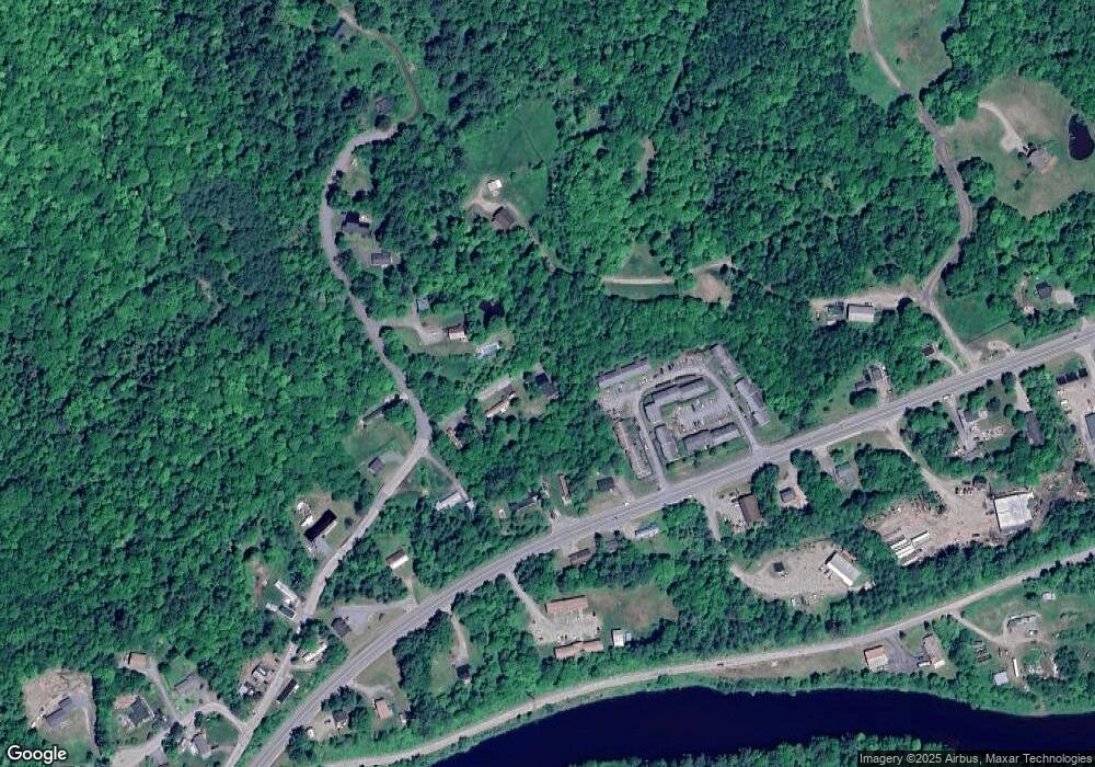
Map
Nearby Homes
- 14 Hilltop Manor Mobile Home Park
- 11 Richmond St
- 191 Washington St
- 180 Beacon St
- 114 Highland Ave
- 45 Point of View Dr
- 93 Pleasant St
- 34 Union St
- 36 MacIver Rd
- 33 Pleasant St
- 134 Cottage St
- 251 Bethlehem Rd
- 165 Bethlehem Rd
- 194 Main St
- 00 Guider Ln
- 80 Guider Ln
- 92-29 Birchcroft Dr
- 166 Riverside Dr
- 60-70 Meadow St
- 456 Brickyard Rd