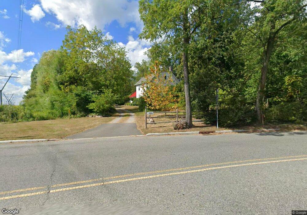
144 Walnut St Livingston, NJ 07039
Estimated Value: $991,000 - $1,313,696
--
Bed
--
Bath
2,537
Sq Ft
$455/Sq Ft
Est. Value
About This Home
This home is located at 144 Walnut St, Livingston, NJ 07039 and is currently estimated at $1,154,674, approximately $455 per square foot. 144 Walnut St is a home located in Essex County with nearby schools including Livingston Sr High School, Joseph Kushner Hebrew Academy, and Sinai Schools Maor.
Ownership History
Date
Name
Owned For
Owner Type
Purchase Details
Closed on
Nov 29, 2007
Sold by
Schlawitz Eleanor and Reimer John R
Bought by
Vallejo Diego F and Rubio Norma Y
Current Estimated Value
Home Financials for this Owner
Home Financials are based on the most recent Mortgage that was taken out on this home.
Original Mortgage
$400,000
Interest Rate
6.2%
Mortgage Type
Purchase Money Mortgage
Purchase Details
Closed on
Oct 26, 2007
Sold by
Allen William H and Reimer Raymond H
Bought by
Reimer John R
Home Financials for this Owner
Home Financials are based on the most recent Mortgage that was taken out on this home.
Original Mortgage
$400,000
Interest Rate
6.2%
Mortgage Type
Purchase Money Mortgage
Create a Home Valuation Report for This Property
The Home Valuation Report is an in-depth analysis detailing your home's value as well as a comparison with similar homes in the area
Home Values in the Area
Average Home Value in this Area
Purchase History
| Date | Buyer | Sale Price | Title Company |
|---|---|---|---|
| Vallejo Diego F | $500,000 | First American Title Ins Co | |
| Reimer John R | -- | None Available |
Source: Public Records
Mortgage History
| Date | Status | Borrower | Loan Amount |
|---|---|---|---|
| Open | Vallejo Diego F | $50,000 | |
| Previous Owner | Vallejo Diego F | $400,000 |
Source: Public Records
Tax History Compared to Growth
Tax History
| Year | Tax Paid | Tax Assessment Tax Assessment Total Assessment is a certain percentage of the fair market value that is determined by local assessors to be the total taxable value of land and additions on the property. | Land | Improvement |
|---|---|---|---|---|
| 2025 | $16,604 | $700,000 | $394,000 | $306,000 |
| 2024 | $16,604 | $700,000 | $394,000 | $306,000 |
| 2022 | $16,331 | $700,000 | $394,000 | $306,000 |
| 2021 | $16,198 | $700,000 | $394,000 | $306,000 |
| 2020 | $15,897 | $700,000 | $394,000 | $306,000 |
| 2019 | $16,350 | $625,000 | $435,200 | $189,800 |
| 2018 | $16,131 | $625,000 | $435,200 | $189,800 |
| 2017 | $15,919 | $625,000 | $435,200 | $189,800 |
| 2016 | $15,625 | $625,000 | $435,200 | $189,800 |
| 2015 | $15,394 | $625,000 | $435,200 | $189,800 |
| 2014 | $14,894 | $625,000 | $435,200 | $189,800 |
Source: Public Records
Map
Nearby Homes
- 60 Baker Rd
- 5 Foxcroft Dr
- 17 Penwood Rd
- 15 North Dr
- 15 East Dr
- 1 Relkin Rd
- 27 Mounthaven Dr
- 18 Claremont Ave
- 14 Burnet Hill Rd
- 16 Crossbrook Place
- 23 Winans Rd
- 40 Byron Place
- 7 Coventry Rd
- 19 Hearthstone Terrace
- 224 W Mount Pleasant Ave
- 301 Edmonton Ct Unit 6301
- 32 Ridge Dr
- 21 Highland Dr
- 305 Binghampton Ln