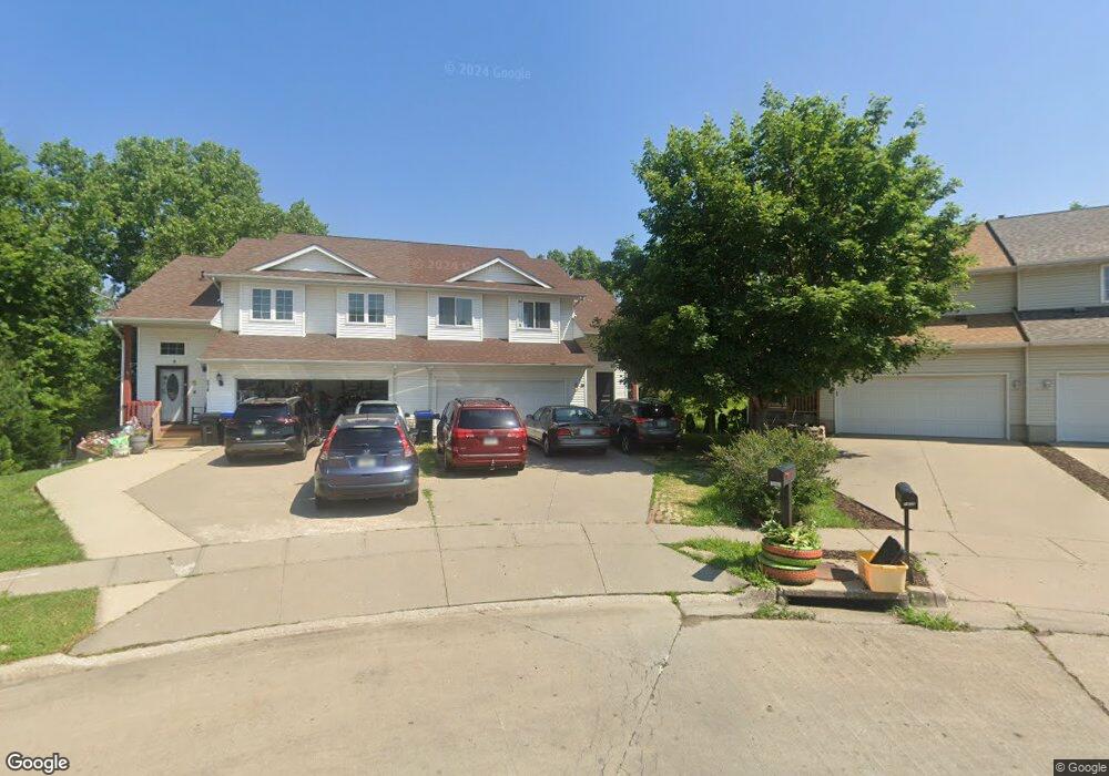
1440 Kodiak Ct Coralville, IA 52241
Estimated Value: $265,000 - $311,289
4
Beds
2
Baths
1,434
Sq Ft
$195/Sq Ft
Est. Value
About This Home
This home is located at 1440 Kodiak Ct, Coralville, IA 52241 and is currently estimated at $279,322, approximately $194 per square foot. 1440 Kodiak Ct is a home located in Johnson County with nearby schools including Kirkwood Elementary School, Northwest Junior High School, and West High School.
Ownership History
Date
Name
Owned For
Owner Type
Purchase Details
Closed on
Aug 23, 2007
Sold by
Krutzfeldt Paul Alan and Krutzfeldt Danae Lynne
Bought by
Ahmed Bederelddin B and Mohamed Ilham B
Current Estimated Value
Home Financials for this Owner
Home Financials are based on the most recent Mortgage that was taken out on this home.
Original Mortgage
$172,500
Outstanding Balance
$109,942
Interest Rate
6.79%
Mortgage Type
New Conventional
Estimated Equity
$169,380
Create a Home Valuation Report for This Property
The Home Valuation Report is an in-depth analysis detailing your home's value as well as a comparison with similar homes in the area
Home Values in the Area
Average Home Value in this Area
Purchase History
| Date | Buyer | Sale Price | Title Company |
|---|---|---|---|
| Ahmed Bederelddin B | $172,500 | None Available |
Source: Public Records
Mortgage History
| Date | Status | Borrower | Loan Amount |
|---|---|---|---|
| Open | Ahmed Bederelddin B | $172,500 |
Source: Public Records
Tax History Compared to Growth
Tax History
| Year | Tax Paid | Tax Assessment Tax Assessment Total Assessment is a certain percentage of the fair market value that is determined by local assessors to be the total taxable value of land and additions on the property. | Land | Improvement |
|---|---|---|---|---|
| 2025 | $4,646 | $258,400 | $34,700 | $223,700 |
| 2024 | $4,584 | $250,500 | $34,700 | $215,800 |
| 2023 | $4,420 | $250,500 | $34,700 | $215,800 |
| 2022 | $4,220 | $210,800 | $12,100 | $198,700 |
| 2021 | $4,176 | $210,800 | $12,100 | $198,700 |
| 2020 | $4,176 | $200,300 | $12,100 | $188,200 |
| 2019 | $4,148 | $200,300 | $12,100 | $188,200 |
| 2018 | $4,068 | $200,300 | $12,100 | $188,200 |
| 2017 | $3,344 | $200,300 | $12,100 | $188,200 |
| 2016 | $3,256 | $163,800 | $12,000 | $151,800 |
| 2015 | $3,256 | $163,800 | $12,000 | $151,800 |
| 2014 | $3,022 | $151,500 | $12,000 | $139,500 |
Source: Public Records
Map
Nearby Homes
- 1428 Kenai Ct
- 2239 13th St
- 2267 13th St Unit 65B
- 2100 14th St Unit 42A
- 2262 Holiday Rd Unit 104
- 2270 Holiday Rd Unit 509
- 996 22nd Ave
- 2106 Holiday Rd
- 1731 Parkway Dr
- 1742 Park Ridge Dr
- 1357 Ozark Ridge
- 2060 Holiday Rd
- 930 23rd Avenue Place Unit 6
- 2050 S Ridge Dr
- 2102 10th Street Place
- 2424 10th St
- 940 23rd Ave Unit D
- 1730 Lynncrest Dr
- 936 23rd Ave Unit J
- 936 23rd Ave Unit F
- 1434 Kodiak Ct
- 1437 Kodiak Ct
- 1432 Kodiak Ct Unit 8A
- 1433 Kodiak Ct Unit 11A
- 1433 Kodiak Ct
- 1428 Kodiak Ct
- 1431 Kodiak Ct
- 1426 Kodiak Ct Unit 7A
- 1427 Kodiak Ct Unit 12A
- 1422 Kodiak Ct Unit 6B
- 1425 Kodiak Ct
- 1420 Kodiak Ct
- 1421 Kodiak Ct
- 1426 Denali Ct
- 1416 Kodiak Ct
- 1419 Kodiak Ct
- 1424 Denali Ct
- 1430 Denali Ct
- 1414 Kodiak Ct
- 1420 Denali Ct Unit 20B