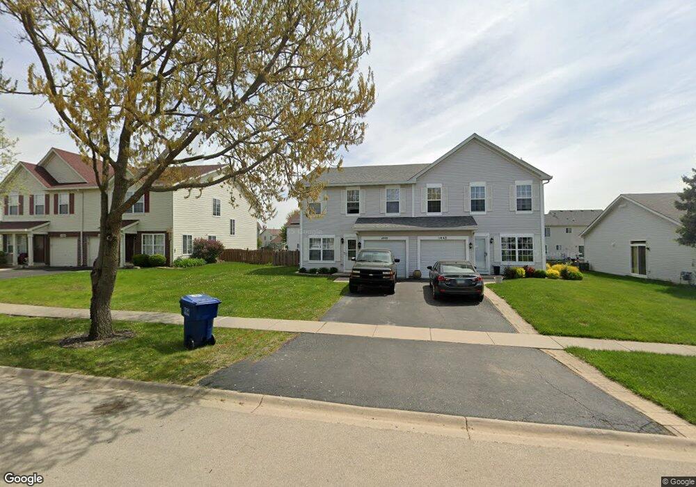
1440 Red Top Ln Unit 2 Minooka, IL 60447
Estimated Value: $249,000 - $267,000
3
Beds
2
Baths
1,623
Sq Ft
$159/Sq Ft
Est. Value
About This Home
This home is located at 1440 Red Top Ln Unit 2, Minooka, IL 60447 and is currently estimated at $258,425, approximately $159 per square foot. 1440 Red Top Ln Unit 2 is a home located in Grundy County with nearby schools including Minooka Primary Center, Minooka Elementary School, and Minooka Junior High School.
Ownership History
Date
Name
Owned For
Owner Type
Purchase Details
Closed on
Dec 15, 2022
Sold by
Evans Matthew and Evans Whitney
Bought by
Ibarra Alejandro A
Current Estimated Value
Home Financials for this Owner
Home Financials are based on the most recent Mortgage that was taken out on this home.
Original Mortgage
$174,250
Outstanding Balance
$168,656
Interest Rate
6.58%
Mortgage Type
New Conventional
Estimated Equity
$89,769
Purchase Details
Closed on
Sep 8, 2017
Sold by
Wroblewski Natalie and Wroblewski Michael
Bought by
Evans Matthew and Evans Whitney
Home Financials for this Owner
Home Financials are based on the most recent Mortgage that was taken out on this home.
Original Mortgage
$152,714
Interest Rate
4%
Mortgage Type
New Conventional
Create a Home Valuation Report for This Property
The Home Valuation Report is an in-depth analysis detailing your home's value as well as a comparison with similar homes in the area
Purchase History
| Date | Buyer | Sale Price | Title Company |
|---|---|---|---|
| Ibarra Alejandro A | $205,000 | Fidelity National Title | |
| Evans Matthew | $149,500 | Fidelity National Title |
Source: Public Records
Mortgage History
| Date | Status | Borrower | Loan Amount |
|---|---|---|---|
| Open | Ibarra Alejandro A | $174,250 | |
| Previous Owner | Evans Matthew | $152,714 |
Source: Public Records
Tax History
| Year | Tax Paid | Tax Assessment Tax Assessment Total Assessment is a certain percentage of the fair market value that is determined by local assessors to be the total taxable value of land and additions on the property. | Land | Improvement |
|---|---|---|---|---|
| 2024 | $4,707 | $58,681 | $8,184 | $50,497 |
| 2023 | $4,290 | $53,488 | $7,460 | $46,028 |
| 2022 | $3,508 | $49,733 | $6,936 | $42,797 |
| 2021 | $3,346 | $47,078 | $6,566 | $40,512 |
| 2020 | $3,253 | $45,034 | $6,281 | $38,753 |
| 2019 | $3,053 | $41,698 | $5,816 | $35,882 |
| 2018 | $2,790 | $37,834 | $5,751 | $32,083 |
| 2017 | $2,696 | $36,129 | $5,492 | $30,637 |
| 2016 | $2,499 | $33,914 | $5,155 | $28,759 |
| 2015 | $2,187 | $30,828 | $4,686 | $26,142 |
| 2014 | $2,058 | $30,894 | $5,575 | $25,319 |
| 2013 | $2,119 | $31,310 | $5,650 | $25,660 |
Source: Public Records
Map
Nearby Homes
- 1451 Red Top Ln
- 1559 Bluestem Ln
- 1468 Sedge Pass
- 500 Prairie View Dr
- 116 Fayette Ct
- 651 Chestnut Ridge
- 1509 Donegal Dr
- 25308 S Mallard Dr
- 25407 S Yellow Pine Dr
- 1227 Wabena Ave
- 1923 Waters Edge Dr
- 26411 W Stephanie Dr
- 25204 Westwind Dr
- 25136 Westwind Dr
- 25140 Westwind Dr
- 25146 Westwind Dr
- 25162 Westwind Dr
- 25150 Westwind Dr
- 25548 S Mallard Dr
- 2080 Waters Edge Dr
- 1440 Red Top Ln
- 1438 Red Top Ln Unit 1438
- 1442 Red Top Ln
- 1436 Red Top Ln
- 1444 Red Top Ln
- 1446 Red Top Ln Unit 1446
- 1568 Bluestem Ct
- 1572 Bluestem Ct
- 1432 Red Top Ln Unit 1432
- 1432 Red Top Ln
- 1564 Bluestem Ct
- 1439 Red Top Ln
- 1441 Red Top Ln
- 1437 Red Top Ln
- 1443 Red Top Ln
- 1576 Bluestem Ct
- 1435 Red Top Ln
- 1430 Red Top Ln
- 1445 Red Top Ln Unit 1445
- 1445 Red Top Ln
Your Personal Tour Guide
Ask me questions while you tour the home.