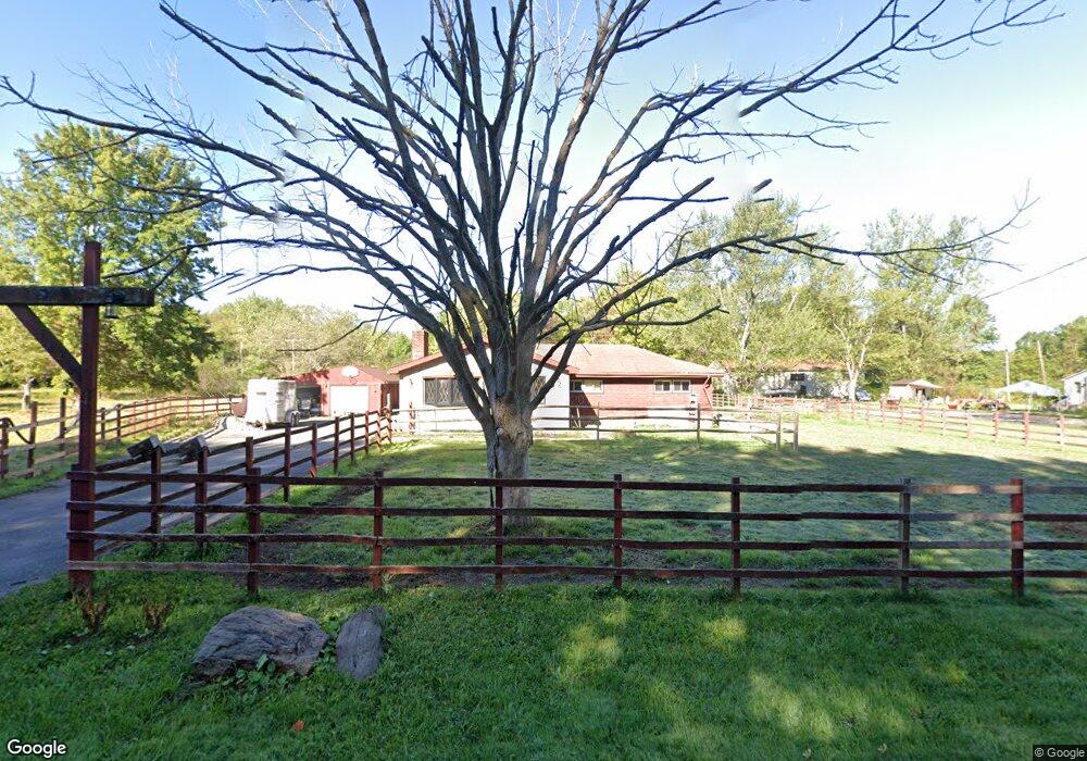
1440 State Line Rd Hubbard, OH 44425
Coitsville NeighborhoodEstimated Value: $74,390 - $264,000
3
Beds
1
Bath
1,818
Sq Ft
$100/Sq Ft
Est. Value
About This Home
This home is located at 1440 State Line Rd, Hubbard, OH 44425 and is currently estimated at $182,348, approximately $100 per square foot. 1440 State Line Rd is a home located in Mahoning County with nearby schools including M.L. King Elementary School, Williamson Elementary School, and East High School.
Ownership History
Date
Name
Owned For
Owner Type
Purchase Details
Closed on
Apr 17, 2017
Sold by
Hanni Mark A
Bought by
Hanni Mark A
Current Estimated Value
Purchase Details
Closed on
Nov 2, 2014
Sold by
Wolff Lyndsay M
Bought by
Hanni Mark A
Purchase Details
Closed on
May 27, 2008
Sold by
Hanni Don L
Bought by
Hanni Mark A and Hanni Mark A
Purchase Details
Closed on
Dec 6, 1988
Bought by
Hanni Don L
Create a Home Valuation Report for This Property
The Home Valuation Report is an in-depth analysis detailing your home's value as well as a comparison with similar homes in the area
Home Values in the Area
Average Home Value in this Area
Purchase History
| Date | Buyer | Sale Price | Title Company |
|---|---|---|---|
| Hanni Mark A | -- | None Available | |
| Hanni Mark A | $7,500 | Attorney | |
| Hanni Mark A | -- | Attorney | |
| Hanni Don L | -- | -- |
Source: Public Records
Tax History
| Year | Tax Paid | Tax Assessment Tax Assessment Total Assessment is a certain percentage of the fair market value that is determined by local assessors to be the total taxable value of land and additions on the property. | Land | Improvement |
|---|---|---|---|---|
| 2025 | $467 | $8,340 | $3,990 | $4,350 |
| 2024 | $515 | $8,340 | $3,990 | $4,350 |
| 2023 | $625 | $8,340 | $3,990 | $4,350 |
| 2022 | $1,027 | $12,800 | $2,710 | $10,090 |
| 2021 | $956 | $12,800 | $2,710 | $10,090 |
| 2020 | $961 | $12,800 | $2,710 | $10,090 |
| 2019 | $1,058 | $12,800 | $2,710 | $10,090 |
| 2018 | $1,042 | $12,800 | $2,710 | $10,090 |
| 2017 | $1,039 | $12,800 | $2,710 | $10,090 |
| 2016 | $1,035 | $13,650 | $2,710 | $10,940 |
| 2015 | $1,016 | $13,650 | $2,710 | $10,940 |
| 2014 | $1,009 | $13,650 | $2,710 | $10,940 |
| 2013 | $1,648 | $22,470 | $2,710 | $19,760 |
Source: Public Records
Map
Nearby Homes
- 4109 High Hill Rd
- 3821 Evergreen Rd
- 6453 Old Pulaski Rd
- 5160 Oak St
- 6565 Mccartney Rd
- 138 Beech Way
- 57 Wagon Wheel Ct
- 2974 Schotten Rd
- 4242 Mccartney Rd
- 2915 Megan Cir
- 114 Oakdale Ave
- 1145 Doris Dr
- 3302 Castalia Ave
- 585 Creekside Dr
- 11 Clubhouse Dr
- 601 Wendemere Dr
- 665 Wendemere Dr
- 13 Oak Tree Ct
- 400 Oak Hill Rd
- 1214 Brighton St
- 1470 State Line Rd
- 1381 John White Rd
- 1532 State Line Rd
- 1616 State Line Rd
- 1408 John White Rd
- 1420 John White Rd
- 1301 N State Line Rd
- 6954 McGuffey Ext Rd
- 1458 John White Rd
- 6954 McGuffey Rd
- 6954 McGuffey Rd
- 1549 John White Rd
- 1766 State Line Rd
- 4910 High Hill Rd
- 1800 State Line Rd
- 22 Shotten Rd
- 1695 John White Rd
- 6606 McGuffey Rd
- 1600 John White Rd
- 1717 John White Rd
Your Personal Tour Guide
Ask me questions while you tour the home.