14400 Ga Highway 315 Cataula, GA 31804
Cataula NeighborhoodEstimated Value: $341,201 - $670,000
3
Beds
2
Baths
2,285
Sq Ft
$191/Sq Ft
Est. Value
About This Home
This home is located at 14400 Ga Highway 315, Cataula, GA 31804 and is currently estimated at $435,800, approximately $190 per square foot. 14400 Ga Highway 315 is a home located in Harris County with nearby schools including Mulberry Creek Elementary School, Cogburn Woods Elementary School, and Harris County Carver Middle School.
Ownership History
Date
Name
Owned For
Owner Type
Purchase Details
Closed on
Oct 31, 2011
Sold by
Sasser Earl H
Bought by
Allen Bobby Paul
Current Estimated Value
Home Financials for this Owner
Home Financials are based on the most recent Mortgage that was taken out on this home.
Original Mortgage
$208,386
Outstanding Balance
$141,014
Interest Rate
4.09%
Mortgage Type
VA
Estimated Equity
$294,786
Purchase Details
Closed on
Aug 1, 2011
Sold by
Sasser Melba B
Bought by
Sasser Earl H
Purchase Details
Closed on
Sep 11, 1992
Bought by
Sasser Earl H and Sasser Melba B
Create a Home Valuation Report for This Property
The Home Valuation Report is an in-depth analysis detailing your home's value as well as a comparison with similar homes in the area
Home Values in the Area
Average Home Value in this Area
Purchase History
| Date | Buyer | Sale Price | Title Company |
|---|---|---|---|
| Allen Bobby Paul | $204,000 | -- | |
| Sasser Earl H | -- | -- | |
| Sasser Earl H | $108,000 | -- |
Source: Public Records
Mortgage History
| Date | Status | Borrower | Loan Amount |
|---|---|---|---|
| Open | Allen Bobby Paul | $208,386 |
Source: Public Records
Tax History Compared to Growth
Tax History
| Year | Tax Paid | Tax Assessment Tax Assessment Total Assessment is a certain percentage of the fair market value that is determined by local assessors to be the total taxable value of land and additions on the property. | Land | Improvement |
|---|---|---|---|---|
| 2025 | $3,135 | $104,287 | $36,324 | $67,963 |
| 2024 | $2,497 | $88,157 | $27,662 | $60,495 |
| 2023 | $2,493 | $88,005 | $27,662 | $60,343 |
| 2022 | $2,493 | $88,005 | $27,662 | $60,343 |
| 2021 | $2,447 | $83,137 | $27,662 | $55,475 |
| 2020 | $2,447 | $83,137 | $27,662 | $55,475 |
| 2019 | $2,364 | $83,137 | $27,662 | $55,475 |
| 2018 | $2,409 | $83,137 | $27,662 | $55,475 |
| 2017 | $2,410 | $83,137 | $27,662 | $55,475 |
| 2016 | $2,202 | $83,131 | $27,662 | $55,469 |
| 2015 | $2,207 | $83,131 | $27,662 | $55,469 |
| 2014 | $2,211 | $83,131 | $27,662 | $55,469 |
| 2013 | -- | $83,130 | $27,661 | $55,469 |
Source: Public Records
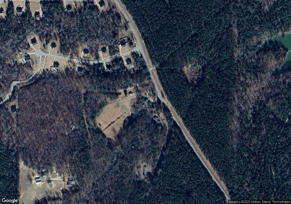
Map
Nearby Homes
- 13145 Ga Highway 315
- 11740 Ga Highway 315
- 492 Mulberry Crossing Dr
- 0 Scott Rd
- Undefined Scott Rd
- 909 Red Fox Ct
- 303 Rocky Springs Dr
- 73 Dogwood Terrace
- 73 Cataula Dr
- 556 Douglas Dr
- 1140 Central Church Rd
- 7131 US Highway 27
- 178 Rolling Farm Way
- 94 Newberry Ln
- 0 Maria Ln Unit LotWP001
- 0 Maria Ln Unit 10525789
- 443 Abberly Ln
- 65 Buckeye Loop S
- 218 E East Bonacre Rd
- 72 Mountain Lake Ct
- 14428 Ga Highway 315
- 14366 Ga Highway 315
- 13878 Ga Hwy 0315
- 47 Maple Creek Ct
- 23 Maple Creek Dr
- 14464 Ga Highway 315
- 73 Maple Creek Dr
- 46 Maple Creek Dr
- 99 Maple Creek Dr
- 14364 Ga Hwy 0315
- 22 Maple Creek Dr
- 80 Maple Creek Dr
- 14364 Ga Highway 315
- 14364 Georgia 315
- 102 Maple Creek Dr
- 21 Maple Creek Ct Unit 10
- 21 Maple Creek Ct
- 51 Maple Creek Ct
- 118 Maple Creek Dr
- 121 Maple Creek Dr