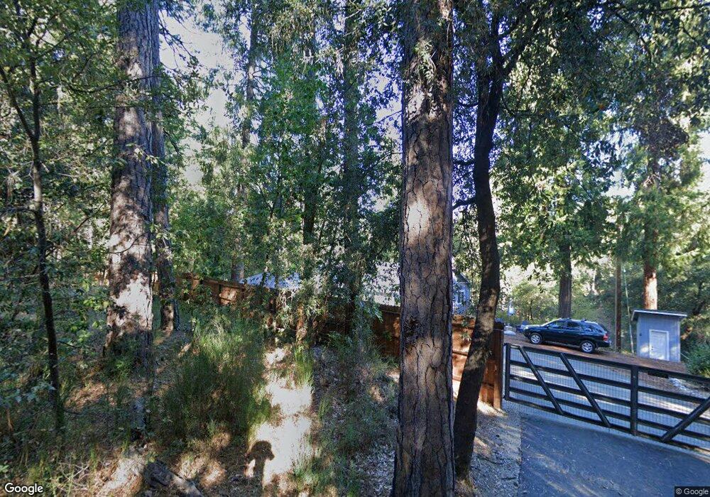
14400 Hobnob Way Nevada City, CA 95959
Estimated Value: $563,178 - $617,000
3
Beds
2
Baths
1,500
Sq Ft
$394/Sq Ft
Est. Value
About This Home
This home is located at 14400 Hobnob Way, Nevada City, CA 95959 and is currently estimated at $591,295, approximately $394 per square foot. 14400 Hobnob Way is a home located in Nevada County with nearby schools including Deer Creek Elementary School, Seven Hills Intermediate School, and Forest Charter School.
Ownership History
Date
Name
Owned For
Owner Type
Purchase Details
Closed on
Jan 27, 2025
Sold by
Heggarty Michael J and Heggarty Karen J
Bought by
Heggarty Family Trust and Heggarty
Current Estimated Value
Purchase Details
Closed on
Mar 14, 2006
Sold by
Dustrud David R and Dustrud Dana L
Bought by
Heggarty Michael J and Heggarty Karen J
Home Financials for this Owner
Home Financials are based on the most recent Mortgage that was taken out on this home.
Original Mortgage
$254,500
Interest Rate
6.18%
Mortgage Type
Fannie Mae Freddie Mac
Purchase Details
Closed on
Mar 1, 1999
Sold by
Peterson Dan R and Peterson Diane L
Bought by
Dustrud David R and Dustrud Dana L
Home Financials for this Owner
Home Financials are based on the most recent Mortgage that was taken out on this home.
Original Mortgage
$152,900
Interest Rate
6.76%
Mortgage Type
Purchase Money Mortgage
Create a Home Valuation Report for This Property
The Home Valuation Report is an in-depth analysis detailing your home's value as well as a comparison with similar homes in the area
Home Values in the Area
Average Home Value in this Area
Purchase History
| Date | Buyer | Sale Price | Title Company |
|---|---|---|---|
| Heggarty Family Trust | -- | None Listed On Document | |
| Heggarty Michael J | $505,000 | Placer Title Company | |
| Dustrud David R | $170,000 | -- |
Source: Public Records
Mortgage History
| Date | Status | Borrower | Loan Amount |
|---|---|---|---|
| Previous Owner | Heggarty Michael J | $254,500 | |
| Previous Owner | Dustrud David R | $152,900 |
Source: Public Records
Tax History Compared to Growth
Tax History
| Year | Tax Paid | Tax Assessment Tax Assessment Total Assessment is a certain percentage of the fair market value that is determined by local assessors to be the total taxable value of land and additions on the property. | Land | Improvement |
|---|---|---|---|---|
| 2025 | $5,681 | $526,100 | $188,800 | $337,300 |
| 2024 | $5,691 | $526,100 | $188,800 | $337,300 |
| 2023 | $5,691 | $526,100 | $188,800 | $337,300 |
| 2022 | $5,739 | $526,100 | $188,800 | $337,300 |
| 2021 | $4,985 | $457,500 | $164,200 | $293,300 |
| 2020 | $4,396 | $397,800 | $142,800 | $255,000 |
| 2019 | $4,775 | $434,700 | $125,200 | $309,500 |
| 2018 | $4,553 | $414,000 | $119,240 | $294,760 |
| 2017 | $3,826 | $345,000 | $127,000 | $218,000 |
| 2016 | $3,428 | $313,000 | $115,000 | $198,000 |
| 2015 | $3,334 | $304,000 | $112,000 | $192,000 |
| 2014 | $3,334 | $287,000 | $106,000 | $181,000 |
Source: Public Records
Map
Nearby Homes
- 30115 N Bloomfield-Graniteville Rd
- 15455 Old Washington Rd
- 728 Old Washington Rd
- 20638 Rector Rd
- 17271 Lake Vera Purdon Rd
- 803 Uren St
- 20866 Kuntz Ct
- 21345 Kuntz Ct
- 251 Willow Valley Rd Unit 17
- 10107 Shekinah Hill Rd
- 708 W Broad St
- 16094 N Countrywood Ln
- 439 Washington St
- 140 Redbud Way
- 157 Grove St
- 660 Chief Kelly Dr
- 520 Lost Hill Ct
- 651 Chief Kelly Dr
- 421 Broad St
- 500 Factory St
- 14504 Hobnob Way
- 14440 Hobnob Way
- 14306 Hobnob Way
- 14581 Hobnob Way
- 14702 Hobnob Way
- 17129 Rock Creek Rd
- 14226 Hobnob Way
- 17067 Rock Creek Rd
- 17181 Rock Creek Rd
- 14265 Hobnob Way
- 14619 Rocky Rd
- 17257 Rock Creek Rd
- 17021 Rock Creek Rd
- 16897 Rock Creek Rd
- 14542 Rocky Rd
- 14136 Hobnob Way
- 15094 Osdick Ct
- 17341 Rock Creek Rd
- 11401 Bernard Place