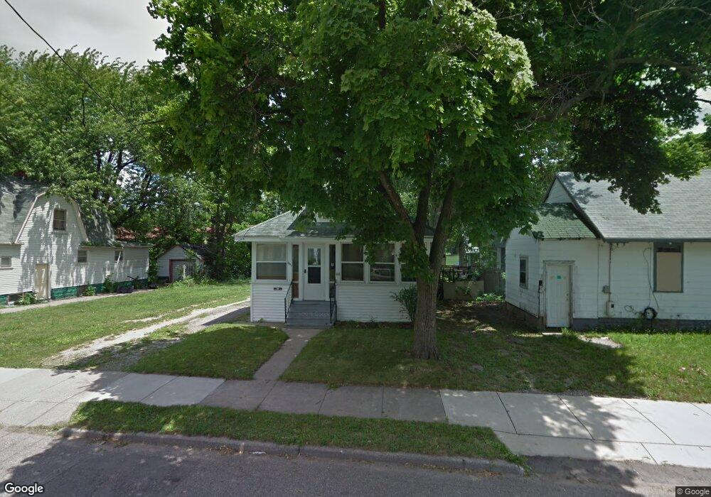
1441 Pontiac St Unit Bldg-Unit Lansing, MI 48910
Clifford Park NeighborhoodEstimated Value: $61,000 - $78,000
--
Bed
1
Bath
704
Sq Ft
$99/Sq Ft
Est. Value
About This Home
This home is located at 1441 Pontiac St Unit Bldg-Unit, Lansing, MI 48910 and is currently estimated at $69,760, approximately $99 per square foot. 1441 Pontiac St Unit Bldg-Unit is a home located in Ingham County with nearby schools including Lyons Elementary School, Pattengill Academy, and Eastern High School.
Ownership History
Date
Name
Owned For
Owner Type
Purchase Details
Closed on
Nov 14, 2018
Sold by
Elmo Dana and Copeland Joseph F
Bought by
Kelly Cassie and Adkins James
Current Estimated Value
Purchase Details
Closed on
Feb 13, 2010
Sold by
Copeland Joseph F
Bought by
Copeland Joseph F and Brodberg Dean E
Create a Home Valuation Report for This Property
The Home Valuation Report is an in-depth analysis detailing your home's value as well as a comparison with similar homes in the area
Home Values in the Area
Average Home Value in this Area
Purchase History
| Date | Buyer | Sale Price | Title Company |
|---|---|---|---|
| Kelly Cassie | $18,500 | None Available | |
| Copeland Joseph F | -- | None Available |
Source: Public Records
Tax History Compared to Growth
Tax History
| Year | Tax Paid | Tax Assessment Tax Assessment Total Assessment is a certain percentage of the fair market value that is determined by local assessors to be the total taxable value of land and additions on the property. | Land | Improvement |
|---|---|---|---|---|
| 2025 | $1,446 | $34,900 | $3,000 | $31,900 |
| 2024 | $11 | $28,300 | $3,000 | $25,300 |
| 2023 | $1,359 | $24,800 | $3,000 | $21,800 |
| 2022 | $1,230 | $22,000 | $2,300 | $19,700 |
| 2021 | $1,205 | $19,600 | $2,200 | $17,400 |
| 2020 | $1,197 | $18,100 | $2,200 | $15,900 |
| 2019 | $1,052 | $16,500 | $2,200 | $14,300 |
| 2018 | $1,344 | $15,400 | $2,200 | $13,200 |
| 2017 | $864 | $15,400 | $2,200 | $13,200 |
| 2016 | $826 | $15,100 | $2,200 | $12,900 |
| 2015 | $826 | $14,600 | $4,499 | $10,101 |
| 2014 | $826 | $14,600 | $3,115 | $11,485 |
Source: Public Records
Map
Nearby Homes
- 1423 Pontiac St
- 1437 Ada St
- 1529 S Pennsylvania Ave
- 707 Isbell St
- 1539 Linval St
- 531 Torrence Ct
- 515 Jason Ct
- 1221 Pershing Dr
- 506 Christiancy St
- 1620 Clifton Ave
- 918 Mckim Ave
- 1200 S Holmes St
- 704 Mckim Ave
- 1818 Ray St
- 525 E Mount Hope Ave
- 1731 Herbert St
- 2201 S Pennsylvania Ave
- 1800 Herbert St
- 2011 Clifton Ave
- 2208 Lyons Ave
- 1441 Pontiac St
- 1437 Pontiac St
- 919 Baker St
- 923 Baker St
- 915 Baker St
- 1435 Pontiac St
- 1431 Pontiac St
- 1440 S Pennsylvania Ave
- 909 Baker St
- 1429 Pontiac St
- 1425 Pontiac St
- 1436 Pontiac St
- 922 Baker St
- 918 Baker St
- 3 Baker St
- 903 Baker St
- 914 Baker St
- 1434 Pontiac St
- 912 Baker St
- 1500 S Pennsylvania Ave