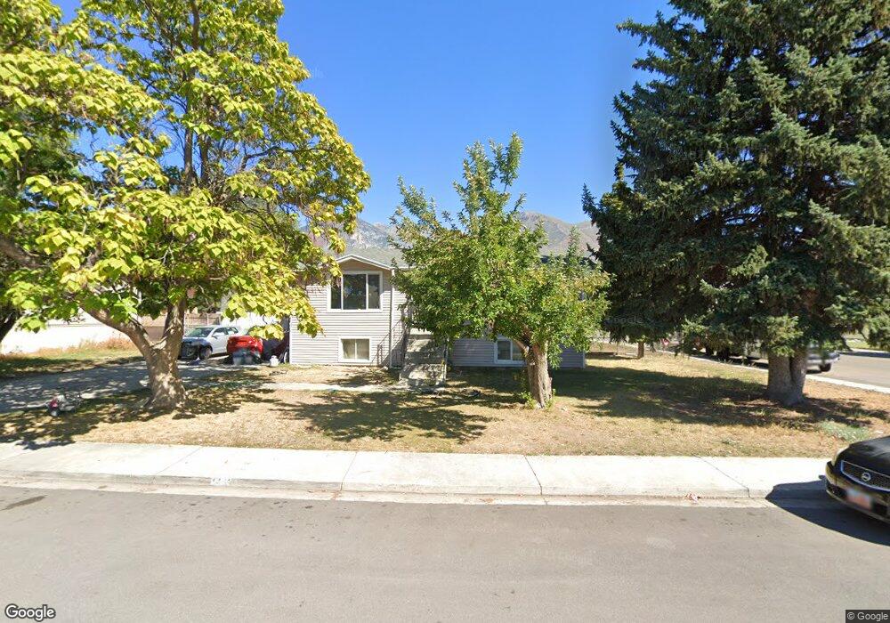
1441 S 680 W Provo, UT 84601
Franklin NeighborhoodEstimated Value: $411,142 - $417,000
2
Beds
1
Bath
975
Sq Ft
$424/Sq Ft
Est. Value
About This Home
This home is located at 1441 S 680 W, Provo, UT 84601 and is currently estimated at $413,381, approximately $423 per square foot. 1441 S 680 W is a home located in Utah County with nearby schools including Franklin Elementary School, Dixon Middle School, and Provo High School.
Ownership History
Date
Name
Owned For
Owner Type
Purchase Details
Closed on
Nov 23, 2021
Sold by
Bichsel Jed R
Bought by
Jed Robert Bichsel And Kathryn C Bichsel Livi
Current Estimated Value
Home Financials for this Owner
Home Financials are based on the most recent Mortgage that was taken out on this home.
Original Mortgage
$225,000
Outstanding Balance
$206,345
Interest Rate
3.05%
Mortgage Type
New Conventional
Estimated Equity
$207,036
Purchase Details
Closed on
Aug 16, 2010
Sold by
Bichsel Jed Robert and Bichsel Kathryn C
Bought by
Bichsel Jed Robert and Bichsel Kathryn C
Home Financials for this Owner
Home Financials are based on the most recent Mortgage that was taken out on this home.
Original Mortgage
$100,000
Interest Rate
4.52%
Mortgage Type
New Conventional
Purchase Details
Closed on
Sep 22, 1998
Sold by
Bichsel Jed R and Bichsel Kathryn C
Bought by
Bichsel Jed R and Bichsel Kathryn C
Create a Home Valuation Report for This Property
The Home Valuation Report is an in-depth analysis detailing your home's value as well as a comparison with similar homes in the area
Home Values in the Area
Average Home Value in this Area
Purchase History
| Date | Buyer | Sale Price | Title Company |
|---|---|---|---|
| Jed Robert Bichsel And Kathryn C Bichsel Livi | -- | Pro Title & Escrow | |
| Bichsel Jed R | -- | None Listed On Document | |
| Bichsel Jed Robert | -- | Empire Land Title Inc | |
| Bichsel Jed Robert | -- | Empire Land Title Inc | |
| Bichsel Jed R | -- | -- |
Source: Public Records
Mortgage History
| Date | Status | Borrower | Loan Amount |
|---|---|---|---|
| Open | Bichsel Jed R | $225,000 | |
| Previous Owner | Bichsel Jed Robert | $100,000 |
Source: Public Records
Tax History
| Year | Tax Paid | Tax Assessment Tax Assessment Total Assessment is a certain percentage of the fair market value that is determined by local assessors to be the total taxable value of land and additions on the property. | Land | Improvement |
|---|---|---|---|---|
| 2025 | $2,048 | $212,465 | -- | -- |
| 2024 | $2,048 | $201,575 | $0 | $0 |
| 2023 | $1,997 | $193,765 | $0 | $0 |
| 2022 | $2,126 | $208,010 | $0 | $0 |
| 2021 | $1,621 | $276,600 | $93,600 | $183,000 |
| 2020 | $1,572 | $251,500 | $85,100 | $166,400 |
| 2019 | $1,456 | $242,200 | $85,100 | $157,100 |
| 2018 | $1,272 | $214,600 | $78,000 | $136,600 |
| 2017 | $1,113 | $103,235 | $0 | $0 |
| 2016 | $1,044 | $90,255 | $0 | $0 |
| 2015 | $924 | $80,685 | $0 | $0 |
| 2014 | $807 | $73,480 | $0 | $0 |
Source: Public Records
Map
Nearby Homes
- 655 W 1280 S
- 641 W 1280 S
- 593 W 1220 S
- 1094 S 450 W
- 588 W 1720 S
- 1163 S 680 W
- 1799 S 730 W
- 311 W 1610 S
- 1095 S 500 W Unit 11
- 1864 S 730 W Unit 1009
- 991 S 500 W
- 914 W 1150 S Unit 2
- 239 S Meadow Dr Unit 10
- 151 S Meadow Dr
- 131 S Meadow Dr Unit 20
- 151 S Meadow Dr Unit 19
- 784 W Heather Ln
- 340 W 920 S Unit 16
- 939 S Freedom Blvd Unit 11
- 939 S Freedom Blvd Unit 13
Your Personal Tour Guide
Ask me questions while you tour the home.