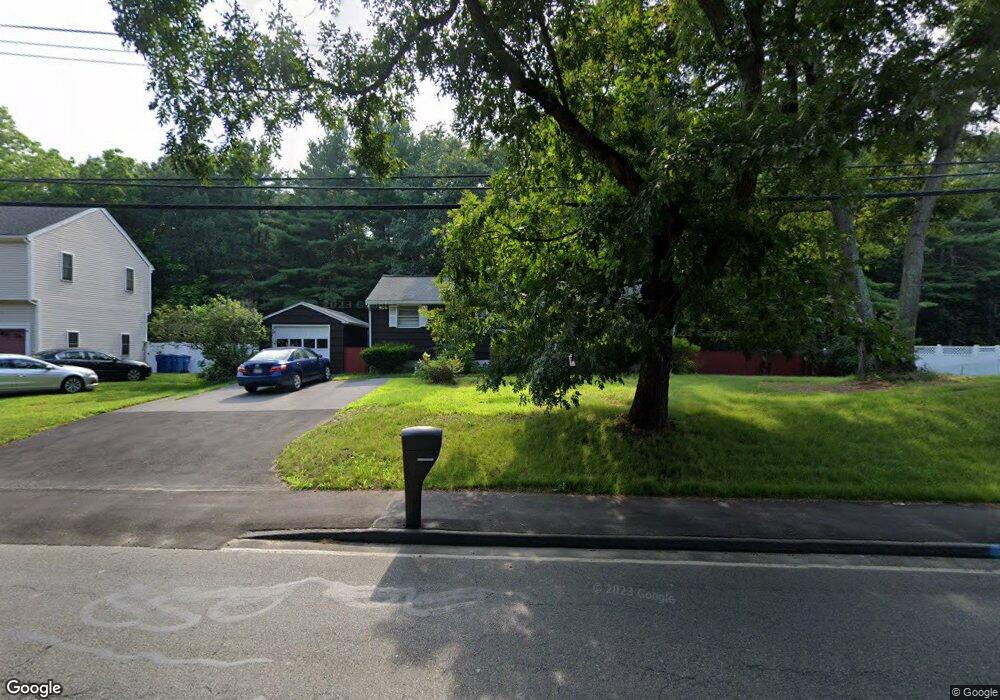
1442 Shawsheen St Tewksbury, MA 01876
Estimated Value: $566,683 - $620,000
3
Beds
1
Bath
1,104
Sq Ft
$536/Sq Ft
Est. Value
About This Home
This home is located at 1442 Shawsheen St, Tewksbury, MA 01876 and is currently estimated at $591,921, approximately $536 per square foot. 1442 Shawsheen St is a home located in Middlesex County with nearby schools including Heath-Brook Elementary School, John F. Ryan Elementary School, and John W. Wynn Middle School.
Ownership History
Date
Name
Owned For
Owner Type
Purchase Details
Closed on
May 27, 2025
Sold by
Mcnay Robert P and Mcnay Dorothy J
Bought by
1442 Shawsheen Street Rt and Mcnay
Current Estimated Value
Purchase Details
Closed on
Jul 18, 1973
Bought by
Mcnay Robert P and Mcnay Dorothy J
Create a Home Valuation Report for This Property
The Home Valuation Report is an in-depth analysis detailing your home's value as well as a comparison with similar homes in the area
Home Values in the Area
Average Home Value in this Area
Purchase History
| Date | Buyer | Sale Price | Title Company |
|---|---|---|---|
| 1442 Shawsheen Street Rt | -- | None Available | |
| 1442 Shawsheen Street Rt | -- | None Available | |
| Mcnay Robert P | $32,900 | -- |
Source: Public Records
Tax History Compared to Growth
Tax History
| Year | Tax Paid | Tax Assessment Tax Assessment Total Assessment is a certain percentage of the fair market value that is determined by local assessors to be the total taxable value of land and additions on the property. | Land | Improvement |
|---|---|---|---|---|
| 2025 | $6,581 | $497,800 | $270,500 | $227,300 |
| 2024 | $6,374 | $476,000 | $257,600 | $218,400 |
| 2023 | $6,269 | $444,600 | $234,200 | $210,400 |
| 2022 | $6,022 | $396,200 | $203,700 | $192,500 |
| 2021 | $5,706 | $363,000 | $185,200 | $177,800 |
| 2020 | $19,200 | $354,800 | $176,400 | $178,400 |
| 2019 | $5,359 | $338,300 | $167,900 | $170,400 |
| 2018 | $16,896 | $309,800 | $167,900 | $141,900 |
| 2017 | $4,722 | $289,500 | $167,900 | $121,600 |
| 2016 | $4,560 | $278,900 | $167,900 | $111,000 |
| 2015 | $4,310 | $263,300 | $162,900 | $100,400 |
| 2014 | $3,992 | $247,800 | $162,900 | $84,900 |
Source: Public Records
Map
Nearby Homes
- 93 Vale St
- 110 Royal Crest Cir
- 5 Kensington Way Unit 5
- 109 Apache Way
- 71 Apache Way Unit 71
- 261 Apache Way
- 120 Judique Rd
- 906 Old Shawsheen St
- 58 Blanchard St
- 127 Caddy Ct
- 93 Fairway Dr
- 51 Nolan Ct Unit 51
- 837 Livingston St
- 7 Wamesit Rd
- 14 Blanchard St
- 16 Eagle Dr
- 72 Patrick Rd Unit 72
- 111 Patrick Rd Unit 111
- 61 Patrick Rd
- 142 Patrick Rd
- 1436 Shawsheen St
- 1448 Shawsheen St
- 1425 Shawsheen St
- 1430 Shawsheen St
- 1452 Shawsheen St
- 1405 Shawsheen St
- 1424 Shawsheen St
- 1456 Shawsheen St
- 20 Level Ln
- 1418 Shawsheen St
- 55 Polaris Ln
- 65 Polaris Ln
- 41 Polaris Ln
- 15 Polaris Ln
- 15 Compass Ln
- 25 Compass Ln
- 1460 Shawsheen St
- 25 Polaris Ln
- 1412 Shawsheen St
- 12 Breckenridge Rd