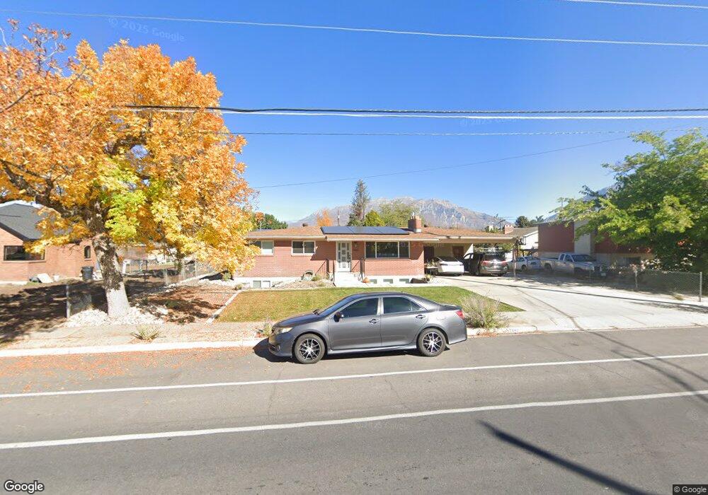
1442 W 1460 N Provo, UT 84604
Grandview North NeighborhoodEstimated Value: $496,000 - $512,803
3
Beds
2
Baths
2,400
Sq Ft
$210/Sq Ft
Est. Value
About This Home
This home is located at 1442 W 1460 N, Provo, UT 84604 and is currently estimated at $504,451, approximately $210 per square foot. 1442 W 1460 N is a home located in Utah County with nearby schools including Westridge Elementary School, Dixon Middle School, and Provo High School.
Ownership History
Date
Name
Owned For
Owner Type
Purchase Details
Closed on
Jul 25, 2023
Sold by
Southwick Brian Wayne and Southwick Sara Ann
Bought by
Southwick Family Revocable Trust and Southwick
Current Estimated Value
Purchase Details
Closed on
Jan 17, 2017
Sold by
Lees Fred
Bought by
Southwick Brain Wayne and Southwick Sara Ann
Home Financials for this Owner
Home Financials are based on the most recent Mortgage that was taken out on this home.
Original Mortgage
$174,000
Interest Rate
4.13%
Mortgage Type
New Conventional
Purchase Details
Closed on
Dec 1, 1998
Sold by
Lees Fred
Bought by
Lees Fred and The Fred Lees Family Trust
Create a Home Valuation Report for This Property
The Home Valuation Report is an in-depth analysis detailing your home's value as well as a comparison with similar homes in the area
Home Values in the Area
Average Home Value in this Area
Purchase History
| Date | Buyer | Sale Price | Title Company |
|---|---|---|---|
| Southwick Family Revocable Trust | -- | None Listed On Document | |
| Southwick Brain Wayne | -- | First Title Insurance Agency | |
| Lees Fred | -- | -- |
Source: Public Records
Mortgage History
| Date | Status | Borrower | Loan Amount |
|---|---|---|---|
| Previous Owner | Southwick Brain Wayne | $174,000 |
Source: Public Records
Tax History Compared to Growth
Tax History
| Year | Tax Paid | Tax Assessment Tax Assessment Total Assessment is a certain percentage of the fair market value that is determined by local assessors to be the total taxable value of land and additions on the property. | Land | Improvement |
|---|---|---|---|---|
| 2025 | $2,367 | $253,550 | $191,500 | $269,500 |
| 2024 | $2,367 | $233,035 | $0 | $0 |
| 2023 | $2,202 | $213,730 | $0 | $0 |
| 2022 | $2,384 | $233,310 | $0 | $0 |
| 2021 | $1,719 | $293,300 | $108,000 | $185,300 |
| 2020 | $1,657 | $265,100 | $98,200 | $166,900 |
| 2019 | $1,545 | $257,000 | $98,200 | $158,800 |
| 2018 | $1,349 | $227,700 | $89,600 | $138,100 |
| 2017 | $1,305 | $124,740 | $0 | $0 |
| 2016 | $1,248 | $107,855 | $0 | $0 |
| 2015 | $1,188 | $103,730 | $0 | $0 |
| 2014 | $992 | $90,365 | $0 | $0 |
Source: Public Records
Map
Nearby Homes
- 1471 W 1460 N
- 1574 W 1400 N
- 1188 W 1380 N
- 1250 Jordan Ave
- 1104 N 1220 W
- 1500 Jordan Ave
- 1620 W 1000 N
- 986 N 1550 W
- 1516 W 1970 N
- 1893 Cascade Dr
- 1503 N 1980 W
- 493 E 2000 S
- 920 W Columbia Ln
- 1763 Willowbrook Dr Unit 4D1
- 1685 Hickory Ln
- 932 N 1760 W
- 1616 N 2100 W
- 1661 Willowbrook Dr
- 1149 N 850 W
- 962 Independence Ave