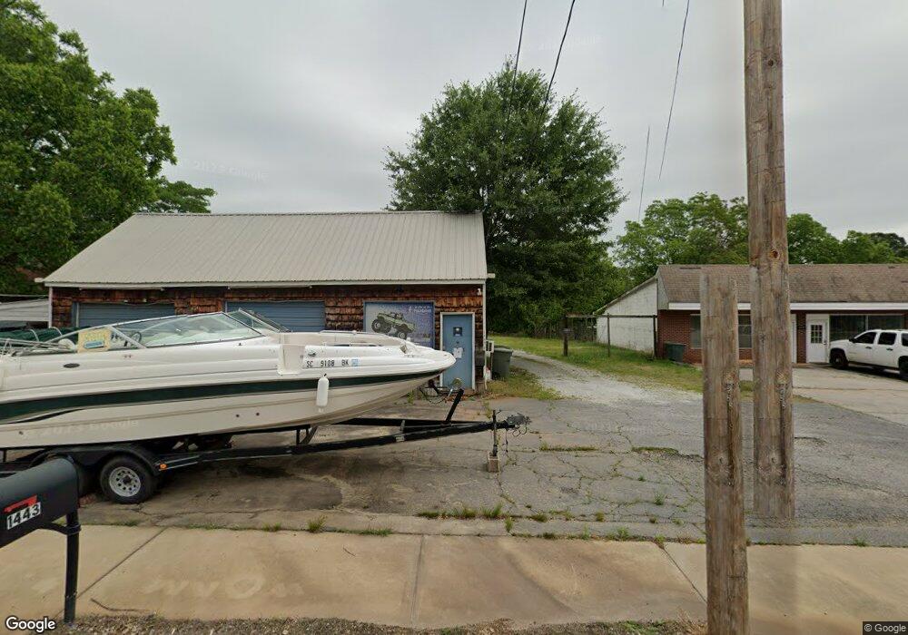
1443 W Main St West Union, SC 29696
Estimated Value: $175,718
--
Bed
--
Bath
1,014
Sq Ft
$173/Sq Ft
Est. Value
About This Home
This home is located at 1443 W Main St, West Union, SC 29696 and is currently estimated at $175,718, approximately $173 per square foot. 1443 W Main St is a home located in Oconee County with nearby schools including Walhalla Elementary School, Walhalla Middle School, and Walhalla High School.
Ownership History
Date
Name
Owned For
Owner Type
Purchase Details
Closed on
Jul 10, 2025
Sold by
Baker Land Company Llc
Bought by
Trackin Dirt Llc
Current Estimated Value
Home Financials for this Owner
Home Financials are based on the most recent Mortgage that was taken out on this home.
Original Mortgage
$70,000
Outstanding Balance
$64,527
Interest Rate
6.89%
Mortgage Type
New Conventional
Estimated Equity
$111,191
Create a Home Valuation Report for This Property
The Home Valuation Report is an in-depth analysis detailing your home's value as well as a comparison with similar homes in the area
Home Values in the Area
Average Home Value in this Area
Purchase History
| Date | Buyer | Sale Price | Title Company |
|---|---|---|---|
| Trackin Dirt Llc | $175,000 | None Listed On Document |
Source: Public Records
Mortgage History
| Date | Status | Borrower | Loan Amount |
|---|---|---|---|
| Open | Trackin Dirt Llc | $70,000 |
Source: Public Records
Tax History Compared to Growth
Tax History
| Year | Tax Paid | Tax Assessment Tax Assessment Total Assessment is a certain percentage of the fair market value that is determined by local assessors to be the total taxable value of land and additions on the property. | Land | Improvement |
|---|---|---|---|---|
| 2025 | $2,045 | $5,012 | $1,756 | $3,256 |
| 2024 | $2,045 | $5,012 | $1,756 | $3,256 |
| 2023 | $2,003 | $5,012 | $1,756 | $3,256 |
| 2022 | $2,006 | $5,012 | $1,756 | $3,256 |
| 2021 | $1,915 | $5,012 | $1,756 | $3,256 |
| 2020 | $1,691 | $0 | $0 | $0 |
| 2019 | $1,691 | $0 | $0 | $0 |
| 2018 | $1,647 | $0 | $0 | $0 |
| 2017 | $1,915 | $0 | $0 | $0 |
| 2016 | $1,915 | $0 | $0 | $0 |
| 2015 | -- | $0 | $0 | $0 |
| 2014 | -- | $7,337 | $3,255 | $4,083 |
| 2013 | -- | $0 | $0 | $0 |
Source: Public Records
Map
Nearby Homes
- 204 Friendship Dr
- 000 Anderson St
- 115 Burns Mill Rd
- 2539 Blue Ridge Blvd
- 209 Moore Ave
- 00 Branch St
- 00 Keowee St
- 208 Branch St
- 1198 Anderson St
- 146 Jefferson Rd
- 320 Jaynes St
- 117 Edney Dr
- 412 N Spring St
- 00 S Spring St
- 203 Tulip Dr
- 130 Raleighs Ln
- 517 Fowler Rd
- 301 Shadybrook Dr Unit B
- 2423 Westminster Hwy
- 00 Fox Run Rd
- 1429 W Main St
- 0 Keowee Overlook Dr Unit 1436584
- 0 Keowee Overlook Dr Unit 1398780
- 00 S Highway 11
- 1425 W Main St Unit B
- 00 S Carolina 11
- 7.918 S Carolina 11
- 1201 S Carolina 11
- 1428 W Main St
- 103 Peninsula Dr
- 1419 W Main St
- 1424 W Main St
- 1415 W Main St Unit B
- 1415B W Main St
- 1420 W Main St
- 1409 W Main St
- 119 N Highway 11
- 325 W Railroad St
- 360 E Railroad St
- 1407 W Main St