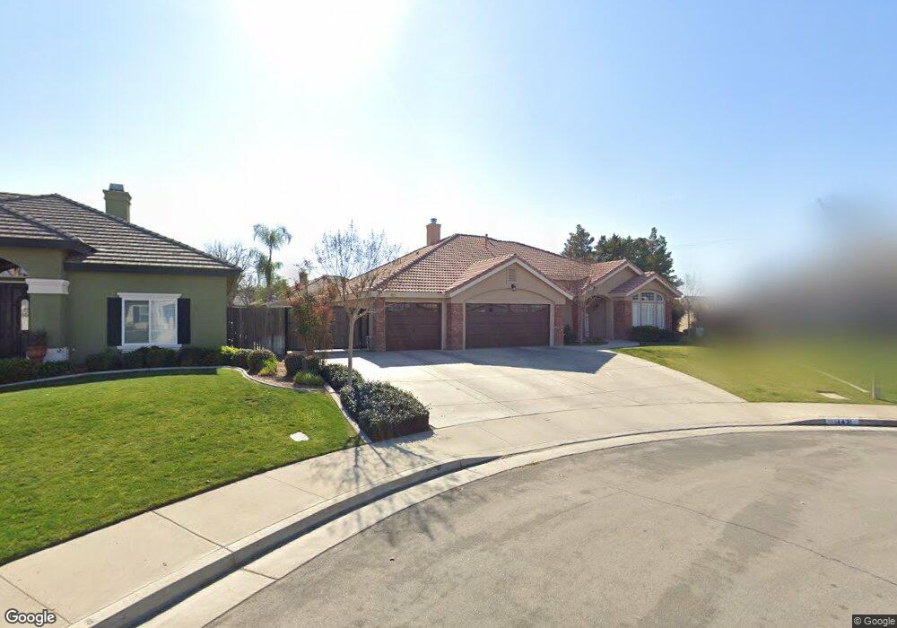
14431 Austin Creek Ave Bakersfield, CA 93314
Estimated Value: $603,644 - $716,000
4
Beds
3
Baths
2,416
Sq Ft
$279/Sq Ft
Est. Value
About This Home
This home is located at 14431 Austin Creek Ave, Bakersfield, CA 93314 and is currently estimated at $672,911, approximately $278 per square foot. 14431 Austin Creek Ave is a home located in Kern County with nearby schools including Patriot Elementary School, Freedom Middle School, and Frontier High School.
Ownership History
Date
Name
Owned For
Owner Type
Purchase Details
Closed on
Aug 9, 2011
Sold by
West Lane and West Denise G
Bought by
West Lane and West Denise G
Current Estimated Value
Purchase Details
Closed on
Apr 26, 2002
Sold by
Batey Development Inc
Bought by
West Lane and West Denise G
Home Financials for this Owner
Home Financials are based on the most recent Mortgage that was taken out on this home.
Original Mortgage
$233,915
Interest Rate
6.74%
Create a Home Valuation Report for This Property
The Home Valuation Report is an in-depth analysis detailing your home's value as well as a comparison with similar homes in the area
Home Values in the Area
Average Home Value in this Area
Purchase History
| Date | Buyer | Sale Price | Title Company |
|---|---|---|---|
| West Lane | -- | None Available | |
| West Lane | $241,500 | First American Title Co |
Source: Public Records
Mortgage History
| Date | Status | Borrower | Loan Amount |
|---|---|---|---|
| Previous Owner | West Lane | $233,915 | |
| Closed | West Lane | $7,198 |
Source: Public Records
Tax History Compared to Growth
Tax History
| Year | Tax Paid | Tax Assessment Tax Assessment Total Assessment is a certain percentage of the fair market value that is determined by local assessors to be the total taxable value of land and additions on the property. | Land | Improvement |
|---|---|---|---|---|
| 2025 | $5,702 | $378,014 | $73,854 | $304,160 |
| 2024 | $5,545 | $370,603 | $72,406 | $298,197 |
| 2023 | $5,545 | $363,338 | $70,987 | $292,351 |
| 2022 | $5,431 | $356,215 | $69,596 | $286,619 |
| 2021 | $5,305 | $349,232 | $68,232 | $281,000 |
| 2020 | $5,228 | $345,653 | $67,533 | $278,120 |
| 2019 | $5,202 | $345,653 | $67,533 | $278,120 |
| 2018 | $4,981 | $332,233 | $64,911 | $267,322 |
| 2017 | $4,966 | $325,720 | $63,639 | $262,081 |
| 2016 | $4,526 | $319,336 | $62,392 | $256,944 |
| 2015 | $4,476 | $314,541 | $61,455 | $253,086 |
| 2014 | $4,379 | $308,382 | $60,252 | $248,130 |
Source: Public Records
Map
Nearby Homes
- 14508 Plumeria Ct
- 14631 Blue Stream Ave
- 14012 Cedar Creek Ave
- 14822 Plumeria Ct
- 14507 Evadell Ct
- 15002 Southernwood Ave
- 15031 Rye Field Dr
- 12403 Hageman Rd
- 12701 Hageman Rd
- 15020 Cotton Blossom Ave
- 14301 Shady Tree Ct
- 14300 Shady Tree Ct
- 14014 Santa fe Ct
- 13946 Santa fe Ct
- 14808 Glover Ct
- 14526 Pams Way
- 14803 Pams Way
- 14308 Cloverdale Ln
- 14712 Pams Way
- 3849 Jenkins Rd
- 14447 Austin Creek Ave
- 14407 Austin Creek Ave
- 14430 Searspoint Ave
- 14406 Searspoint Ave
- 14353 Austin Creek Ave
- 14406 Austin Creek Ave
- 14444 Austin Creek Ave
- 14352 Searspoint Ave
- 14488 Searspoint Ave
- 14432 Austin Creek Ave
- 14352 Austin Creek Ave
- 14335 Austin Creek Ave
- 14334 Searspoint Ave
- 14328 Austin Creek Ave
- 14508 Blue Stream Ave
- 14419 Searspoint Ave
- 14445 Searspoint Ave
- 14507 Blue Stream Ave
- 14361 Searspoint Ave
- 14319 Austin Creek Ave