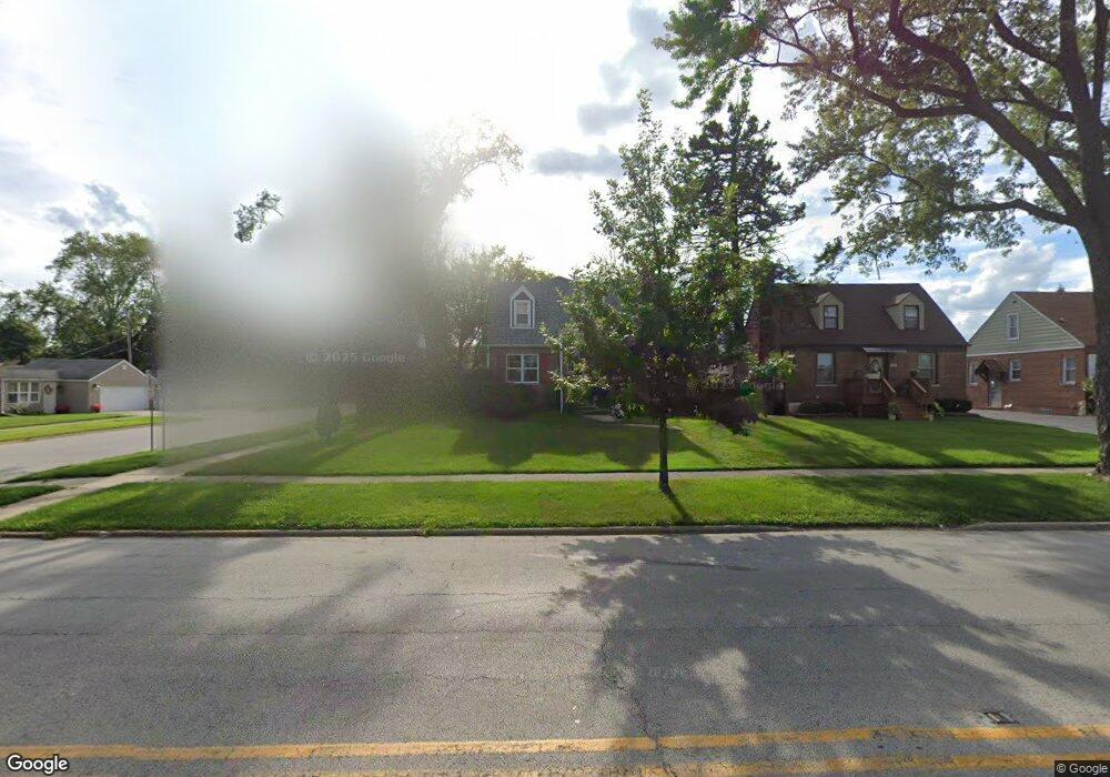
1444 N Taft Ave Berkeley, IL 60163
Estimated Value: $211,000 - $295,000
2
Beds
2
Baths
1,350
Sq Ft
$200/Sq Ft
Est. Value
About This Home
This home is located at 1444 N Taft Ave, Berkeley, IL 60163 and is currently estimated at $270,076, approximately $200 per square foot. 1444 N Taft Ave is a home located in Cook County with nearby schools including Macarthur Intermediate School, Sunnyside Elementary School, and Proviso West High School.
Ownership History
Date
Name
Owned For
Owner Type
Purchase Details
Closed on
Sep 29, 2011
Sold by
Poindexter Maureen
Bought by
Hennessey Brian P
Current Estimated Value
Home Financials for this Owner
Home Financials are based on the most recent Mortgage that was taken out on this home.
Original Mortgage
$93,627
Outstanding Balance
$64,149
Interest Rate
4.5%
Mortgage Type
FHA
Estimated Equity
$205,927
Purchase Details
Closed on
Dec 16, 1997
Sold by
Boyle Barbara J
Bought by
Boyle Barbara J and Barbara J Boyle Trust
Create a Home Valuation Report for This Property
The Home Valuation Report is an in-depth analysis detailing your home's value as well as a comparison with similar homes in the area
Home Values in the Area
Average Home Value in this Area
Purchase History
| Date | Buyer | Sale Price | Title Company |
|---|---|---|---|
| Hennessey Brian P | $103,000 | Attorneys Title Guaranty Fun | |
| Boyle Barbara J | -- | -- |
Source: Public Records
Mortgage History
| Date | Status | Borrower | Loan Amount |
|---|---|---|---|
| Open | Hennessey Brian P | $93,627 |
Source: Public Records
Tax History
| Year | Tax Paid | Tax Assessment Tax Assessment Total Assessment is a certain percentage of the fair market value that is determined by local assessors to be the total taxable value of land and additions on the property. | Land | Improvement |
|---|---|---|---|---|
| 2025 | $7,293 | $23,001 | $4,208 | $18,793 |
| 2024 | $7,293 | $23,001 | $4,208 | $18,793 |
| 2023 | $6,052 | $23,001 | $4,208 | $18,793 |
| 2022 | $6,052 | $17,197 | $2,869 | $14,328 |
| 2021 | $6,072 | $17,196 | $2,868 | $14,328 |
| 2020 | $5,820 | $17,196 | $2,868 | $14,328 |
| 2019 | $5,361 | $16,077 | $2,677 | $13,400 |
| 2018 | $5,253 | $16,077 | $2,677 | $13,400 |
| 2017 | $5,045 | $16,077 | $2,677 | $13,400 |
| 2016 | $4,410 | $13,392 | $2,486 | $10,906 |
| 2015 | $4,346 | $13,392 | $2,486 | $10,906 |
| 2014 | $4,289 | $13,392 | $2,486 | $10,906 |
| 2013 | $3,331 | $11,726 | $2,486 | $9,240 |
Source: Public Records
Map
Nearby Homes
- 1428 1/2 N Ashbel Ave
- 1447 N Ashbel Ave
- 5706 Saint Charles Rd
- 5700 Saint Charles Rd
- 5905 Superior St
- 1529 N Hillside Ave
- 4938 W Randolph St
- 4904 W Hawthorne Ave
- 5949 School St
- 515 S Parkview Ave
- 504 N Irving Ave
- 593 S Edgewood Ave
- 605 N Wolf Rd Unit B9
- 768 N Rohde Ave
- 330 E Saint Charles Rd
- 520 N Wolf Rd Unit 203
- 1463 Speechley Blvd
- 406 S Poplar Ave
- 244 S Linden Ave
- 2050 Atwood Ave
- 1440 N Taft Ave
- 5818 Bohlander Ave
- 1436 N Taft Ave
- 1500 N Taft Ave
- 1506 N Taft Ave
- 5822 Bohlander Ave
- 1501 Herbert Ave
- 1428 N Taft Ave
- 1451 N Taft Ave
- 1508 N Taft Ave
- 1447 N Taft Ave
- 1505 Herbert Ave
- 1443 N Taft Ave
- 5826 Bohlander Ave
- 1439 N Taft Ave
- 1501 N Taft Ave
- 1509 Herbert Ave
- 1424 N Taft Ave
- 1435 N Taft Ave
- 1512 N Taft Ave
Your Personal Tour Guide
Ask me questions while you tour the home.