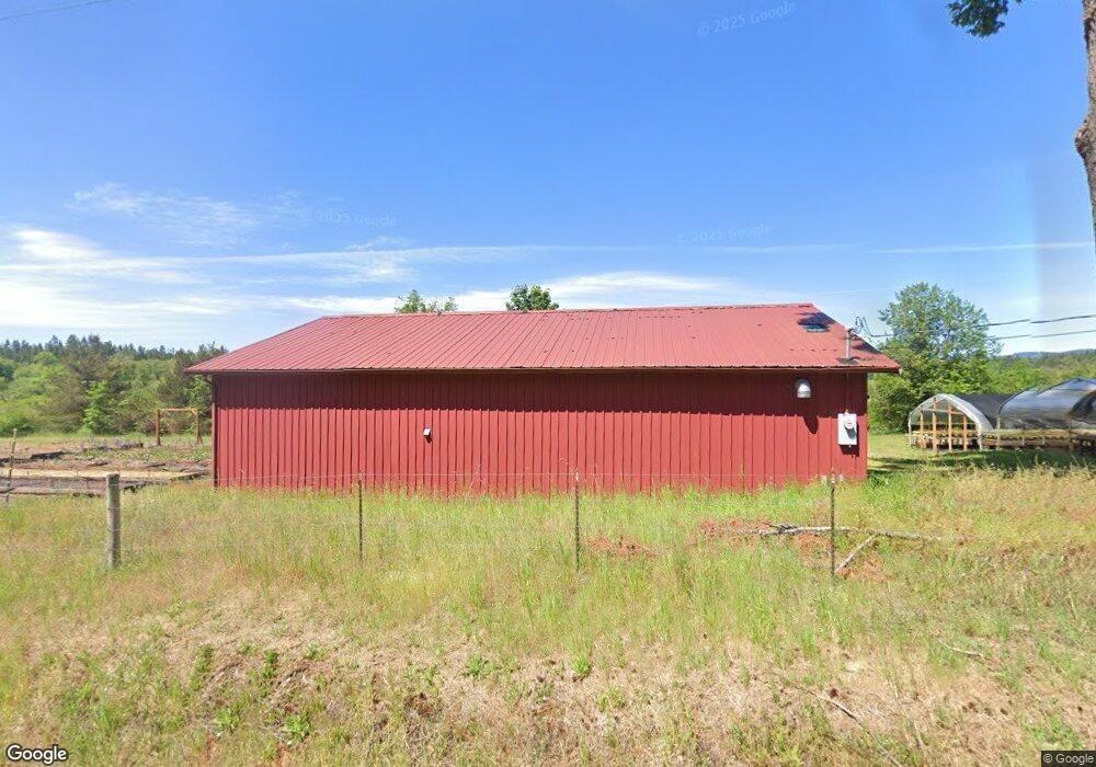
14447 Littlerock Rd SW Rochester, WA 98579
Estimated Value: $202,000 - $489,000
--
Bed
--
Bath
2,064
Sq Ft
$161/Sq Ft
Est. Value
About This Home
This home is located at 14447 Littlerock Rd SW, Rochester, WA 98579 and is currently estimated at $332,161, approximately $160 per square foot. 14447 Littlerock Rd SW is a home located in Thurston County with nearby schools including Littlerock Elementary School, George Washington Bush Middle School, and Tumwater High School.
Ownership History
Date
Name
Owned For
Owner Type
Purchase Details
Closed on
Feb 20, 2019
Sold by
The Nature Conservancy
Bought by
Center For Natural Lands Management
Current Estimated Value
Purchase Details
Closed on
Oct 19, 2001
Sold by
Thurston County Narcotics Task Force
Bought by
The Nature Conservancy
Purchase Details
Closed on
Feb 2, 1999
Sold by
Roderick Judith
Bought by
Thurston County Narcotics Task Force
Purchase Details
Closed on
Oct 9, 1998
Sold by
Israel Gideon
Bought by
Thurston County Narcotics Task Force
Create a Home Valuation Report for This Property
The Home Valuation Report is an in-depth analysis detailing your home's value as well as a comparison with similar homes in the area
Home Values in the Area
Average Home Value in this Area
Purchase History
| Date | Buyer | Sale Price | Title Company |
|---|---|---|---|
| Center For Natural Lands Management | -- | Thurston County Title | |
| The Nature Conservancy | -- | Thurston County Title Co | |
| Thurston County Narcotics Task Force | -- | -- | |
| Thurston County Narcotics Task Force | -- | -- |
Source: Public Records
Tax History Compared to Growth
Tax History
| Year | Tax Paid | Tax Assessment Tax Assessment Total Assessment is a certain percentage of the fair market value that is determined by local assessors to be the total taxable value of land and additions on the property. | Land | Improvement |
|---|---|---|---|---|
| 2024 | $87 | $219,900 | $124,800 | $95,100 |
| 2023 | $87 | $188,500 | $118,700 | $69,800 |
| 2022 | $87 | $139,600 | $69,300 | $70,300 |
| 2021 | $87 | $136,100 | $77,800 | $58,300 |
| 2020 | $87 | $109,900 | $41,200 | $68,700 |
| 2019 | $87 | $115,500 | $51,300 | $64,200 |
| 2018 | $80 | $105,100 | $47,200 | $57,900 |
| 2017 | $84 | $94,200 | $39,900 | $54,300 |
| 2016 | $11 | $91,750 | $44,750 | $47,000 |
| 2014 | -- | $90,200 | $44,500 | $45,700 |
Source: Public Records
Map
Nearby Homes
- 13920 Littlerock Rd SW
- 6123 139th Ln SW
- 7737 Bordeaux Vista Ln SW
- 14443 Mima Rd SW
- 6446 130th Ln SW
- 5033 Polehn Rd SW
- 12910 Mima Rd SW
- 14010 Quiet Waters Ln SW
- 12632 Brooks St SW
- 8725 152nd Ave SW
- 12344 Brooks St SW
- 5145 124th Way SW
- 7101 115th Ave SW
- 9142 Bordeaux Rd SW
- 17340 Sargent Rd SW Unit 35
- 17340 Sargent Rd SW Unit 66
- 17340 Sargent Rd SW Unit 61
- 0 Case Rd SW Unit NWM2408745
- 17615 Irwin St SW
- 3822 163rd Ave SW
- 14410 Littlerock Rd SW
- 14423 Littlerock Rd SW
- 14224 Littlerock Rd SW
- 14212 Littlerock Rd SW
- 14127 Littlerock Rd SW
- 14109 Littlerock Rd SW
- 14126 Littlerock Rd SW
- 14035 Littlerock Rd SW
- 14048 Littlerock Rd SW
- 14040 Littlerock Rd SW
- 6307 140th Ave SW
- 14022 Littlerock Rd SW
- 14021 Littlerock Rd SW
- 14020 Littlerock Rd SW
- 14000 Littlerock Rd SW
- 6229 140th Ave SW
- 6311 139th Ln SW
- 6205 139th Ln SW
- 6218 139th Ln SW
- 15112 Littlerock Rd SW