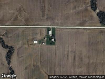
14449 215th St Lewistown, MO 63452
Estimated Value: $65,400 - $285,000
--
Bed
1
Bath
1,256
Sq Ft
$114/Sq Ft
Est. Value
About This Home
This home is located at 14449 215th St, Lewistown, MO 63452 and is currently estimated at $142,850, approximately $113 per square foot. 14449 215th St is a home with nearby schools including Highland Elementary School and Highland Junior/Senior High School.
Ownership History
Date
Name
Owned For
Owner Type
Purchase Details
Closed on
Aug 28, 2023
Sold by
Dent Dale Wayne and Dent Mary Jane
Bought by
Dallstream Christopher G and Dallstream Heather A
Current Estimated Value
Purchase Details
Closed on
Feb 1, 2018
Sold by
Featherlin Laura L
Bought by
Vanmeter Dustin J and Vanmeter Christina M
Home Financials for this Owner
Home Financials are based on the most recent Mortgage that was taken out on this home.
Original Mortgage
$319,301
Interest Rate
3.94%
Mortgage Type
Future Advance Clause Open End Mortgage
Create a Home Valuation Report for This Property
The Home Valuation Report is an in-depth analysis detailing your home's value as well as a comparison with similar homes in the area
Home Values in the Area
Average Home Value in this Area
Purchase History
| Date | Buyer | Sale Price | Title Company |
|---|---|---|---|
| Dallstream Christopher G | -- | None Listed On Document | |
| Vanmeter Dustin J | -- | None Available |
Source: Public Records
Mortgage History
| Date | Status | Borrower | Loan Amount |
|---|---|---|---|
| Previous Owner | Vanmeter Dustin J | $319,301 | |
| Previous Owner | Vanmeter Jeanette | $351,477 | |
| Previous Owner | Featherlin Preston E | $0 |
Source: Public Records
Tax History Compared to Growth
Tax History
| Year | Tax Paid | Tax Assessment Tax Assessment Total Assessment is a certain percentage of the fair market value that is determined by local assessors to be the total taxable value of land and additions on the property. | Land | Improvement |
|---|---|---|---|---|
| 2024 | $360 | $5,530 | $700 | $4,830 |
| 2023 | $360 | $5,530 | $700 | $4,830 |
| 2022 | $360 | $5,530 | $0 | $0 |
| 2021 | $359 | $5,530 | $0 | $0 |
| 2020 | $362 | $5,530 | $0 | $0 |
| 2019 | $321 | $5,530 | $0 | $0 |
| 2018 | $320 | $11,300 | $4,720 | $6,580 |
| 2017 | $617 | $11,300 | $4,720 | $6,580 |
| 2016 | $637 | $11,300 | $4,720 | $6,580 |
| 2015 | -- | $11,300 | $4,720 | $6,580 |
| 2013 | -- | $11,100 | $0 | $0 |
Source: Public Records
Map
Nearby Homes
- 0 145th Ave Unit MAR25009349
- 0 145th Ave Unit MAR25027403
- 0 S Maple St
- 1 State Highway H
- 2 State Highway H
- 102 W Quincy St
- 202 Congress St
- 202 Lincoln St
- 415 N 5th St
- 25501 Heritage Ave
- 23985 Granite Ave
- xx State Highway V
- 35 Lakeview Dr
- 104 E Bryan St
- 53437 State Highway V
- 53437 State Highway V
- XXX Trail Creek Ave
- 59801 Towson Place
- N/A State Highway V
- 1762 Ssr-W