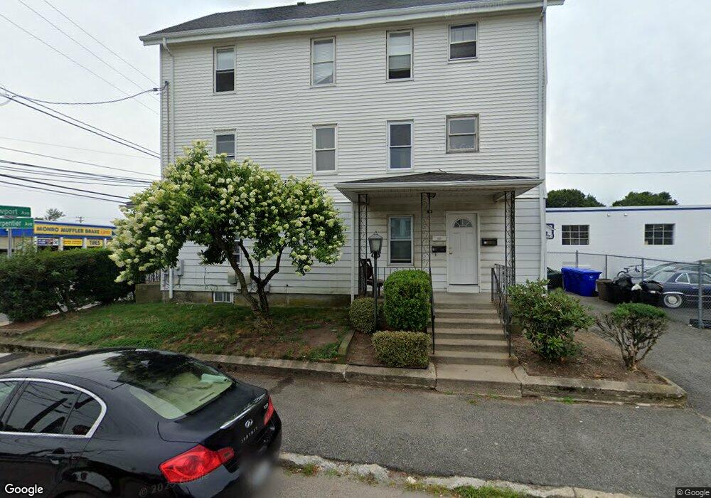
1446 Newport Ave Pawtucket, RI 02861
Darlington NeighborhoodEstimated Value: $368,259 - $723,000
6
Beds
3
Baths
3,432
Sq Ft
$163/Sq Ft
Est. Value
About This Home
This home is located at 1446 Newport Ave, Pawtucket, RI 02861 and is currently estimated at $559,065, approximately $162 per square foot. 1446 Newport Ave is a home located in Providence County with nearby schools including St Cecilia School and Dayspring Christian Academy.
Ownership History
Date
Name
Owned For
Owner Type
Purchase Details
Closed on
Dec 7, 2001
Sold by
Lapointe Wilfred J and Lapointe Gilbert
Bought by
Sousa Emanuel and Sousa Donna
Current Estimated Value
Home Financials for this Owner
Home Financials are based on the most recent Mortgage that was taken out on this home.
Original Mortgage
$110,250
Interest Rate
6.67%
Create a Home Valuation Report for This Property
The Home Valuation Report is an in-depth analysis detailing your home's value as well as a comparison with similar homes in the area
Home Values in the Area
Average Home Value in this Area
Purchase History
| Date | Buyer | Sale Price | Title Company |
|---|---|---|---|
| Sousa Emanuel | $122,500 | -- |
Source: Public Records
Mortgage History
| Date | Status | Borrower | Loan Amount |
|---|---|---|---|
| Open | Sousa Emanuel | $110,000 | |
| Closed | Sousa Emanuel | $110,250 |
Source: Public Records
Tax History Compared to Growth
Tax History
| Year | Tax Paid | Tax Assessment Tax Assessment Total Assessment is a certain percentage of the fair market value that is determined by local assessors to be the total taxable value of land and additions on the property. | Land | Improvement |
|---|---|---|---|---|
| 2025 | $5,459 | $415,100 | $87,500 | $327,600 |
| 2024 | $5,122 | $415,100 | $87,500 | $327,600 |
| 2023 | $5,018 | $296,200 | $58,400 | $237,800 |
| 2022 | $4,911 | $296,200 | $58,400 | $237,800 |
| 2021 | $4,911 | $296,200 | $58,400 | $237,800 |
| 2020 | $4,289 | $205,300 | $54,600 | $150,700 |
| 2019 | $4,289 | $205,300 | $54,600 | $150,700 |
| 2018 | $4,133 | $205,300 | $54,600 | $150,700 |
| 2017 | $4,108 | $180,800 | $47,700 | $133,100 |
| 2016 | $3,958 | $180,800 | $47,700 | $133,100 |
| 2015 | $3,958 | $180,800 | $47,700 | $133,100 |
| 2014 | $3,090 | $134,000 | $47,700 | $86,300 |
Source: Public Records
Map
Nearby Homes
- 68 Slade St
- 97 Wendell St
- 139 Tweed St
- 57 Cedarbrook Rd
- 41 Calder St
- 65 Cedarbrook Rd
- 50 Stearns St
- 44 Stanley St
- 26 Blackburn St
- 548 Kenyon Ave Unit 25
- 548 Kenyon Ave Unit 27
- 548 Kenyon Ave Unit 45
- 0 Cedar St
- 342 Grand Ave
- 118 Chaplin St
- 83 Chaplin St
- 103 Clews St
- 207 Benefit St
- 31 Norris Ave
- 15 Don Ct
- 1464 Newport Ave
- 50 Charpentier Ave
- 50 Charpentier Ave Unit 2
- 50 Charpentier Ave Unit 1
- 45 Charpentier Ave
- 418 Benefit St
- 52 Charpentier Ave Unit 2
- 44 Charpentier Ave
- 414 Benefit St
- 39 Charpentier Ave
- 1468 Newport Ave
- 1468 Newport Ave Unit 2
- 40 Charpentier Ave
- 1470 Newport Ave
- 1470 Newport Ave Unit 1
- 408 Benefit St
- 33 Charpentier Ave
- 404 Benefit St
- 37 Peckham St
- 421 Benefit St