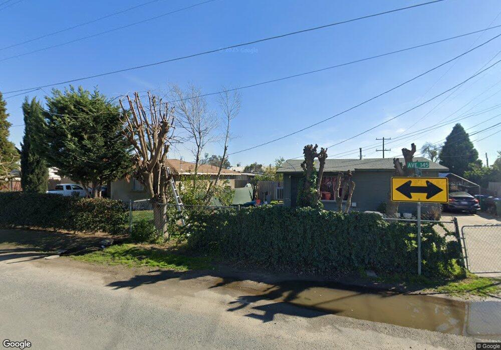
14461 Road 192 Poplar, CA 93257
Estimated Value: $295,000 - $338,766
4
Beds
2
Baths
1,336
Sq Ft
$239/Sq Ft
Est. Value
About This Home
This home is located at 14461 Road 192, Poplar, CA 93257 and is currently estimated at $318,692, approximately $238 per square foot. 14461 Road 192 is a home located in Tulare County with nearby schools including Pleasant View Elementary School, Monache High School, and Strathmore High School.
Ownership History
Date
Name
Owned For
Owner Type
Purchase Details
Closed on
Jul 8, 2005
Sold by
Alvarado Josefina
Bought by
Gonzalez Juan M
Current Estimated Value
Purchase Details
Closed on
May 10, 2004
Sold by
Walker Jerry Dale
Bought by
Alvarado Josefina
Home Financials for this Owner
Home Financials are based on the most recent Mortgage that was taken out on this home.
Original Mortgage
$50,000
Interest Rate
5.5%
Mortgage Type
Purchase Money Mortgage
Create a Home Valuation Report for This Property
The Home Valuation Report is an in-depth analysis detailing your home's value as well as a comparison with similar homes in the area
Home Values in the Area
Average Home Value in this Area
Purchase History
| Date | Buyer | Sale Price | Title Company |
|---|---|---|---|
| Gonzalez Juan M | $163,000 | Financial Title Company | |
| Alvarado Josefina | $100,000 | Chicago Title Co |
Source: Public Records
Mortgage History
| Date | Status | Borrower | Loan Amount |
|---|---|---|---|
| Previous Owner | Alvarado Josefina | $50,000 | |
| Closed | Alvarado Josefina | $44,000 |
Source: Public Records
Tax History Compared to Growth
Tax History
| Year | Tax Paid | Tax Assessment Tax Assessment Total Assessment is a certain percentage of the fair market value that is determined by local assessors to be the total taxable value of land and additions on the property. | Land | Improvement |
|---|---|---|---|---|
| 2025 | $2,255 | $222,616 | $68,328 | $154,288 |
| 2024 | $2,255 | $218,252 | $66,989 | $151,263 |
| 2023 | $2,255 | $213,974 | $65,676 | $148,298 |
| 2022 | $2,163 | $209,780 | $64,389 | $145,391 |
| 2021 | $2,136 | $205,666 | $63,126 | $142,540 |
| 2020 | $2,104 | $203,557 | $62,479 | $141,078 |
| 2019 | $2,062 | $199,566 | $61,254 | $138,312 |
| 2018 | $2,022 | $195,653 | $60,053 | $135,600 |
| 2017 | $1,988 | $191,816 | $58,875 | $132,941 |
| 2016 | $1,905 | $188,055 | $57,721 | $130,334 |
| 2015 | $1,835 | $185,230 | $56,854 | $128,376 |
| 2014 | $1,835 | $181,601 | $55,740 | $125,861 |
Source: Public Records
Map
Nearby Homes
- 0 SW Road 192 Unit#19
- 0 SW Road 192 Unit #21 Unit 232747
- 0 SW Road 192 Unit# 20
- 14725 Walker Rd
- 13250 Road 184
- 13291 Road 184
- 17771 Avenue 152
- 18925 Avenue 168
- 0 Avenue 168 Unit 237962
- 0 Avenue 168 Unit 235558
- 249 S Westwood St
- 15247 Road 223
- 2280 W Glenn Ave
- 16847 Road 168
- 1448 S Westwood Rd
- 575 N Brandy Way
- 16870 Cloverdale Rd
- 100 S Westwood St Unit 1
- 100 S Westwood St Unit 17
- 100 S Westwood St
- 19165 Avenue 145
- 14518 Kilroy Rd
- 14510 Kilroy Rd
- 14509 Kilroy Rd
- 14507 Road 192
- 14433 Road 192
- 14521 Road 192
- 19148 Avenue 144
- 14523 Kilroy Rd
- 14490 Road 192
- 19160 Avenue 144
- 14466 Road 191
- 19130 145
- 14534 Kilroy Rd
- 14542 Kilroy Rd
- 14512 Road 192
- 14531 Road 192
- 14466 191
- 14518 Road 192
- 14467 Tobias Rd