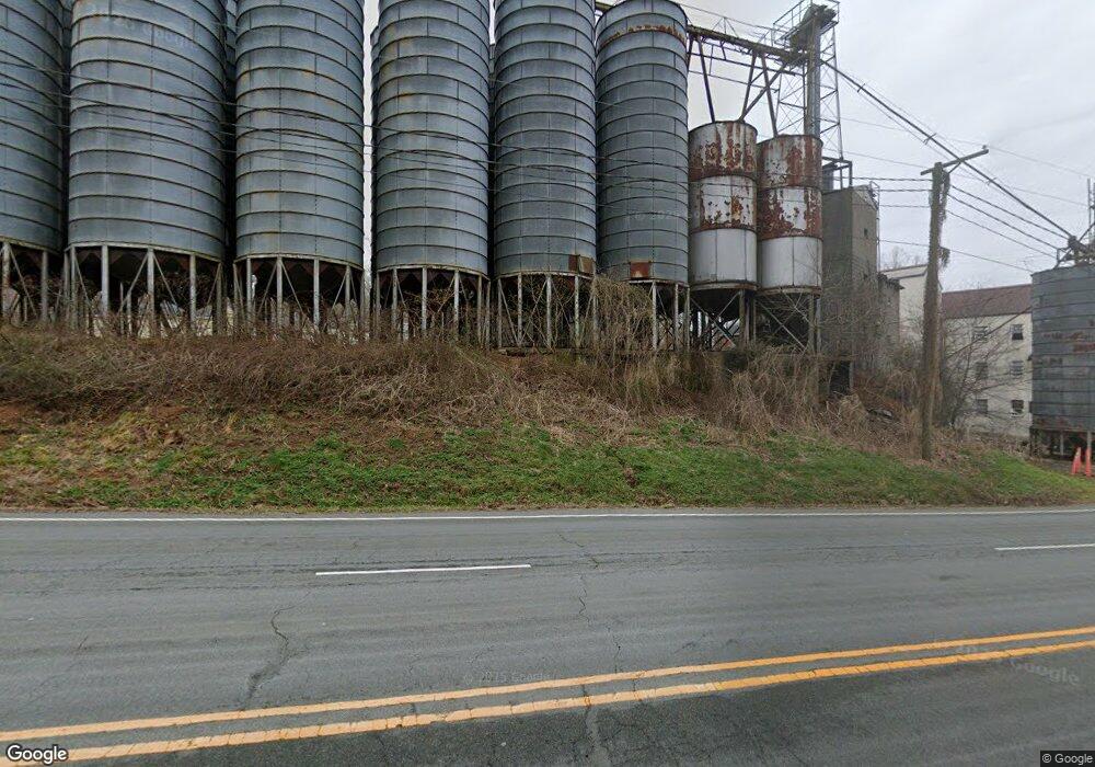
14463 Washington Hwy Ashland, VA 23005
Estimated Value: $888,560
--
Bed
--
Bath
9,675
Sq Ft
$92/Sq Ft
Est. Value
About This Home
This home is located at 14463 Washington Hwy, Ashland, VA 23005 and is currently estimated at $888,560, approximately $91 per square foot. 14463 Washington Hwy is a home located in Hanover County with nearby schools including Henry Clay Elementary School, Liberty Middle School, and Patrick Henry High School.
Ownership History
Date
Name
Owned For
Owner Type
Purchase Details
Closed on
Apr 1, 2024
Sold by
Ashland Roller Mills Inc
Bought by
Davey Resource Group Inc
Current Estimated Value
Purchase Details
Closed on
Jan 20, 2023
Sold by
Ashland Roller Mills Inc
Bought by
Hanover Washington Llc
Create a Home Valuation Report for This Property
The Home Valuation Report is an in-depth analysis detailing your home's value as well as a comparison with similar homes in the area
Home Values in the Area
Average Home Value in this Area
Purchase History
| Date | Buyer | Sale Price | Title Company |
|---|---|---|---|
| Davey Resource Group Inc | $8,062 | None Listed On Document | |
| Davey Resource Group Inc | $8,062 | None Listed On Document | |
| Hanover Washington Llc | $750,000 | -- |
Source: Public Records
Tax History Compared to Growth
Tax History
| Year | Tax Paid | Tax Assessment Tax Assessment Total Assessment is a certain percentage of the fair market value that is determined by local assessors to be the total taxable value of land and additions on the property. | Land | Improvement |
|---|---|---|---|---|
| 2025 | $5,550 | $685,200 | $209,100 | $476,100 |
| 2024 | $5,629 | $694,900 | $218,800 | $476,100 |
| 2023 | $5,163 | $670,500 | $213,800 | $456,700 |
| 2022 | $5,431 | $670,500 | $213,800 | $456,700 |
| 2021 | $5,551 | $685,300 | $213,800 | $471,500 |
| 2020 | $5,551 | $685,300 | $213,800 | $471,500 |
| 2019 | $5,456 | $673,600 | $207,900 | $465,700 |
| 2018 | $5,456 | $673,600 | $207,900 | $465,700 |
| 2017 | $5,456 | $673,600 | $207,900 | $465,700 |
| 2016 | $5,203 | $642,300 | $199,800 | $442,500 |
| 2015 | $5,203 | $642,300 | $199,800 | $442,500 |
| 2014 | $5,203 | $642,300 | $199,800 | $442,500 |
Source: Public Records
Map
Nearby Homes
- 11224 Hill Ridge Ct
- 11228 Hill Ridge Ct
- 11223 Hill Ridge Ct
- 11182 Tinsley Dr
- Rockefeller Plan at StillCroft
- Shearwater Plan at StillCroft
- Bridgeport Plan at StillCroft
- Whimbrel Plan at StillCroft
- Brady Plan at StillCroft
- Jameson Plan at StillCroft
- Kingfisher Plan at StillCroft
- Henlopen Plan at StillCroft
- Cassidy Plan at StillCroft
- Waterford Plan at StillCroft
- Chesapeake Plan at StillCroft
- Mayberry Plan at StillCroft
- 14166 Independence Rd
- 14106 Falcon Crest Ct
- 11121 Stillcroft Ln
- 11115 Stillcroft Ln
- 14471 Washington Hwy
- 14433 Washington Hwy
- 14504 Washington Hwy
- 14510 Washington Hwy
- 14498 Washington Hwy
- 14516 Washington Hwy
- 14515 Washington Hwy
- 14522 Washington Hwy
- 15002 Washington Hwy
- 15002 Washington Hwy Unit A
- 15002 Washington Hwy Unit A
- 15145 Washington Hwy
- 15117 Washington Hwy
- 15004 Dearborn Dr
- 15111 Washington Hwy
- 15012 Washington Hwy
- 15017 Washington Hwy
- 15012 Dearborn Dr
- 15025 Washington Hwy
- 15036 Washington Hwy