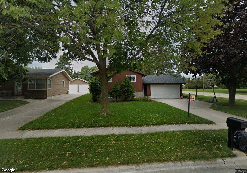
1448 Hubbard Cir Manitowoc, WI 54220
Estimated Value: $283,685 - $284,000
4
Beds
2
Baths
1,472
Sq Ft
$193/Sq Ft
Est. Value
About This Home
This home is located at 1448 Hubbard Cir, Manitowoc, WI 54220 and is currently estimated at $283,843, approximately $192 per square foot. 1448 Hubbard Cir is a home located in Manitowoc County with nearby schools including Jackson Elementary School, Wilson Middle School, and Lincoln High School.
Ownership History
Date
Name
Owned For
Owner Type
Purchase Details
Closed on
Jul 15, 2019
Sold by
Berzinsky Karen J
Bought by
Fictum Derek
Current Estimated Value
Home Financials for this Owner
Home Financials are based on the most recent Mortgage that was taken out on this home.
Original Mortgage
$152,192
Outstanding Balance
$134,232
Interest Rate
3.62%
Mortgage Type
FHA
Estimated Equity
$149,611
Create a Home Valuation Report for This Property
The Home Valuation Report is an in-depth analysis detailing your home's value as well as a comparison with similar homes in the area
Home Values in the Area
Average Home Value in this Area
Purchase History
| Date | Buyer | Sale Price | Title Company |
|---|---|---|---|
| Fictum Derek | $155,000 | None Available |
Source: Public Records
Mortgage History
| Date | Status | Borrower | Loan Amount |
|---|---|---|---|
| Open | Fictum Derek | $1,151 | |
| Open | Fictum Derek | $13,700 | |
| Open | Fictum Derek | $21,140 | |
| Open | Fictum Derek | $152,192 | |
| Previous Owner | Crabtree Shirley M | $65,000 | |
| Previous Owner | Berzinsky John E | $168,000 | |
| Previous Owner | Berzinsky John E | $85,000 |
Source: Public Records
Tax History Compared to Growth
Tax History
| Year | Tax Paid | Tax Assessment Tax Assessment Total Assessment is a certain percentage of the fair market value that is determined by local assessors to be the total taxable value of land and additions on the property. | Land | Improvement |
|---|---|---|---|---|
| 2024 | $3,776 | $210,600 | $24,200 | $186,400 |
| 2023 | $3,195 | $210,600 | $24,200 | $186,400 |
| 2022 | $2,836 | $156,300 | $24,200 | $132,100 |
| 2021 | $2,842 | $156,300 | $24,200 | $132,100 |
| 2020 | $2,254 | $114,800 | $24,200 | $90,600 |
| 2019 | $2,217 | $114,800 | $24,200 | $90,600 |
| 2018 | $2,183 | $114,800 | $24,200 | $90,600 |
| 2017 | $2,165 | $114,800 | $24,200 | $90,600 |
| 2016 | $2,245 | $114,800 | $24,200 | $90,600 |
| 2015 | $2,312 | $114,800 | $24,200 | $90,600 |
| 2014 | $2,252 | $114,800 | $24,200 | $90,600 |
| 2013 | $2,282 | $114,800 | $24,200 | $90,600 |
Source: Public Records
Map
Nearby Homes
- 4412 Just Ct
- 1444 Hazelwood Dr
- 3912 Wildwood Dr
- 2205 Kellner St
- 3718 Westwood Ln
- 1933 Kellner St
- 3608 Menasha Ave
- 1127 Tanglewood Rd
- 4326 Michigan Ave
- 4524 Bleser Ct
- 4911 Elmer Ln
- Lt2 Virginia Dr
- Lt3 Virginia Dr
- Lt1 Virginia Dr
- Lt4 Virginia Dr
- 4313 Deerbrook Ln
- 625 River Bluff Dr
- 1316 N 23rd St
- 501 River Bluff Dr
- 1008 N 23rd St
- 1444 Hubbard Cir
- 1442 &1444 Hubbard Cir
- 1440 Hubbard Cir
- 1445 Lee Cir
- 1445 Hubbard Cir
- 1450 Kellner St
- 1436 Hubbard Cir
- 1425 Kellner St
- 1456 Kellner St
- 1420 Kellner St
- 1435 Hubbard Cir
- 1443 Lee Cir
- 1455 Kellner St
- 1432 Hubbard Cir
- 1419 Kellner St
- 1419 Hubbard Cir
- 1462 Kellner St
- 1414 Kellner St
- 1441 Lee Cir
- 4315 Savage Ln