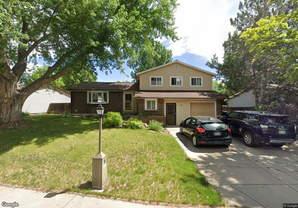
1448 Mayfield Cir Longmont, CO 80501
Southmoor NeighborhoodEstimated Value: $547,972 - $596,000
3
Beds
3
Baths
1,700
Sq Ft
$338/Sq Ft
Est. Value
About This Home
This home is located at 1448 Mayfield Cir, Longmont, CO 80501 and is currently estimated at $574,493, approximately $337 per square foot. 1448 Mayfield Cir is a home located in Boulder County with nearby schools including Indian Peaks Elementary School, Sunset Middle School, and Niwot High School.
Ownership History
Date
Name
Owned For
Owner Type
Purchase Details
Closed on
Jun 16, 2021
Sold by
Ferris Livingston P and Ferris Emily C
Bought by
Harrison Amy A
Current Estimated Value
Home Financials for this Owner
Home Financials are based on the most recent Mortgage that was taken out on this home.
Original Mortgage
$508,250
Outstanding Balance
$460,157
Interest Rate
2.9%
Mortgage Type
New Conventional
Estimated Equity
$114,336
Purchase Details
Closed on
Mar 24, 2006
Sold by
Ferris Livingston P and Ferris Emily C
Bought by
Ferris Livingston P
Purchase Details
Closed on
Oct 4, 1977
Bought by
Ferris Livingston P and Ferris Emily C
Purchase Details
Closed on
Jan 12, 1977
Bought by
Ferris Livingston P and Ferris Emily C
Create a Home Valuation Report for This Property
The Home Valuation Report is an in-depth analysis detailing your home's value as well as a comparison with similar homes in the area
Home Values in the Area
Average Home Value in this Area
Purchase History
| Date | Buyer | Sale Price | Title Company |
|---|---|---|---|
| Harrison Amy A | $535,000 | Land Title Guarantee Company | |
| Ferris Livingston P | -- | None Available | |
| Ferris Livingston P | $43,600 | -- | |
| Ferris Livingston P | -- | -- |
Source: Public Records
Mortgage History
| Date | Status | Borrower | Loan Amount |
|---|---|---|---|
| Open | Harrison Amy A | $508,250 |
Source: Public Records
Tax History Compared to Growth
Tax History
| Year | Tax Paid | Tax Assessment Tax Assessment Total Assessment is a certain percentage of the fair market value that is determined by local assessors to be the total taxable value of land and additions on the property. | Land | Improvement |
|---|---|---|---|---|
| 2025 | $3,065 | $33,006 | $12,981 | $20,025 |
| 2024 | $3,065 | $33,006 | $12,981 | $20,025 |
| 2023 | $3,024 | $32,046 | $16,207 | $19,524 |
| 2022 | $2,577 | $26,042 | $11,454 | $14,588 |
| 2021 | $1,914 | $26,791 | $11,783 | $15,008 |
| 2020 | $1,683 | $24,475 | $9,510 | $14,965 |
| 2019 | $1,656 | $24,475 | $9,510 | $14,965 |
| 2018 | $1,278 | $20,657 | $6,552 | $14,105 |
| 2017 | $1,261 | $22,838 | $7,244 | $15,594 |
| 2016 | $1,021 | $18,642 | $6,527 | $12,115 |
| 2015 | $973 | $15,904 | $4,776 | $11,128 |
| 2014 | $1,485 | $15,904 | $4,776 | $11,128 |
Source: Public Records
Map
Nearby Homes
- 1435 Missouri Ave
- 1350 S Lincoln St
- 1527 S Vivian St
- 1327 Brookfield Dr
- 1801 S Pratt Pkwy
- 1435 Ashcroft Dr
- 919 S Sherman St
- 1456 Sepia Ave
- 1518 Sepia Ave
- 1028 Katy Ln
- 2030 Emerald Dr
- 2050 Emerald Dr
- 1321 Onyx Cir
- 2119 Onyx Way
- 832 S Bowen St
- 9 Seattle Ln
- 1072 Kane Dr
- 802 Neon Forest Cir
- 2240 Summitview Dr
- 1328 S Terry St
- 1450 Mayfield Cir
- 1446 Mayfield Cir
- 1431 S Sherman St
- 1437 S Sherman St
- 1444 Mayfield Cir
- 1452 Mayfield Cir
- 1425 S Sherman St
- 1447 Mayfield Cir
- 1443 S Sherman St
- 1449 Mayfield Cir
- 1445 Mayfield Cir
- 1451 Mayfield Cir
- 1455 Mayfield Cir
- 1421 S Sherman St
- 1443 Mayfield Cir
- 1442 Mayfield Cir
- 1454 Mayfield Cir
- 1447 S Sherman St
- 1489 Mayfield Cir
- 1487 Mayfield Cir