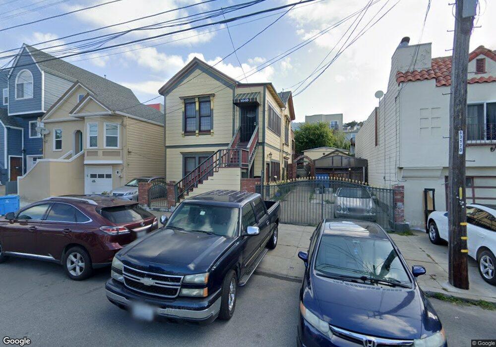
1448 Quesada Ave San Francisco, CA 94124
Bayview NeighborhoodEstimated Value: $844,000 - $1,275,000
--
Bed
2
Baths
2,270
Sq Ft
$455/Sq Ft
Est. Value
About This Home
This home is located at 1448 Quesada Ave, San Francisco, CA 94124 and is currently estimated at $1,033,031, approximately $455 per square foot. 1448 Quesada Ave is a home located in San Francisco County with nearby schools including Carver (George Washington) Elementary School, Willie L. Brown Jr. Middle School, and KIPP Bayview Academy.
Ownership History
Date
Name
Owned For
Owner Type
Purchase Details
Closed on
Jul 21, 2021
Sold by
Bluford Richard and Bluford Jannette
Bought by
Bluford Richard and Bluford Jannette L
Current Estimated Value
Purchase Details
Closed on
Oct 9, 2020
Sold by
Bluford Richard and Bluford Jannette
Bought by
Bluford Richard and Bluford Jannette
Home Financials for this Owner
Home Financials are based on the most recent Mortgage that was taken out on this home.
Original Mortgage
$365,000
Outstanding Balance
$324,648
Interest Rate
2.9%
Mortgage Type
New Conventional
Estimated Equity
$708,383
Purchase Details
Closed on
Jun 22, 2009
Sold by
Bluford Richard and Bluford Jannette
Bought by
Bluford Richard and Bluford Jannette
Home Financials for this Owner
Home Financials are based on the most recent Mortgage that was taken out on this home.
Original Mortgage
$450,000
Interest Rate
4.83%
Mortgage Type
Commercial
Purchase Details
Closed on
Dec 2, 2008
Sold by
Norman Lydia M
Bought by
Norman Lydia M
Purchase Details
Closed on
Jun 27, 2007
Sold by
Bluford Richard and Bluford Jannette
Bought by
Bluford Richard and Bluford Jannette
Home Financials for this Owner
Home Financials are based on the most recent Mortgage that was taken out on this home.
Original Mortgage
$450,000
Interest Rate
6.16%
Mortgage Type
Commercial
Purchase Details
Closed on
Jun 13, 2007
Sold by
Bluford Richard and Bluford Jannette
Bought by
Bluford Richard and Bluford Jannette
Home Financials for this Owner
Home Financials are based on the most recent Mortgage that was taken out on this home.
Original Mortgage
$450,000
Interest Rate
6.16%
Mortgage Type
Commercial
Purchase Details
Closed on
Jun 12, 2007
Sold by
Norman Marvin E
Bought by
Norman Lydia M
Home Financials for this Owner
Home Financials are based on the most recent Mortgage that was taken out on this home.
Original Mortgage
$450,000
Interest Rate
6.16%
Mortgage Type
Commercial
Purchase Details
Closed on
Aug 31, 1994
Sold by
Sacramento Svgs Bank
Bought by
Norman Marvin E and Norman Lydia M
Home Financials for this Owner
Home Financials are based on the most recent Mortgage that was taken out on this home.
Original Mortgage
$175,500
Interest Rate
8.57%
Mortgage Type
Commercial
Purchase Details
Closed on
Oct 18, 1993
Sold by
Central Valley Security Company
Bought by
Sacramento Savings Bank
Create a Home Valuation Report for This Property
The Home Valuation Report is an in-depth analysis detailing your home's value as well as a comparison with similar homes in the area
Home Values in the Area
Average Home Value in this Area
Purchase History
| Date | Buyer | Sale Price | Title Company |
|---|---|---|---|
| Bluford Richard | -- | None Available | |
| Bluford Richard | -- | Accommodation | |
| Bluford Richard | -- | Fidelity National Title | |
| Bluford Richard | -- | Chicago Title Company | |
| Bluford Richard | -- | Chicago Title Company | |
| Norman Lydia M | -- | None Available | |
| Bluford Richard | -- | None Available | |
| Bluford Richard | -- | First American Title Co | |
| Norman Lydia M | -- | First American Title Co | |
| Norman Marvin E | $195,000 | Chicago Title Company | |
| Sacramento Savings Bank | $253,920 | -- |
Source: Public Records
Mortgage History
| Date | Status | Borrower | Loan Amount |
|---|---|---|---|
| Open | Bluford Richard | $365,000 | |
| Closed | Bluford Richard | $450,000 | |
| Closed | Norman Lydia M | $450,000 | |
| Closed | Norman Marvin E | $175,500 |
Source: Public Records
Tax History Compared to Growth
Tax History
| Year | Tax Paid | Tax Assessment Tax Assessment Total Assessment is a certain percentage of the fair market value that is determined by local assessors to be the total taxable value of land and additions on the property. | Land | Improvement |
|---|---|---|---|---|
| 2025 | $5,927 | $454,451 | $242,746 | $211,705 |
| 2024 | $5,927 | $445,544 | $237,988 | $207,556 |
| 2023 | $5,828 | $436,813 | $233,324 | $203,489 |
| 2022 | $4,436 | $313,917 | $134,504 | $179,413 |
| 2021 | $4,353 | $307,765 | $131,867 | $175,898 |
| 2020 | $4,357 | $304,613 | $130,516 | $174,097 |
| 2019 | $4,212 | $298,644 | $127,958 | $170,686 |
| 2018 | $4,067 | $292,773 | $125,442 | $167,331 |
| 2017 | $3,720 | $287,035 | $122,984 | $164,051 |
| 2016 | $3,628 | $281,411 | $120,574 | $160,837 |
| 2015 | $3,578 | $277,187 | $118,764 | $158,423 |
| 2014 | $3,483 | $271,760 | $116,438 | $155,322 |
Source: Public Records
Map
Nearby Homes
- 1379-1381 Palou Ave
- 1411 Oakdale Ave
- 1537 Revere Ave
- 1414 Shafter Ave
- 1484 Newcomb Ave
- 1463 Thomas Ave
- 19 Progress St
- 0 Ship St Unit HD24144152
- 0 Ship St Unit HD24144130
- 0 Ship St Unit HD24144117
- 0 Ship St Unit HD24144142
- 1942 Jennings St
- 1590 Underwood Ave
- 1143 Palou Ave
- 1278 Thomas Ave
- 5264 3rd St Unit 303
- 1661 Palou Ave
- 1688 Wallace Ave Unit 304
- 1539 Oakdale Ave
- 215 Thornton Ave
- 1450 Quesada Ave
- 1438 Quesada Ave
- 1454 Quesada Ave
- 1434 Quesada Ave
- 1458 Quesada Ave
- 1430 Quesada Ave
- 1347 Palou Ave
- 1355 Palou Ave
- 1339 Palou Ave
- 1462 Quesada Ave
- 1426 Quesada Ave
- 1331 Palou Ave
- 1466 Quesada Ave
- 1422 Quesada Ave
- 1327 Palou Ave
- 1363 Palou Ave
- 1470 Quesada Ave
- 1412 Quesada Ave
- 1323 Palou Ave
- 1367 Palou Ave