14487 Township Road 179 Kenton, OH 43326
Estimated Value: $361,000 - $469,653
6
Beds
--
Bath
2,524
Sq Ft
$165/Sq Ft
Est. Value
About This Home
This home is located at 14487 Township Road 179, Kenton, OH 43326 and is currently estimated at $417,413, approximately $165 per square foot. 14487 Township Road 179 is a home located in Hardin County with nearby schools including Kenton Elementary School, Kenton Middle School, and Kenton High School.
Ownership History
Date
Name
Owned For
Owner Type
Purchase Details
Closed on
Mar 31, 2022
Sold by
Hershberger and Anna
Bought by
Gingerich Amos S and Gingerich Lizzie J
Current Estimated Value
Home Financials for this Owner
Home Financials are based on the most recent Mortgage that was taken out on this home.
Original Mortgage
$146,925
Outstanding Balance
$138,604
Interest Rate
4.67%
Mortgage Type
New Conventional
Estimated Equity
$278,809
Purchase Details
Closed on
Feb 11, 2002
Bought by
Hershberger Levi and Hershberger Anna
Create a Home Valuation Report for This Property
The Home Valuation Report is an in-depth analysis detailing your home's value as well as a comparison with similar homes in the area
Home Values in the Area
Average Home Value in this Area
Purchase History
| Date | Buyer | Sale Price | Title Company |
|---|---|---|---|
| Gingerich Amos S | -- | Law Offices Of Schwemer Mckinl | |
| Hershberger Levi | $64,900 | -- |
Source: Public Records
Mortgage History
| Date | Status | Borrower | Loan Amount |
|---|---|---|---|
| Open | Gingerich Amos S | $146,925 |
Source: Public Records
Tax History Compared to Growth
Tax History
| Year | Tax Paid | Tax Assessment Tax Assessment Total Assessment is a certain percentage of the fair market value that is determined by local assessors to be the total taxable value of land and additions on the property. | Land | Improvement |
|---|---|---|---|---|
| 2024 | $4,242 | $98,460 | $39,680 | $58,780 |
| 2023 | $4,242 | $98,460 | $39,680 | $58,780 |
| 2022 | $3,385 | $74,110 | $22,480 | $51,630 |
| 2021 | $3,397 | $74,110 | $22,480 | $51,630 |
| 2020 | $2,940 | $74,110 | $22,480 | $51,630 |
| 2019 | $2,988 | $78,200 | $34,160 | $44,040 |
| 2018 | $2,991 | $78,200 | $34,160 | $44,040 |
| 2017 | $3,278 | $78,200 | $34,160 | $44,040 |
| 2016 | $3,614 | $101,160 | $43,390 | $57,770 |
| 2015 | $3,571 | $101,160 | $43,390 | $57,770 |
| 2014 | $3,543 | $99,360 | $41,590 | $57,770 |
| 2013 | $2,803 | $74,990 | $20,530 | $54,460 |
Source: Public Records
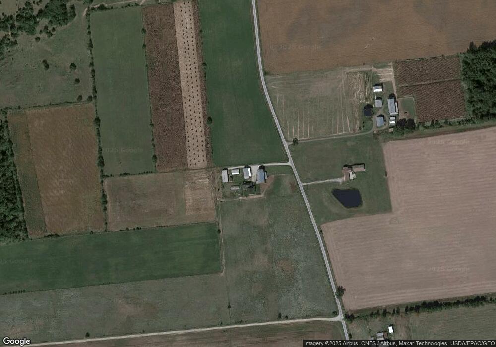
Map
Nearby Homes
- 13450 State Route 292
- 11896 Parklane Dr
- 920 Cooper St
- 320 Letson Ave
- 115 Scioto St
- 727 S Detroit St
- 639 S Main St
- 510 Decatur St
- 508 Decatur St
- 79 Broadway St
- 530 E Franklin St
- 39 Grape St
- 513 E Franklin St
- 1 C Ct
- 121 S High St
- 509 E Carrol St
- 414 Robinson Ave
- 0 N Barron St
- 324 Stone Hedge Ln Unit 324
- 215 N Main St
- 14512 Tr 179
- 14187 Township Road 179
- 14787 Tr 179
- 16820 County Road 160
- 00 Cr 160
- 16861 County Road 160
- 17087 County Road 160
- 16679 County Road 160
- 14001 Township Road 179
- 14971 Cr
- 16580 County Road 160
- 16580 County Road 160
- 15040 State Route 31
- 16589 County Road 160
- 16589 County Road 160
- 16518 County Road 160
- 17357 County Road 160
- 13887 Township Road 179