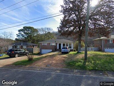
1449 Matt Leonard Dr SW Birmingham, AL 35211
Mason City NeighborhoodEstimated Value: $129,455 - $196,000
3
Beds
2
Baths
1,256
Sq Ft
$123/Sq Ft
Est. Value
About This Home
This home is located at 1449 Matt Leonard Dr SW, Birmingham, AL 35211 and is currently estimated at $154,364, approximately $122 per square foot. 1449 Matt Leonard Dr SW is a home located in Jefferson County with nearby schools including Richard Arrington Elementary School, Hemphill Elementary School, and Wenonah High School.
Ownership History
Date
Name
Owned For
Owner Type
Purchase Details
Closed on
Feb 18, 2025
Sold by
1449 Matt Leonard Dr Sw Series H Of Elda
Bought by
Ramos Miguel
Current Estimated Value
Purchase Details
Closed on
Jan 26, 2023
Sold by
Kaga Llc Trustee
Bought by
1449 Matt Leonard Dr Sw Series H Of Elda
Purchase Details
Closed on
Dec 2, 2020
Sold by
Gregg Renee
Bought by
Blue Lion Management Llc
Purchase Details
Closed on
Jan 1, 2018
Sold by
Blue Lion Management Llc
Bought by
1449 Matt Leonard Dr Sw Land T
Create a Home Valuation Report for This Property
The Home Valuation Report is an in-depth analysis detailing your home's value as well as a comparison with similar homes in the area
Home Values in the Area
Average Home Value in this Area
Purchase History
| Date | Buyer | Sale Price | Title Company |
|---|---|---|---|
| Ramos Miguel | $161,151 | None Listed On Document | |
| 1449 Matt Leonard Dr Sw Series H Of Elda | -- | -- | |
| 1449 Matt Leonard Dr Sw Series H Of Elda | -- | -- | |
| Blue Lion Management Llc | -- | -- | |
| 1449 Matt Leonard Dr Sw Land T | -- | -- |
Source: Public Records
Tax History Compared to Growth
Tax History
| Year | Tax Paid | Tax Assessment Tax Assessment Total Assessment is a certain percentage of the fair market value that is determined by local assessors to be the total taxable value of land and additions on the property. | Land | Improvement |
|---|---|---|---|---|
| 2024 | $1,985 | $27,380 | -- | -- |
| 2022 | $1,499 | $20,680 | $3,240 | $17,440 |
| 2021 | $1,499 | $20,680 | $3,240 | $17,440 |
| 2020 | $1,499 | $20,680 | $3,240 | $17,440 |
| 2019 | $1,499 | $20,680 | $0 | $0 |
| 2018 | $1,349 | $18,600 | $0 | $0 |
| 2017 | $613 | $9,300 | $0 | $0 |
| 2016 | $603 | $9,300 | $0 | $0 |
| 2015 | $603 | $9,300 | $0 | $0 |
| 2014 | $570 | $9,160 | $0 | $0 |
| 2013 | $570 | $9,160 | $0 | $0 |
Source: Public Records
Map
Nearby Homes
- 1445 Spaulding Ishkooda Rd
- 1812 14th Place SW
- 1625 Pine Ave SW
- 1745 Grant Ave SW
- 1625 17th St SW
- 224 E Ann Dr SW
- 141 SW Ann St
- 1641 18th St SW
- 1845 Henry Crumpton Dr
- 1516 16th Way SW
- 1541 18th St SW
- 1500 11th St SW
- 1404 Mims St SW
- 1400 Mims St SW
- 1731 Mims Ave SW
- 1547 Bay Ave SW
- 1404 18th St SW
- 1341 16th Place SW
- 2404 Ishkooda Rd SW
- 1532 Bay Ave SW
- 1449 Matt Leonard Dr SW
- 1445 Matt Leonard Dr SW
- 1453 Matt Leonard Dr SW
- 1441 Matt Leonard Dr SW
- 1457 Matt Leonard Dr SW
- 1437 Matt Leonard Dr SW
- 1452 Matt Leonard Dr SW
- 1444 Matt Leonard Dr SW
- 1440 Matt Leonard Dr SW
- 1433 Matt Leonard Dr SW
- 1501 Matt Leonard Dr SW
- 2201 15th St SW
- 1436 Matt Leonard Dr SW
- 1500 Matt Leonard Dr SW
- 1429 Matt Leonard Dr SW
- 1505 Matt Leonard Dr SW
- 2113 15th St SW
- 1504 Spaulding Ishkooda Rd
- 1432 Matt Leonard Dr SW
- 1501 Spaulding Ishkooda Rd